Gauge Conditions
Description
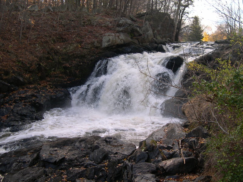
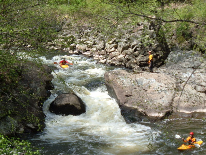
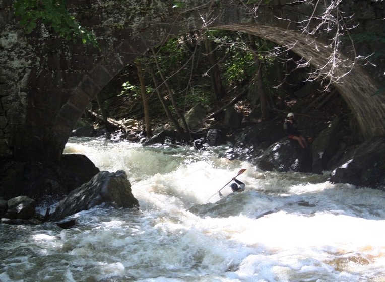
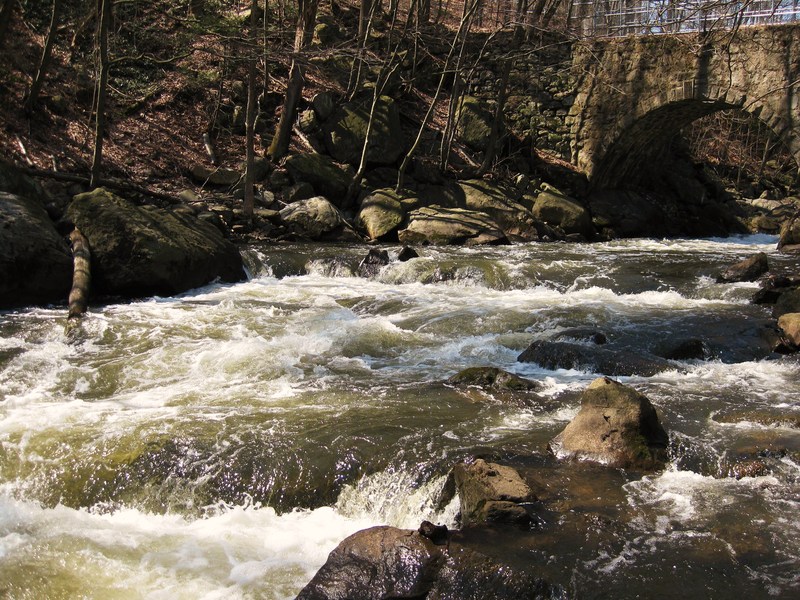
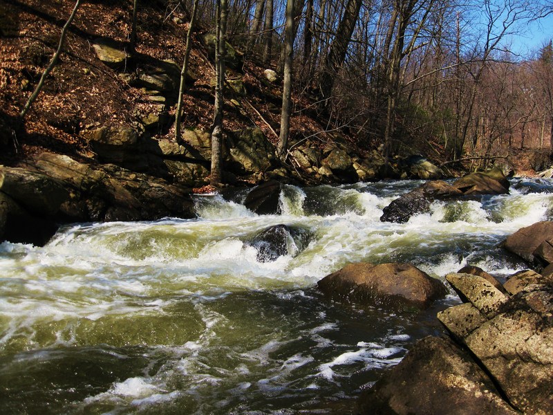
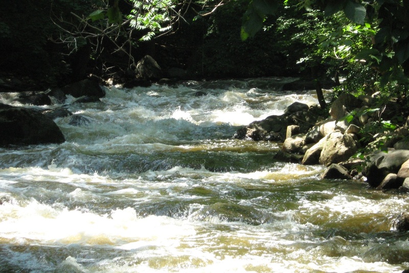
The section from Rt. 287 to the Reservoir is fairly continuous and consists mostly of rapids formed by the large rocks dumped into the riverbed during the building of Rt. 287.
The gauge really needs to be above 3' to run this section cleanly. Above 4' is a better level.
When it's high (> 4.5') it's a fun flush with continuous class IV+ water and lots of waves/holes. Just don't flip.
When you're done, DON'T paddle onto the Reservoir or climb up the bank to the neighborhood above. Hike back up the path on river left, ferry across and hike back to you r car under 287 on river right. Popping up into that neighborhood with your boat will only cause more problems for you and the rest of us. Paddling onto the Res will likely get you a ticket (if you're lucky).
Location

Current Conditions
5-Day Forecast
American Whitewater