How's Your
River
×
Explore
Explore Map
Water Bodies
Gauges
Access Sites
Tidal Stations
Whitewater
Pricing
Login
Sign Up
Hazard Warning:
Hazard information may be user-submitted and unverified. Conditions change frequently. Always scout rapids and obstacles yourself.
Whitewater
New York
Oswegatchie, E. Branch - 3. Dam to Brown's Fall Road
Brown's Falls
Rapid
NY
Brown's Falls
Oswegatchie, E. Branch - 3. Dam to Brown's Fall Road (NY)
Monitor this Rapid
Water Body
This Run
Map
Other Rapids
Gauge
Weather
Directions
Gauge Conditions
West Branch Oswegatchie River near Harrisville NY
Downstream
Primary
Runnable: 900.0 – 2,200.0 CFS
Estimated
Data from
American Whitewater
&
USGS
Photo
Photo courtesy of
American Whitewater
Description
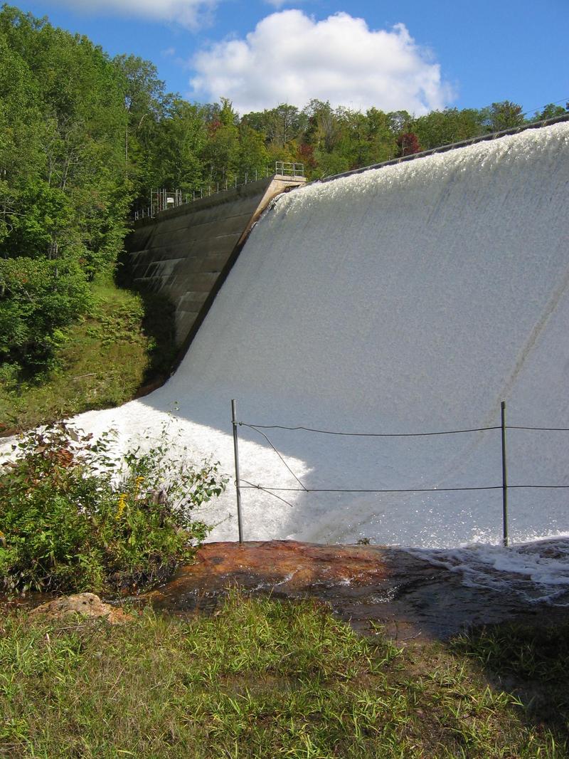
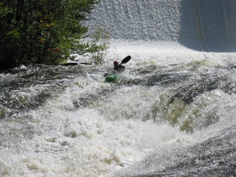
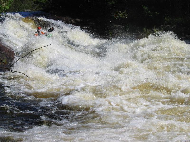
Brown Falls is the meatiest on this section. There may be a line to the far left but a mistake may drop you into a sieve filled with wood. In the main line the river narrows and drops quickly. Scout right.
Location
Radar
Counties
Cell
Verizon
AT&T
T-Mobile
Dark
Satellite
Terrain
Other Rapids on This Run (5)
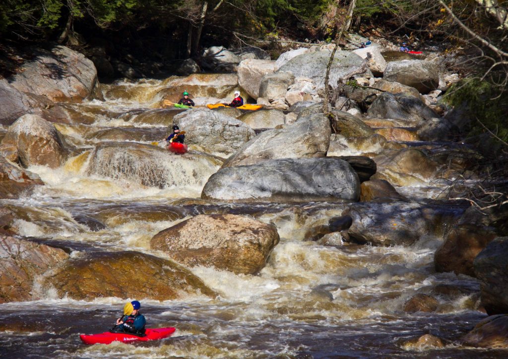
Portage
Put-in
0.0 mi
Rapid
Aqueduct Slide
0.1 mi
Rapid
Newton Falls
0.4 mi
Rapid
All Over
1.0 mi
Rapid
N/A
Take Out
1.2 mi
Type
Rapid
Mile Marker
0.8 mi
Directions
Navigate
View Full Run
3. Dam to Brown's Fall Road
Oswegatchie, E. Branch
IV-V
1.4 mi
Current Conditions
5-Day Forecast
Whitewater data from
American Whitewater
Brown's Falls