Gauge Conditions
Data from American Whitewater & USGS
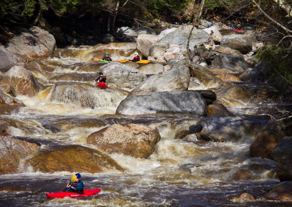
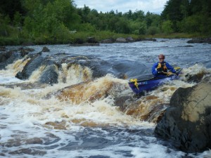
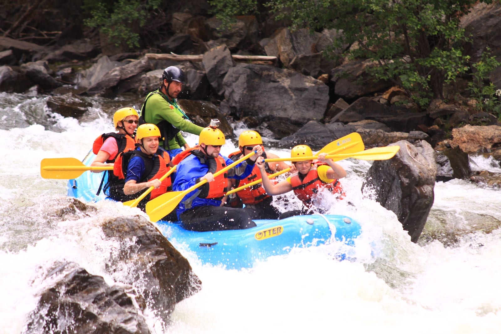
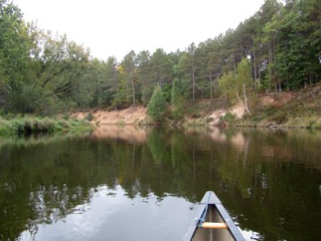
Photo
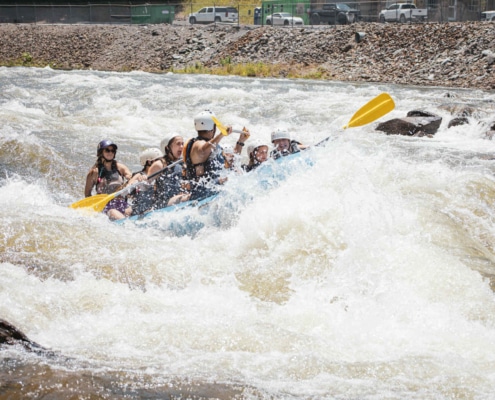
Photo courtesy of American Whitewater
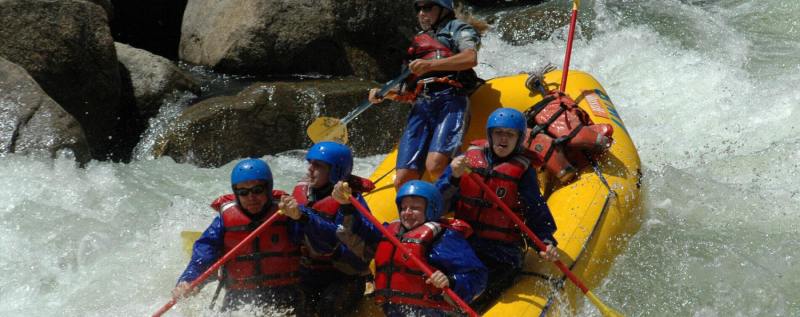
Description
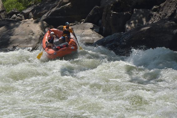
Boggs Creek flows into the Chestatee River just a tenth of a mile or so before the takeout. The bridge carrying a driveway over the creek just before the confluence could present a danger at high water levels.
Location
Other Rapids on This Run (16)
 Rapid
Rapid
Put-In
 Hazard
II
Hazard
II
Skini Mini
 Hazard
III
Hazard
III
Upper Gorge
 Hazard
III
Hazard
III
Branches Left
 Hazard
III+
Hazard
III+
Twisted Sister
 Hazard
II+
Hazard
II+
Middle Gorges
 Hazard
III
Hazard
III
Flat Rock
 Hazard
II
Hazard
II
Center Rock
 Hazard
II+
Hazard
II+
Three Rocks
 Hazard
III+
Hazard
III+
Right-N-Left
 Hazard
III+
Hazard
III+
Lower Gorge
 Hazard
II+
Hazard
II+
Logjam
 Hazard
No Fishing
 Rapid
Rapid
Highway 19/129 Bridge
 Hazard
II+
Hazard
II+
Hairpin
 Rapid
Rapid
Take-Out
View Full Run
USFS Campground to Turner's Corner
Boggs Creek
II-III+
2.3 mi
Hazard — Exercise extreme caution in this area.
Current Conditions
5-Day Forecast
Whitewater data from
American Whitewater
American Whitewater