Gauge Conditions
Data from American Whitewater & USGS
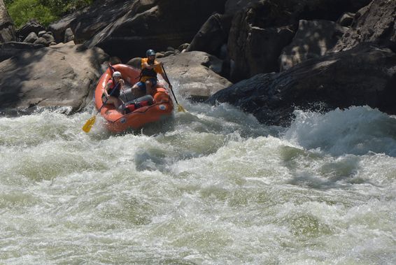
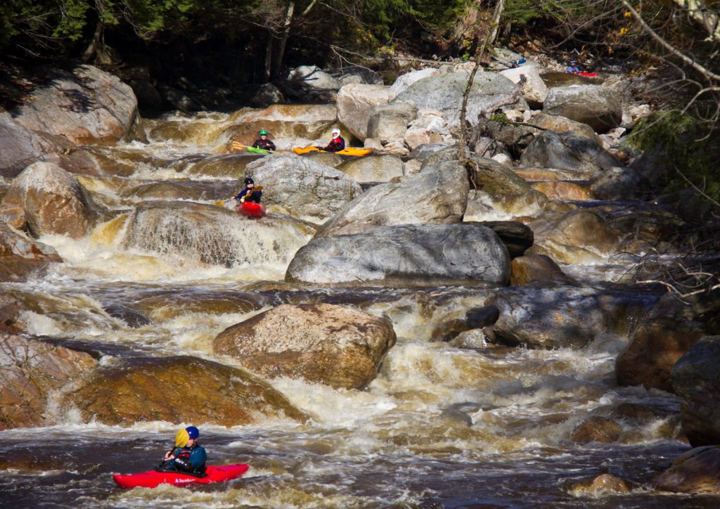
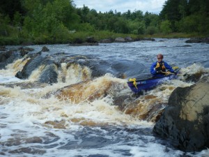
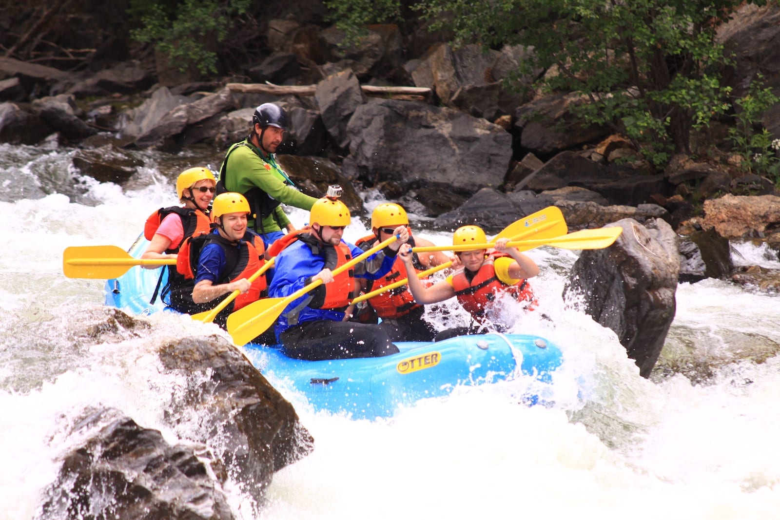
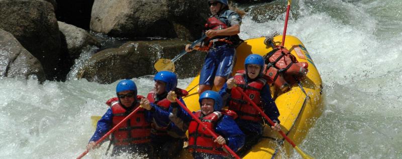
Photo
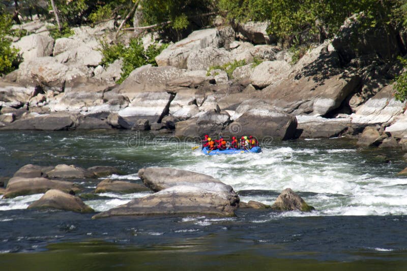
Photo courtesy of American Whitewater
Description
A series of hazards in rapid succession over about .2 mile. Just after a road (USFS 443-A) fords the creek is a 150 yard or so stretch with several visible rocks. After the Right curve, the creek is constrained by a boulder on river left leaving two options: a narrow, shallow channel river left or a small drop and quick turn channel to the right.
The area between Right and Left is clogged with rocks, branches and two large trees completely spanning the creek. Depending on how much you want to avoid, short portages are available on either bank. If you want to portage the entire straightaway and Left curve, best option may be the road (but access back to creek is not easy).
Just after Left curve, a large rock on river right pushes the water river left, which also has a lot of overhanging branches.
Location
Other Rapids on This Run (16)
 Rapid
Rapid
Put-In
 Hazard
III
Hazard
III
Upper Gorge
 Hazard
II
Hazard
II
Skini Mini
 Hazard
III
Hazard
III
Branches Left
 Hazard
III+
Hazard
III+
Twisted Sister
 Hazard
II+
Hazard
II+
Middle Gorges
 Hazard
III
Hazard
III
Flat Rock
 Hazard
II
Hazard
II
Center Rock
 Hazard
II+
Hazard
II+
Three Rocks
 Hazard
III+
Hazard
III+
Lower Gorge
 Hazard
II+
Hazard
II+
Logjam
 Hazard
No Fishing
 Rapid
Rapid
Highway 19/129 Bridge
 Hazard
II+
Hazard
II+
Hairpin
 Hazard
Chestatee River
 Rapid
Rapid
Take-Out
View Full Run
USFS Campground to Turner's Corner
Boggs Creek
II-III+
2.3 mi
Hazard — Exercise extreme caution in this area.
Current Conditions
5-Day Forecast
Whitewater data from
American Whitewater
American Whitewater