Gauge Conditions
Approximate - nearest available gauge. Use as general reference only.
Photo
Description
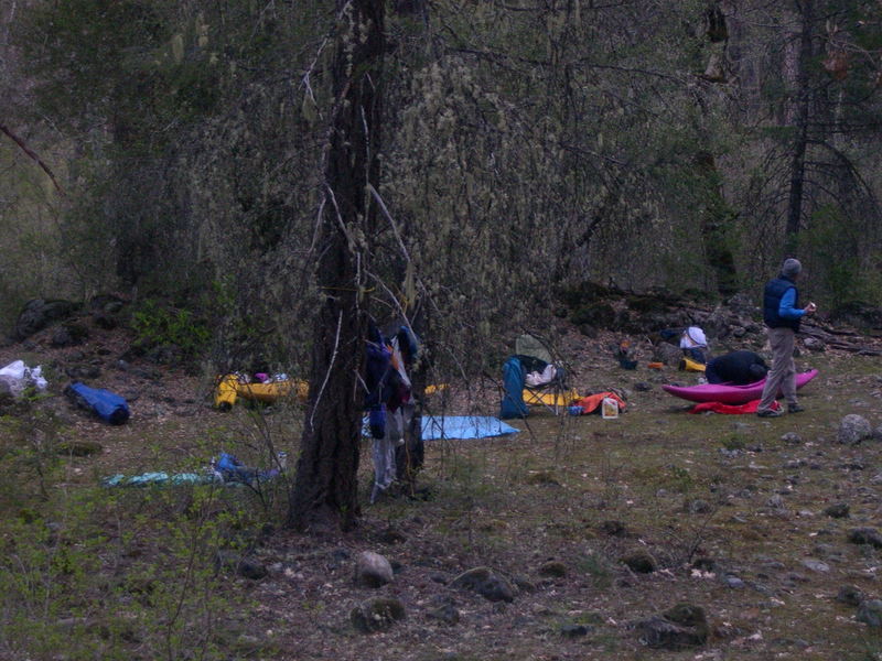
While much of the McCloud River shoreline is in private ownership, legal camping is available on a parcel of Forest Service-managed public land at the mouth of Claiborne Creek. It is easily found because the camping spot is approximately 200-250 yards below the vehicle bridge at the McCloud River Club's private compound. Claiborne Creek, a sizable tributary approximately 20 feet wide, comes in on river left. Pull into the mouth and take the short path up to the grassy bench on creek left. The camping area is on the downstream side of the creek, up on a level bench. You will find a well-worn foot path above the camp on public land, constructed by McCloud River Club connecting their land on either side of the public land. They also have a little foot bridge over Claiborne Creek, that is probably on Forest Service land. The upstream (along McCloud) boundary of public land is just on the other side of Claiborne Creek. McCloud River Club's full-time caretaker will come visit you. Be polite but firm in your knowledge that this is your public land that you are camping on. Bid him a nice day, and ask if he could spare some extra G&Ts or beer (it has worked before). ;-)~
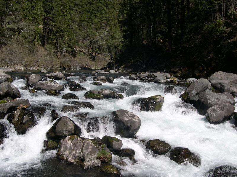
The river right side of the McCloud River holds the brass cap, surveyed, corner monument of the Forest Service land and marking a sizable triangle-shaped portion of the public land on river right. The scribing on the cap shows the approximate (very close) orientation of the two diverging boundary lines extending away from the corner cap and crossing the river. We recommend that paddlers do not camp on river right of the McCloud River at this location. A McCloud River Club"'No Trespassing" sign is posted about 100 feet on the Forest Service side of the property line. This large flat is easily accessible by McCloud River Club vehicles from their nearby road and any extended boater visit could become unnecessarily contentious.
Location
Other Rapids on This Run (15)
 Portage
IV+
Portage
IV+
Current Conditions
5-Day Forecast
American Whitewater