Gauge Conditions
Data from American Whitewater & USGS
Description
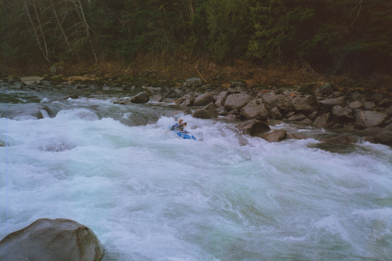
The confluence where the North Fork joins the South Fork to form the Main Skykomish River. Trips can begin on either the North Fork or South Fork although the South Fork has traditionally begin on the South Fork. This site can also be used as an access point with an informal pull out and social trail down to the river on the downstream river left side of the Highway 2 Bridge across the South Fork and immediately upstream of the confluence.
Location
Other Rapids on This Run (11)
![Sunset Falls - Put-in [closed to public]](https://howsyourriver.s3.amazonaws.com/images/rapids/888670.jpg) Waterfall
Waterfall
Sunset Falls - Put-in [closed to public]
![Cable Drop Access [Forest Service]](https://howsyourriver.s3.amazonaws.com/images/rapids/885209.jpg) Rapid
Rapid
Cable Drop Access [Forest Service]
 Rapid
III+
Rapid
III+
Cable Drop Rapid (aka Powerline)
 Rapid
III
Rapid
III
Maze (aka Garbage)
Rapid
III
Anderson Hole
 Rapid
IV
Rapid
IV
Boulder Drop
 Rapid
III
Rapid
III
Lunch Hole
Rapid
III
Aguagasm
Rapid
III
Last Wave - play wave at Split Rock
Rapid
N/A
Split Rock - Access [Private]
Rapid
Railroad Bridge Access
View Full Run
1 - Index (Sunset Falls) to Split Rock
Skykomish
III+(IV)
4.4 mi
Current Conditions
5-Day Forecast
Whitewater data from
American Whitewater
American Whitewater