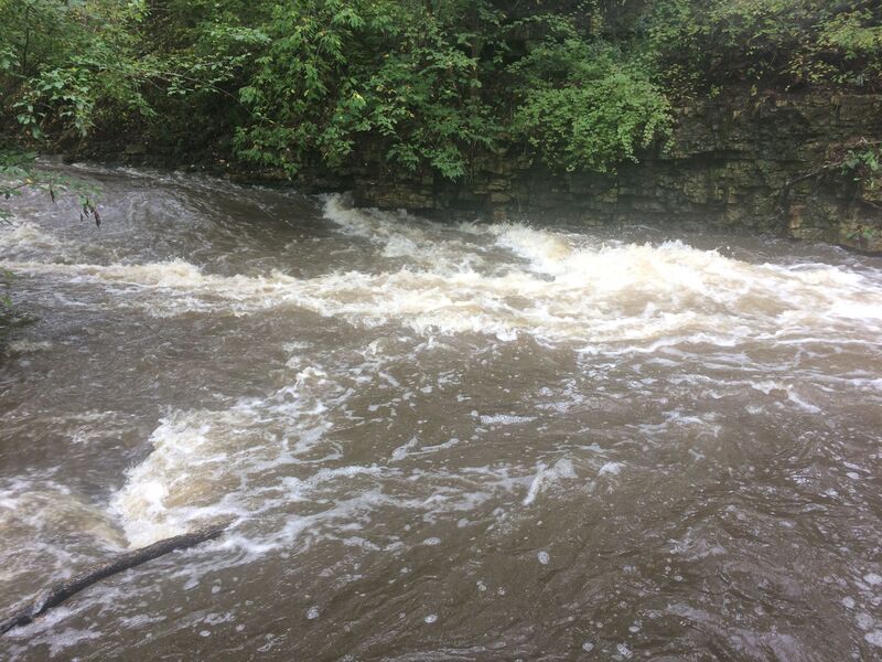
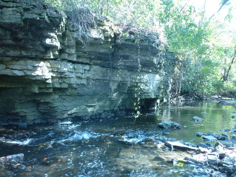
Confluence Shoals
Menomonee - A) *2025.09.23 WOOD UPDATE* MenFalls: Main Street to Arthur Ave (0.4 mile) (WI)
Gauge Conditions
Bang and scrape (too low to call whitewater).
Photo

Description
A small side stream flows in from the right. Gradient on the run has significantly diminished by this point. The water no longer has the force to carry as much rocky debris, so a rocky shoals has built up just before this confluence.
Boaters may opt to shorten the run (and the carry) by taking out upstream of this creek, walking out on a dirt/mud path (parallel to the side-stream, not the river), then up the paved path to the put-in/parking area. Otherwise, swiftwater continues downstream to Arthur Avenue (the listed bridge take-out). This allows you to skip the muddy path, having all paved path to carry back to the put-in/parking area.
While doing your pre-run scouting, when you get down to this confluence, you should be able to see most of the way down the final stretch. The banks are a little lower, and the gradient is less, so if it all looks clear, you can probably get to the take-out (or be able to get out if something blocks passage before the take-out).
Location
Other Rapids on This Run (13)
 Playspot
II+
Playspot
II+
 Playspot
II+
Playspot
II+
 Hazard
II+
Hazard
II+
 Waterfall
III
Waterfall
III
 Hazard
N/A
Hazard
N/A
 Hazard
II
Hazard
II
Current Conditions
5-Day Forecast
American Whitewater