Pilgrim Road (USGS Gauge Location)
Menomonee - A) *2025.09.23 WOOD UPDATE* MenFalls: Main Street to Arthur Ave (0.4 mile) (WI)
Gauge Conditions
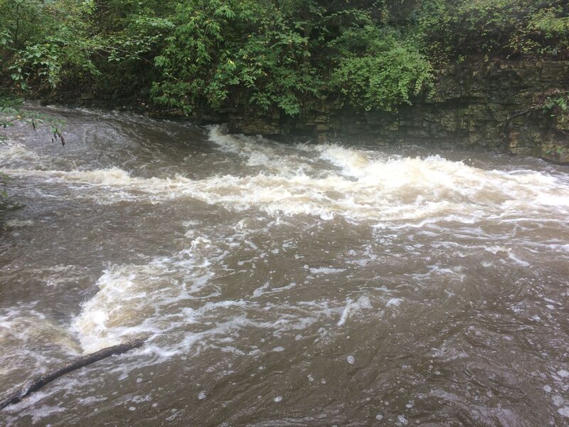
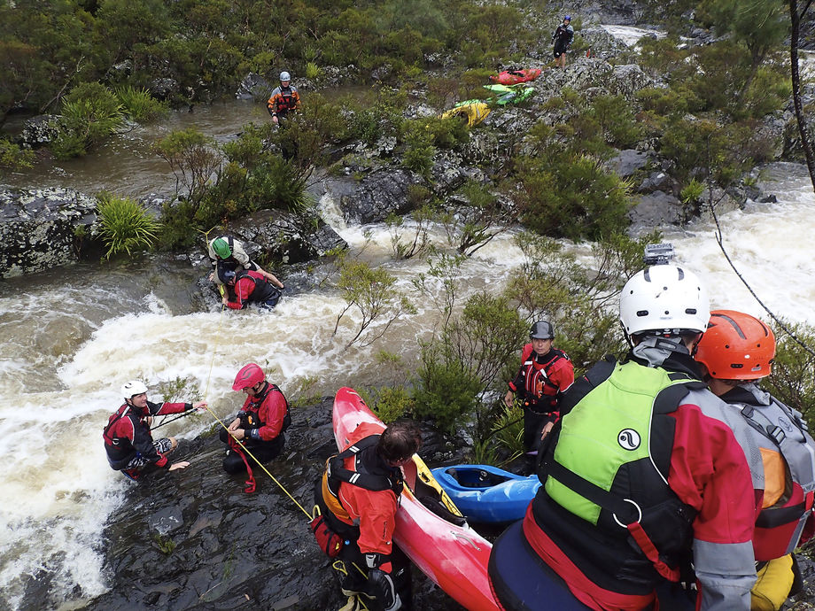
Bang and scrape (too low to call whitewater).
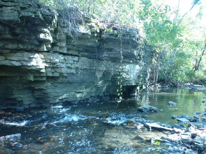
Description
Folks might wonder, "Why not keep going?" "What's downriver?" It is possible to double the length of the run by continuing to Pilgrim road, to take out at river-left where there's parking for a ball field.
The additional 0.4 mile is a continuation and gradual diminishing of the type of gradient (swiftwater, riffles and shoals) as from the tributary/confluence to the listed take-out. As a result, most whitewater paddlers will use the listed take-out, getting the best action, and having the shortest walk as their shuttle. (Continuing down to here is likely only if you set a vehicle shuttle, or need to chase errant gear if someone has an out-of-boat experience.)
After Pilgrim Road, the river is flat and flowing, with little-to-no natural rapids until the next listed section (MenWesTosa).
Location
Other Rapids on This Run (13)
 Playspot
II+
Playspot
II+
 Playspot
II+
Playspot
II+
 Hazard
II+
Hazard
II+
 Waterfall
III
Waterfall
III
 Hazard
N/A
Hazard
N/A
 Hazard
II
Hazard
II
 Hazard
I
Hazard
I
Current Conditions
5-Day Forecast
American Whitewater