Rapid
MI
Confluence with Baltimore River
Ontonagon, M.Br. - C) below Agate Falls (Hwy.28) to Hwy.45 (28.7 miles) (MI)
Gauge Conditions
Runnable: ? – ? CFS
Approximate - nearest available gauge. Use as general reference only.
Data from American Whitewater & USGS
Photo
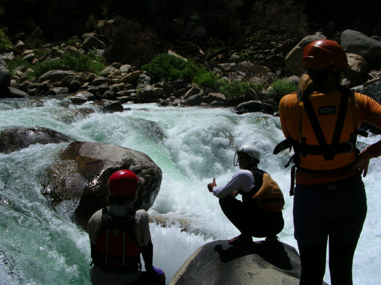
Photo courtesy of American Whitewater
Description
At the confluence with the Baltimore River, the Middle Branch Ontonagon River presents a complex merging of flows that can create unpredictable hydraulics and potential swirling currents. Paddlers should carefully assess water levels and be prepared for potential debris or shifting channels at this intersection point, as the confluence can introduce unexpected turbulence and navigation challenges.
Location
Other Rapids on This Run (20)
Rapid
N/A
USGS samping site
Rapid
N/A
Hwy.28 Wayside
 Waterfall
N/A
Waterfall
N/A
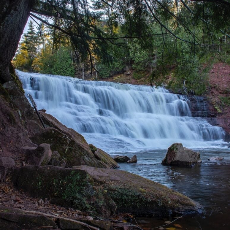
Agate Falls
 Rapid
N/A
Rapid
N/A
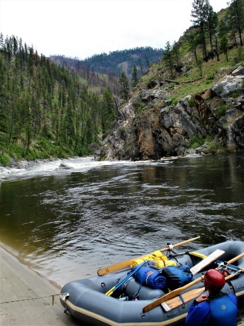
Put In
Rapid
N/A
Log Jam
Rapid
II+
Wave/hole
 Rapid
N/A
Rapid
N/A
Confluence, Payne Creek
Rapid
N/A
Ledge/wave?
 Rapid
N/A
Rapid
N/A
Confluence, Tom Creek
Rapid
N/A
Log Jam 2 / Meto Creek
Rapid
N/A
Possible access/egress?
Rapid
N/A
Log Jam Concern #3
Rapid
N/A
Log Jam Concern #4
Rapid
N/A
Log Jam Concern #5
Rapid
N/A
Confluence Trout Creek
Rapid
N/A
Powerline Clearing
Rapid
N/A
Rapids
Rapid
N/A
Possible/apparent set of ledges/waves/holes
 Rapid
N/A
Rapid
N/A
Apparent rapids
 Rapid
N/A
Rapid
N/A
Confluence, Longtime Creek
View Full Run
C) below Agate Falls (Hwy.28) to Hwy.45 (28.7 miles)
Ontonagon, M.Br.
I-III
25.7 mi
Current Conditions
5-Day Forecast
Whitewater data from
American Whitewater
American Whitewater