Rapid
MI
Confluence with M.Br.Ontonagon
Baltimore - Hwy.45 to M Br Ontonagon to Hwy.45 (5.9 + 3.3 miles) (MI)
Gauge Conditions
Runnable: ? – ? CFS
Approximate - nearest available gauge. Use as general reference only.
Data from American Whitewater & USGS
Photo

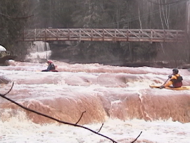
Photo courtesy of American Whitewater
Description
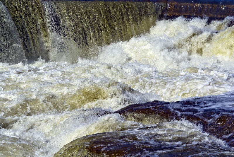
At the confluence of the Baltimore River and Middle Branch Ontonagon, paddlers encounter a complex merging of waters with potential shifting currents and submerged debris. The transition zone requires careful navigation and awareness of potential hydraulic features created by the converging river channels. Precise line selection and situational awareness are critical in this section to safely manage potential flow variations and hidden obstacles.
Location
Other Rapids on This Run (11)


View Full Run
Hwy.45 to M Br Ontonagon to Hwy.45 (5.9 + 3.3 miles)
Baltimore
III-IV+
8.5 mi
Current Conditions
5-Day Forecast
Whitewater data from
American Whitewater
American Whitewater