Mass Has Ended
Baltimore - Hwy.45 to M Br Ontonagon to Hwy.45 (5.9 + 3.3 miles) (MI)
Gauge Conditions
Approximate - nearest available gauge. Use as general reference only.
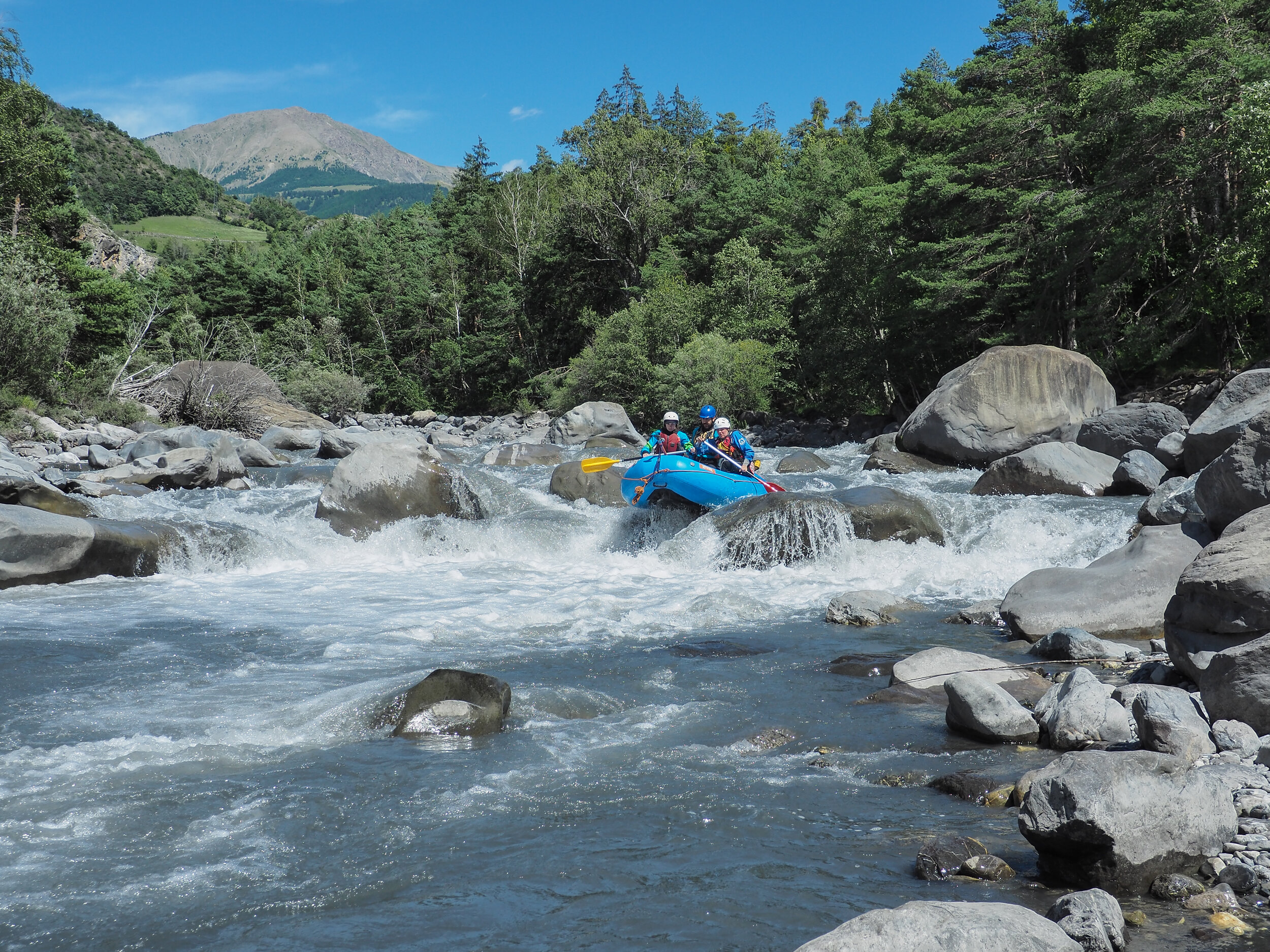
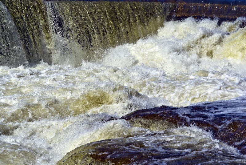
Photo
Description
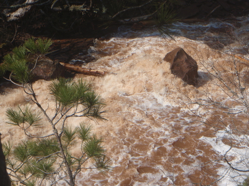
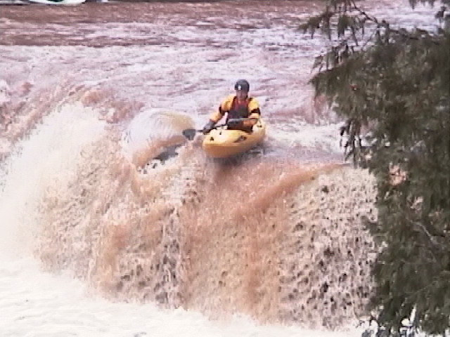
The river continues its slick-rock class II-III rapids until you take a sharp jig/jog and see remains of a defunct swinging footbridge. Take out river right at the footbridge foundations for a mandatory scout. The canyon below is an awesome spectacle. This is the most challenging section of the river, class IV+ at lower flows pushing into class V when higher. Boulders and shorelines are undercut! (Generally undercuts are scarce in the Midwest, but abound on this stretch.) It starts with low angle slide sequences, gradually steepening as the rapids continues. The crux comes with a medium angle slide of about 15' just above where the river makes a hard turn right. The river is deflected hard right with an inconvenient boulder on the outside of the bend, then drops off another, slightly steeper slide of about 12' ("The Mass Has Ended"). Scout this whole drop for wood in crux locations before thinking about boating it.
Location
Other Rapids on This Run (11)
 Rapid
N/A
Rapid
N/A
 Rapid
N/A
Rapid
N/A
 Rapid
N/A
Rapid
N/A
 Waterfall
III+
Waterfall
III+
 Waterfall
IV
Waterfall
IV
 Rapid
II+
Rapid
II+
 Waterfall
III+
Waterfall
III+
 Rapid
II+
Rapid
II+
 Rapid
N/A
Rapid
N/A
 Rapid
N/A
Rapid
N/A
Current Conditions
5-Day Forecast
American Whitewater