Gauge Conditions
Runnable: ? – ? CFS
Approximate - nearest available gauge. Use as general reference only.
Data from American Whitewater & USGS
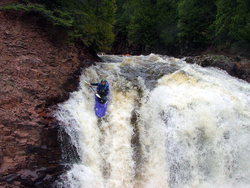
Photo
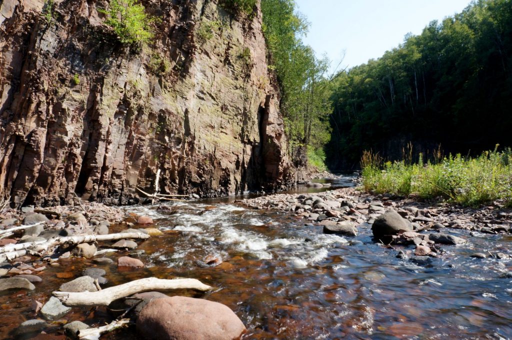
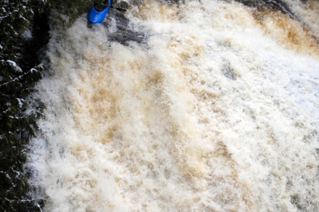
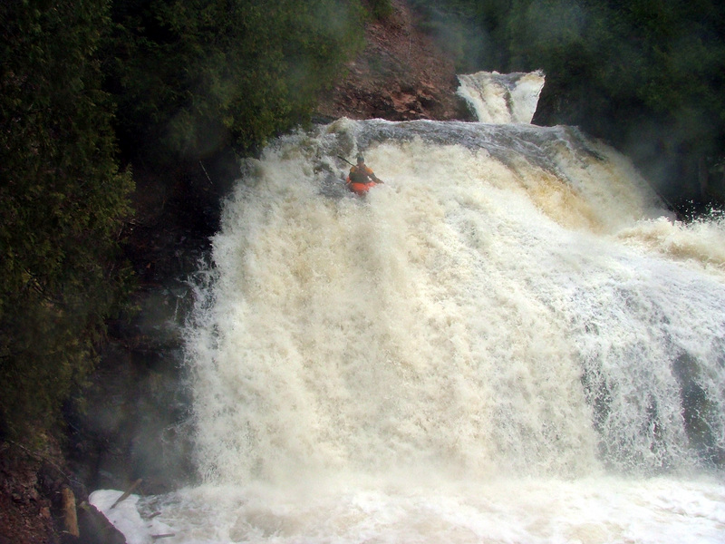
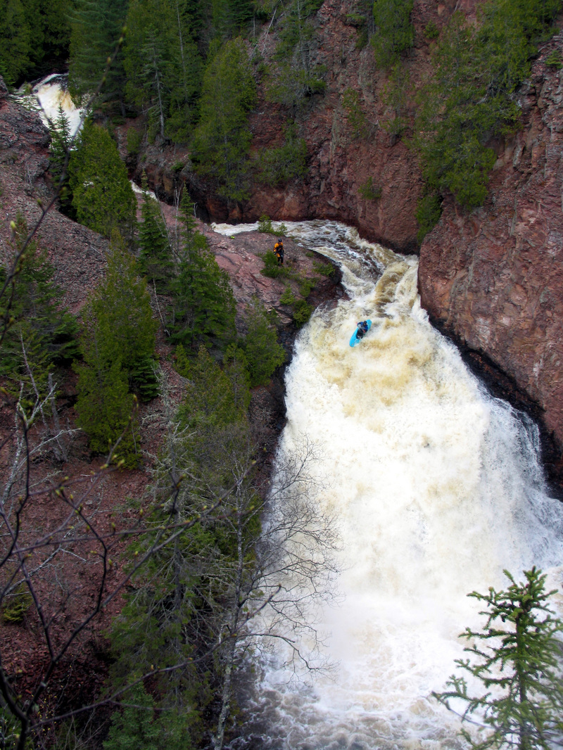
Photo courtesy of American Whitewater
Description
The Confluence rapid marks where Woods Creek joins the Devil Track River, creating a complex hydraulic environment with potential for swirling currents and unexpected water movement. Paddlers should carefully scout this section, as the merging flows can create unpredictable cross-currents and potential debris obstacles that could compromise boat control and line selection.
Location


View Full Run
B) Maple Hill to Lake Superior (5.4 miles)
Devil Track
II-V
4.5 mi
Current Conditions
5-Day Forecast
Whitewater data from
American Whitewater
American Whitewater