Gauge Conditions
Runnable: ? – ? CFS
Approximate - nearest available gauge. Use as general reference only.
Data from American Whitewater & USGS
Photo

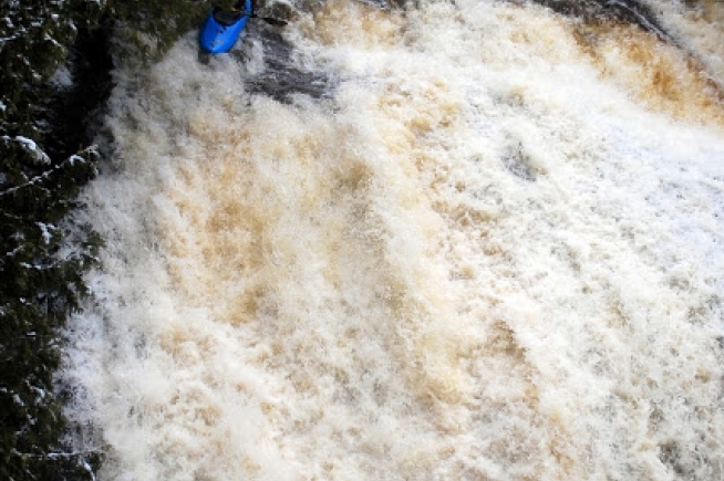
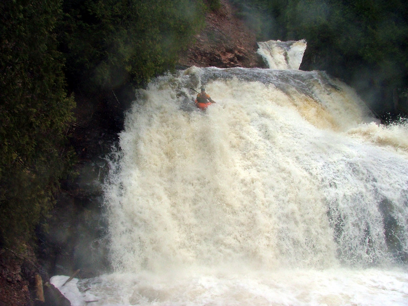
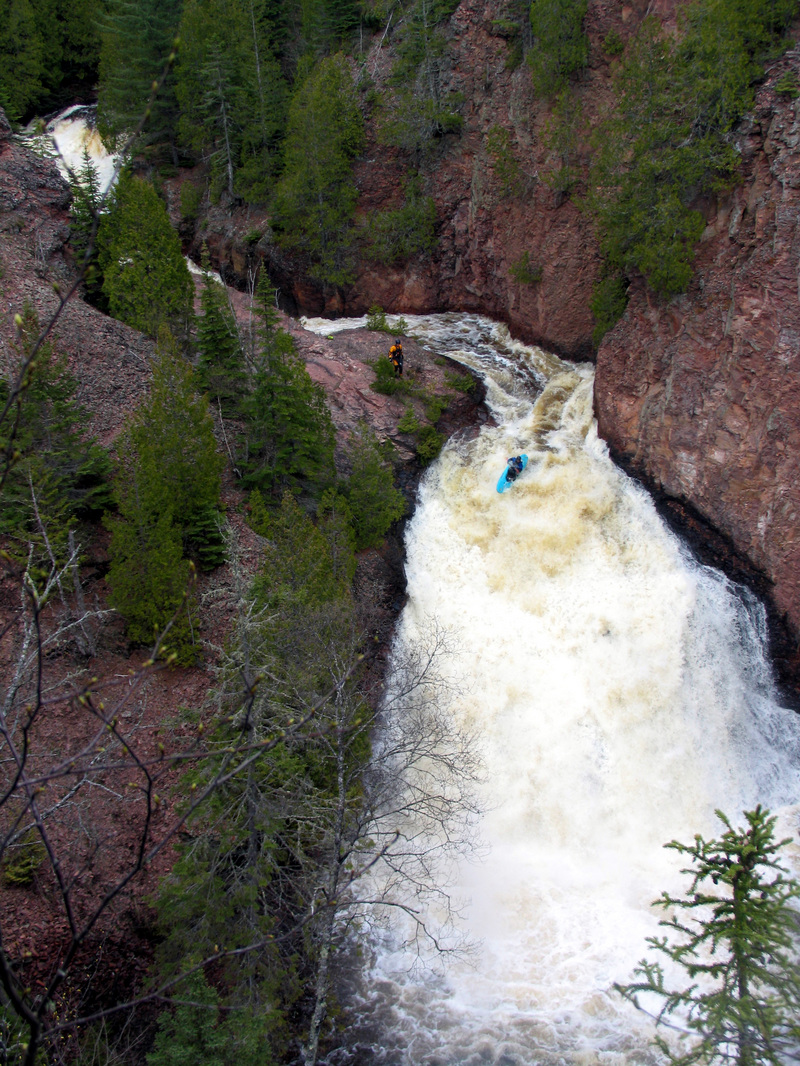
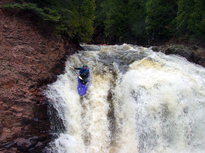
Photo courtesy of American Whitewater
Description
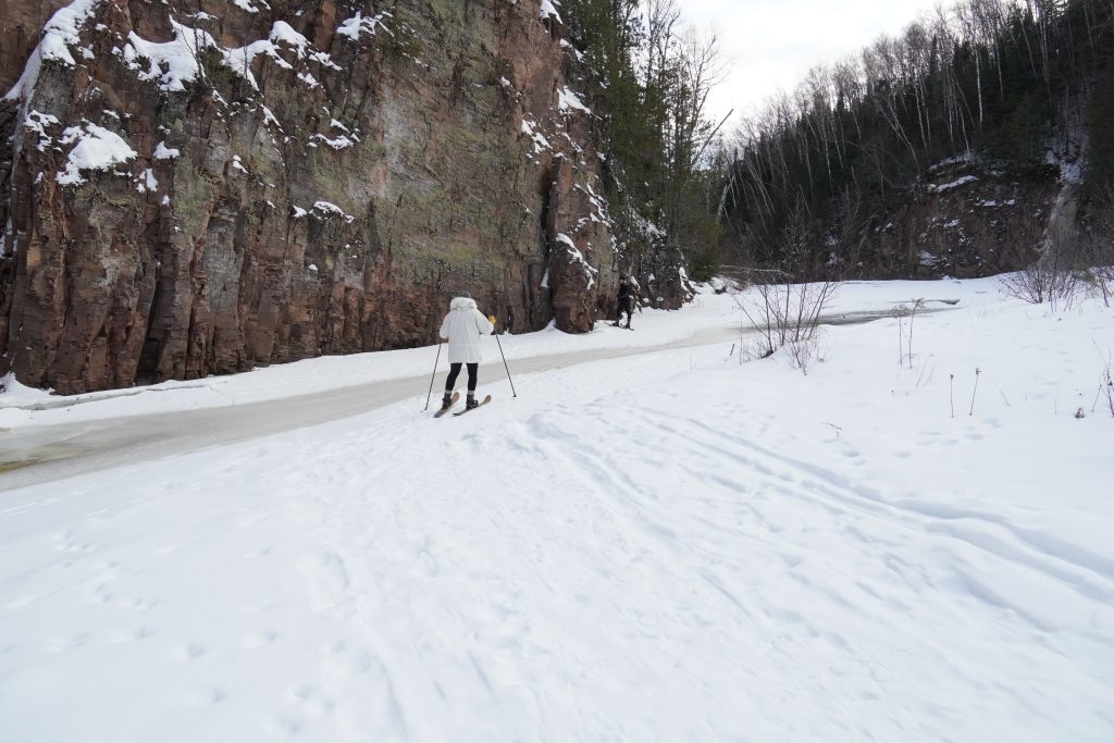
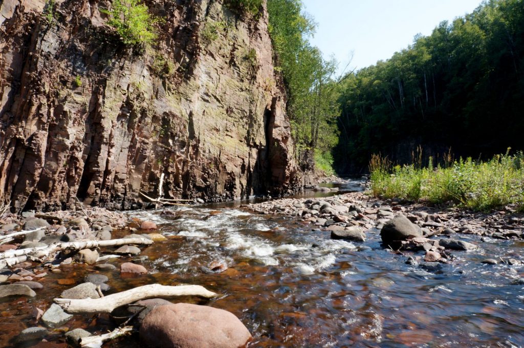
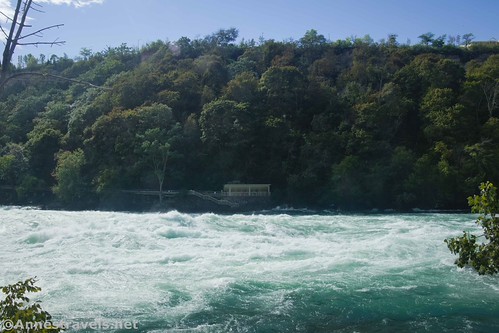
Take Out marks the final descent before Lake Superior, characterized by a swift, unobstructed runout that signals the end of the Devil Track River's technical section. While not a highly challenging rapid itself, paddlers should be prepared for potential debris and rapidly changing water conditions as the river transitions into the lake environment.
Location
Other Rapids on This Run (11)


View Full Run
B) Maple Hill to Lake Superior (5.4 miles)
Devil Track
II-V
4.5 mi
Current Conditions
5-Day Forecast
Whitewater data from
American Whitewater
American Whitewater