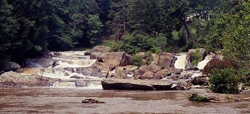
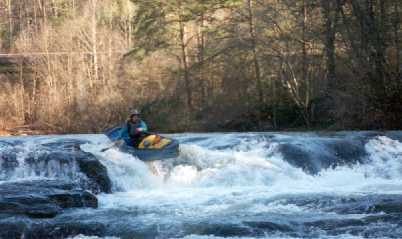
How's Your
River
×
Explore
Explore Map
Water Bodies
Gauges
Access Sites
Tidal Stations
Whitewater
Pricing
Login
Sign Up
Hazard Warning:
Hazard information may be user-submitted and unverified. Conditions change frequently. Always scout rapids and obstacles yourself.
Whitewater
Georgia
Chestatee - 2 - Town Creek Church Bridge (a/k/a Garnett Bridge) to Copper Mine
Copper Mine dam
Hazard
GA
Class I
Copper Mine dam
Chestatee - 2 - Town Creek Church Bridge (a/k/a Garnett Bridge) to Copper Mine (GA)
Monitor this Rapid
Water Body
This Run
Map
Other Rapids
Gauge
Weather
Directions
Gauge Conditions
Chestatee River near Dahlonega, GA
Downstream
Primary
Runnable: 600.0 – 20,000.0 CFS
Data from
American Whitewater
&
USGS
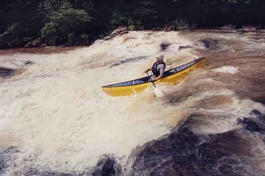
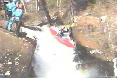
Description
Remnant of an old, collapsed dam, now only about two feet high. Several lines, depending on water level: the largest and easiest is to the left of center.
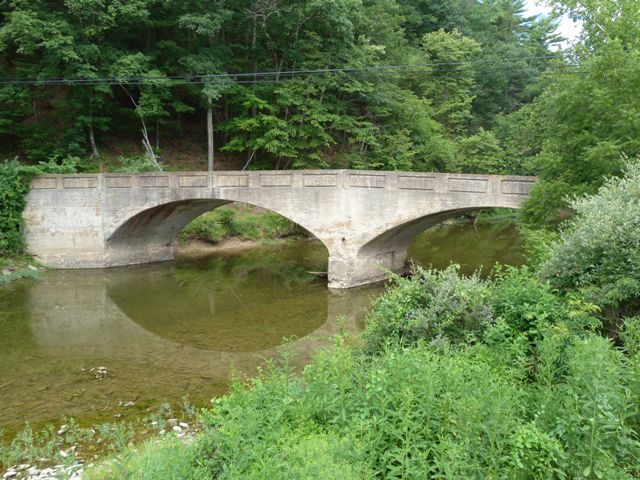
Location
Radar
Counties
Cell
Verizon
AT&T
T-Mobile
Dark
Satellite
Terrain
Other Rapids on This Run (6)
Hazard
II
Town Creek Church Bridge (a/k/a Garnett Bridge)
0.0 mi
Hazard
III
Slide above Grindle
2.3 mi
Waterfall
V
Grindle Falls
2.3 mi
Hazard
III
Slides below Grindle Falls
2.4 mi
Rapid
I
Flatwater
2.4 mi
Hazard
III+
Copper Mine rapid
3.8 mi
Type
Hazard
Difficulty
Class I
Mile Marker
3.8 mi
Directions
Navigate
View Full Run
2 - Town Creek Church Bridge (a/k/a Garnett Bridge) to Copper Mine
Chestatee
II-V
3.8 mi
Hazard
— Exercise extreme caution in this area.
Current Conditions
5-Day Forecast
Whitewater data from
American Whitewater
Copper Mine dam