How's Your
River
×
Explore
Explore Map
Water Bodies
Gauges
Access Sites
Tidal Stations
Whitewater
Pricing
Login
Sign Up
Hazard Warning:
Hazard information may be user-submitted and unverified. Conditions change frequently. Always scout rapids and obstacles yourself.
Whitewater
Georgia
Chestatee - 2 - Town Creek Church Bridge (a/k/a Garnett Bridge) to Copper Mine
Town Creek Church Bridge (a/k/a Garnett Bridge)
Hazard
GA
Class II
Town Creek Church Bridge (a/k/a Garnett Bridge)
Chestatee - 2 - Town Creek Church Bridge (a/k/a Garnett Bridge) to Copper Mine (GA)
Monitor this Rapid
Water Body
This Run
Map
Other Rapids
Gauge
Weather
Directions
Gauge Conditions
Chestatee River near Dahlonega, GA
Downstream
Primary
Runnable: 600.0 – 20,000.0 CFS
Data from
American Whitewater
&
USGS
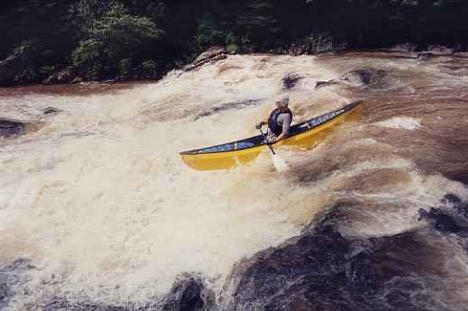
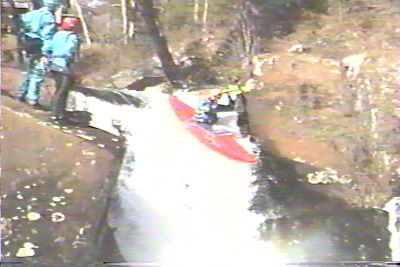
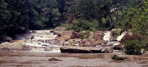
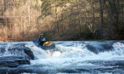
Photo
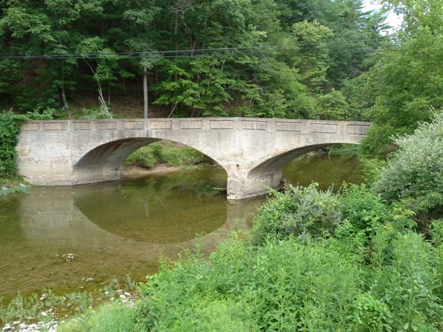
Photo courtesy of
American Whitewater
Description
Easiest carry down the hill is via the concrete drainage channel starting right at the parking area. Put in either above or below the Class II-II+ rapid beneath the bridge. At higher water levels, the rapid is a small playspot.
Location
Radar
Counties
Cell
Verizon
AT&T
T-Mobile
Dark
Satellite
Terrain
Other Rapids on This Run (6)
Hazard
III
Slide above Grindle
2.3 mi
Waterfall
V
Grindle Falls
2.3 mi
Hazard
III
Slides below Grindle Falls
2.4 mi
Rapid
I
Flatwater
2.4 mi
Hazard
I
Copper Mine dam
3.8 mi
Hazard
III+
Copper Mine rapid
3.8 mi
Type
Hazard
Difficulty
Class II
Mile Marker
0.0 mi
Directions
Navigate
View Full Run
2 - Town Creek Church Bridge (a/k/a Garnett Bridge) to Copper Mine
Chestatee
II-V
3.8 mi
Hazard
— Exercise extreme caution in this area.
Current Conditions
5-Day Forecast
Whitewater data from
American Whitewater
Town Creek Church Bridge (a/k/a Garnett Bridge)