Gauge Conditions
Approximate - nearest available gauge. Use as general reference only.
CDEC Flow Data California
Photo
Description
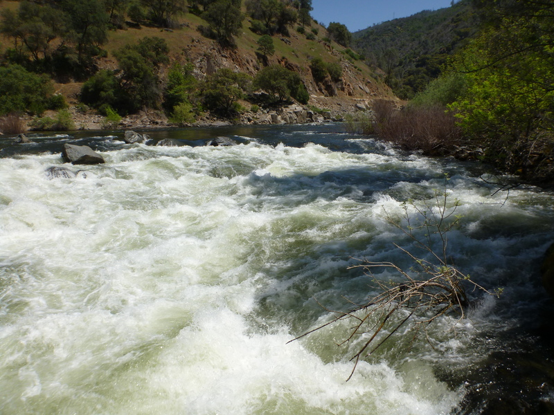
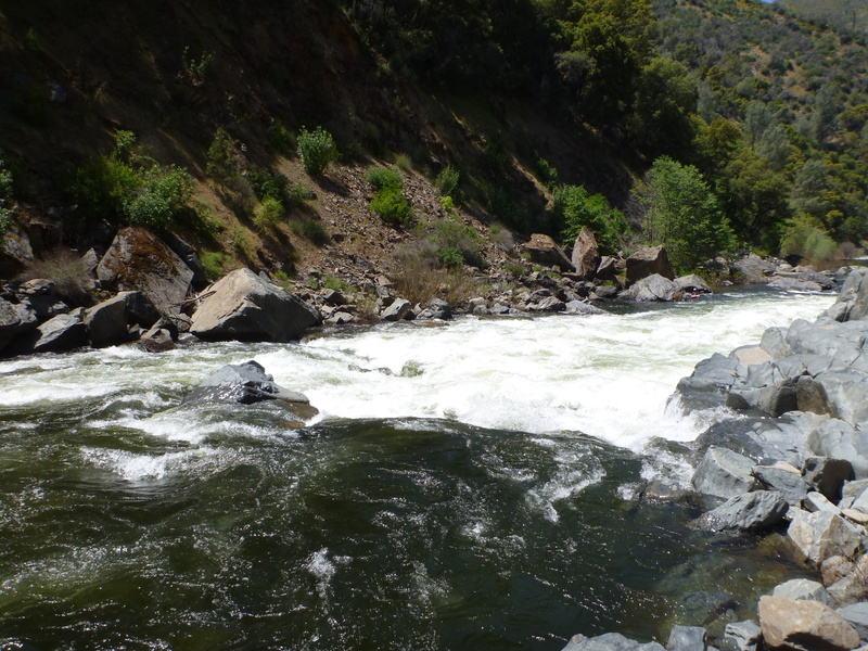
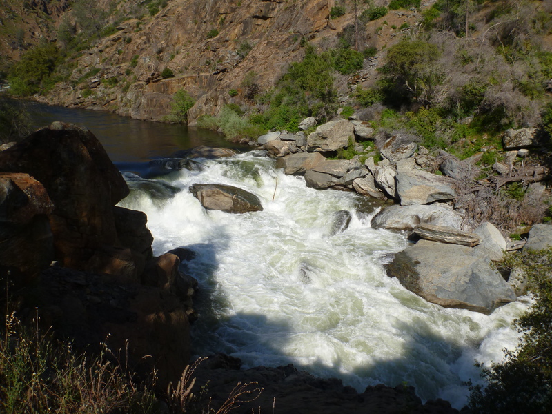
Corner Pocket can be scouted and portaged at the campground on river right, McCabe Flat. It is a rocky angular pore-over several feet tall, at the bottom of a rocky lead-in. If one enters or gets pushed too far to the left, you end up in the Corner Pocket at the bottom, river left. The first time I saw this feature, I watched six kayaks follow into this like lemmings. All six ended up swimming out, with the boats tumbling in the pocket for later retrieval. The current below the pore-over splits, and the left flow goes up against a flat wall that forms a very strong recirculating eddy. Bank access on this side is not as easy as it could be, and like everything else along this reach, infested with poison oak.
It is common to take out at the campground immediately below Corner Pocket.
Location
Other Rapids on This Run (11)
 Rapid
N/A
Rapid
N/A
 Rapid
IV
Rapid
IV
 Rapid
IV
Rapid
IV
 Hazard
VI
Hazard
VI
 Hazard
N/A
Hazard
N/A
 Rapid
N/A
Rapid
N/A
Current Conditions
5-Day Forecast
American Whitewater