Gauge Conditions
Approximate - nearest available gauge. Use as general reference only.
CDEC Flow Data California
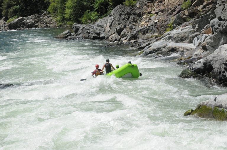
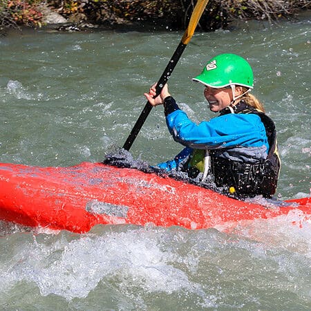
Photo
Description
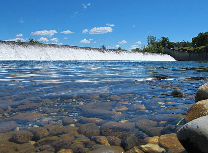
The turbulant reversal below this dangerous dam is a keeper and will not release swimmers. It has claimed the lives of several boaters or floaters who have been swept over the dam.
The dam can be easily portaged on river left, so stay towards the left side as you get near. Take out a safe distance above the dam. The Army Corp has placed large warning signs 500 feet upstream of the dam. You are supposed to take out at least 500 feet upstream of the dam.
If you find yourself on the right side of the dam it can also be portaged on river right from further upstream. There is a strong diversion outflow marked with a boom on the right side of the dam. Take out upstream of this diversion if you should end up on this side.
Location
Other Rapids on This Run (3)
Current Conditions
5-Day Forecast
American Whitewater