Gauge Conditions
Runnable: ? – ? CFS
Approximate - nearest available gauge. Use as general reference only.
Data from American Whitewater & USGS
CDEC Flow Data California
Data from California Data Exchange Center (CDEC)
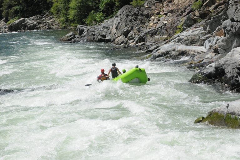
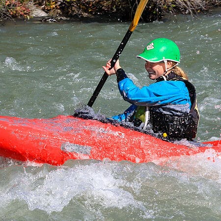
Photo
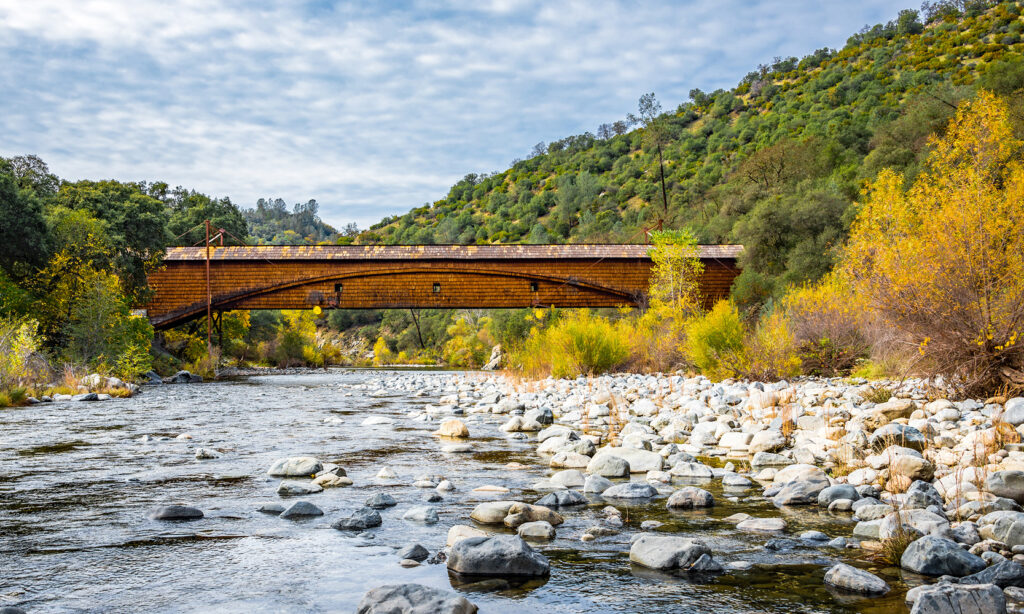
Photo courtesy of American Whitewater
Description
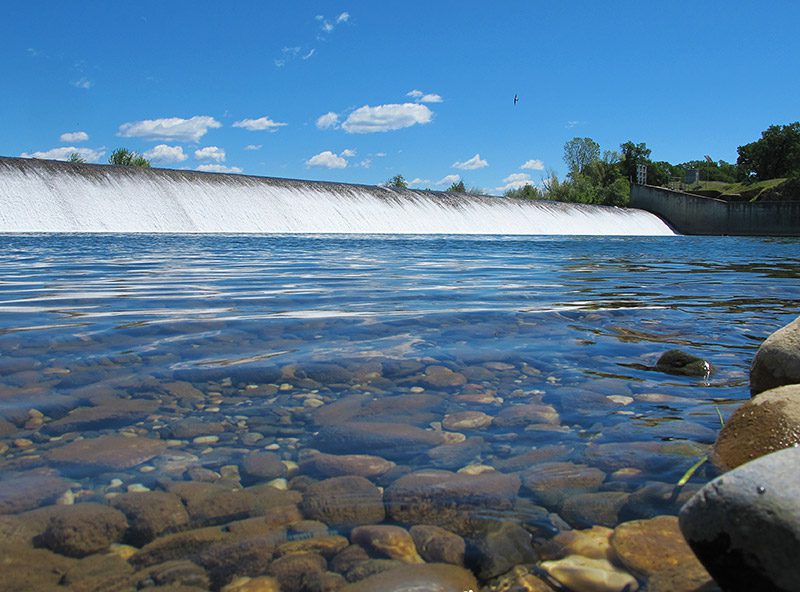
Take Out is the final rapid of this Yuba River section, marking the end of the run with a straightforward exit point near Highway 20. While specifics are limited, paddlers should be prepared for potential debris or variable water levels that could impact the takeout location and approach.
Location
Other Rapids on This Run (3)
View Full Run
2. Highway 20 to Marysville
Yuba
I
17.4 mi
Current Conditions
5-Day Forecast
Whitewater data from
American Whitewater
American Whitewater