Gauge Conditions
Runnable: 400.0 – 3,000.0 CFS
Maximum is a guess.
Data from American Whitewater & USGS
Photo
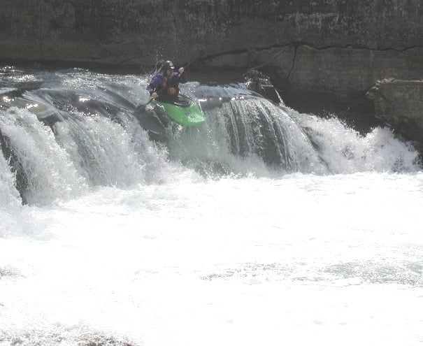
Photo courtesy of American Whitewater
Description
The Dam is located about two-thirds of the way down this run. You will see the horizon line after a long flat pool. You can run the Dam on the far left which is about a 7 ft drop or on the far right which is scrapy slide drop of about 5 ft. You can also bang down the overflow channel on the right if its not blocked by debris.
There is currently a large tree blocking the left side of the dam which has revealed that the ledge is badly eroded and undercut. It almost looks man made but either way its definitely a cave like feature under there. We have ran this side many many times with out incident but just be aware!
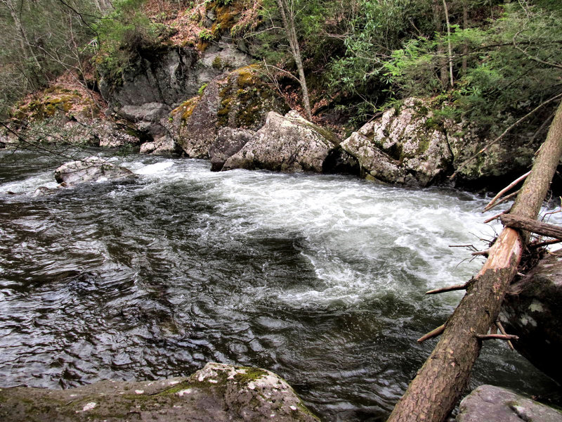
Location
Other Rapids on This Run (2)
View Full Run
Damascus to South Fork of the Holston River (U.S. 58)
Laurel Creek
II+(III)
2.8 mi
Current Conditions
5-Day Forecast
Whitewater data from
American Whitewater
American Whitewater