Gauge Conditions
Runnable: ? – ? CFS
Approximate - nearest available gauge. Use as general reference only.
Data from American Whitewater & USGS
Description
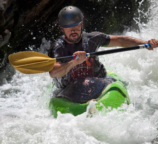
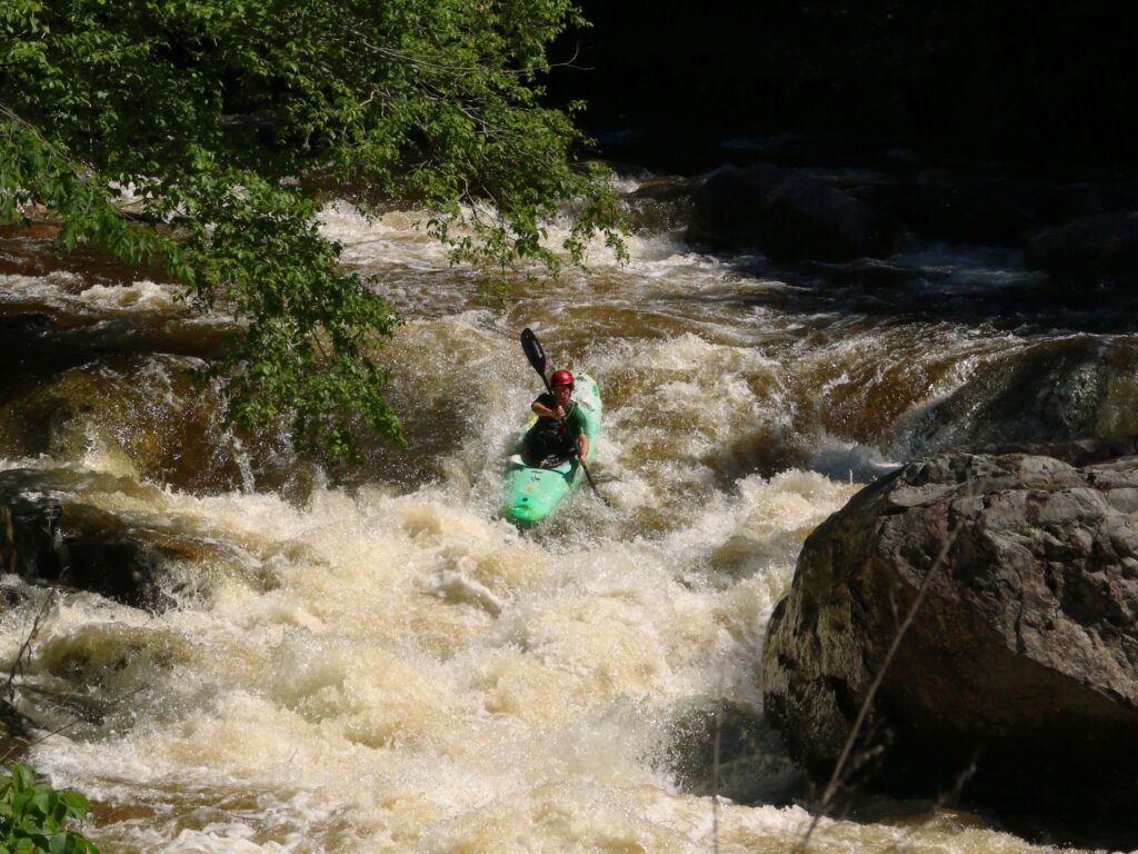
The Deer Creek confluence rapid presents a complex hydraulic environment where Squirrel Creek's flow merges with the main waterway, creating unpredictable currents and potential swirling eddies. Paddlers should be prepared for potential debris and shifting water dynamics around the confluence point, with careful line selection critical to navigating the potentially technical water transition.
Location
Other Rapids on This Run (2)
View Full Run
Pleasant Valley Road to Deer Creek
Squirrel Creek
IV+
3.2 mi
Current Conditions
5-Day Forecast
Whitewater data from
American Whitewater
American Whitewater