Take-out
CA
Take-out, on Deer Creek at Mooney Flat Road
Squirrel Creek - Pleasant Valley Road to Deer Creek (CA)
Gauge Conditions
Runnable: ? – ? CFS
Approximate - nearest available gauge. Use as general reference only.
Data from American Whitewater & USGS
Photo
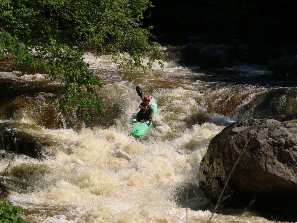
Photo courtesy of American Whitewater
Description
Take-out rapid at Mooney Flat Road presents a transition zone where Deer Creek's flow changes characteristics, potentially requiring careful boat positioning and exit strategy. Paddlers should be alert for potential debris, shallow areas, or uneven riverbed that could complicate the take-out process, especially during varying water levels.
Location
Other Rapids on This Run (2)
View Full Run
Pleasant Valley Road to Deer Creek
Squirrel Creek
IV+
3.2 mi
Current Conditions
5-Day Forecast
Whitewater data from
American Whitewater
American Whitewater