Gauge Conditions
Runnable: ? – ? CFS
Approximate - nearest available gauge. Use as general reference only.
Data from American Whitewater & USGS
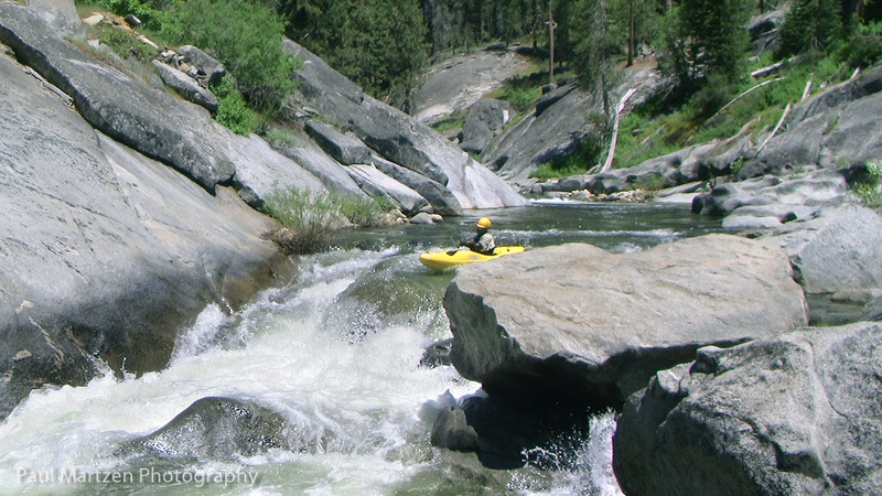
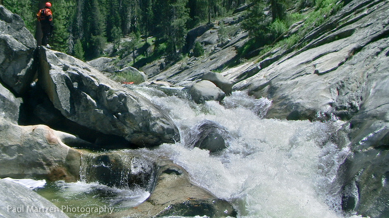
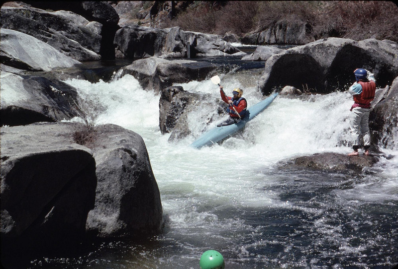
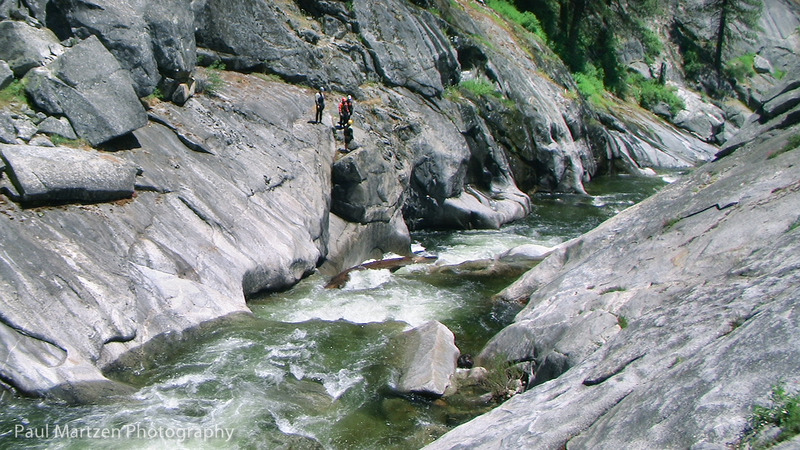
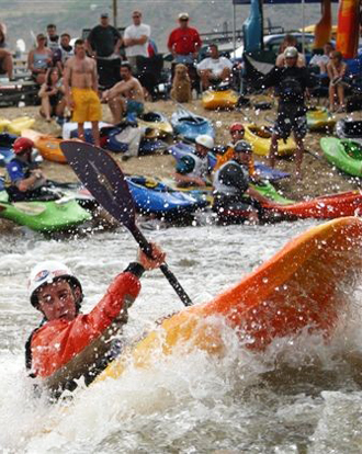
Photo
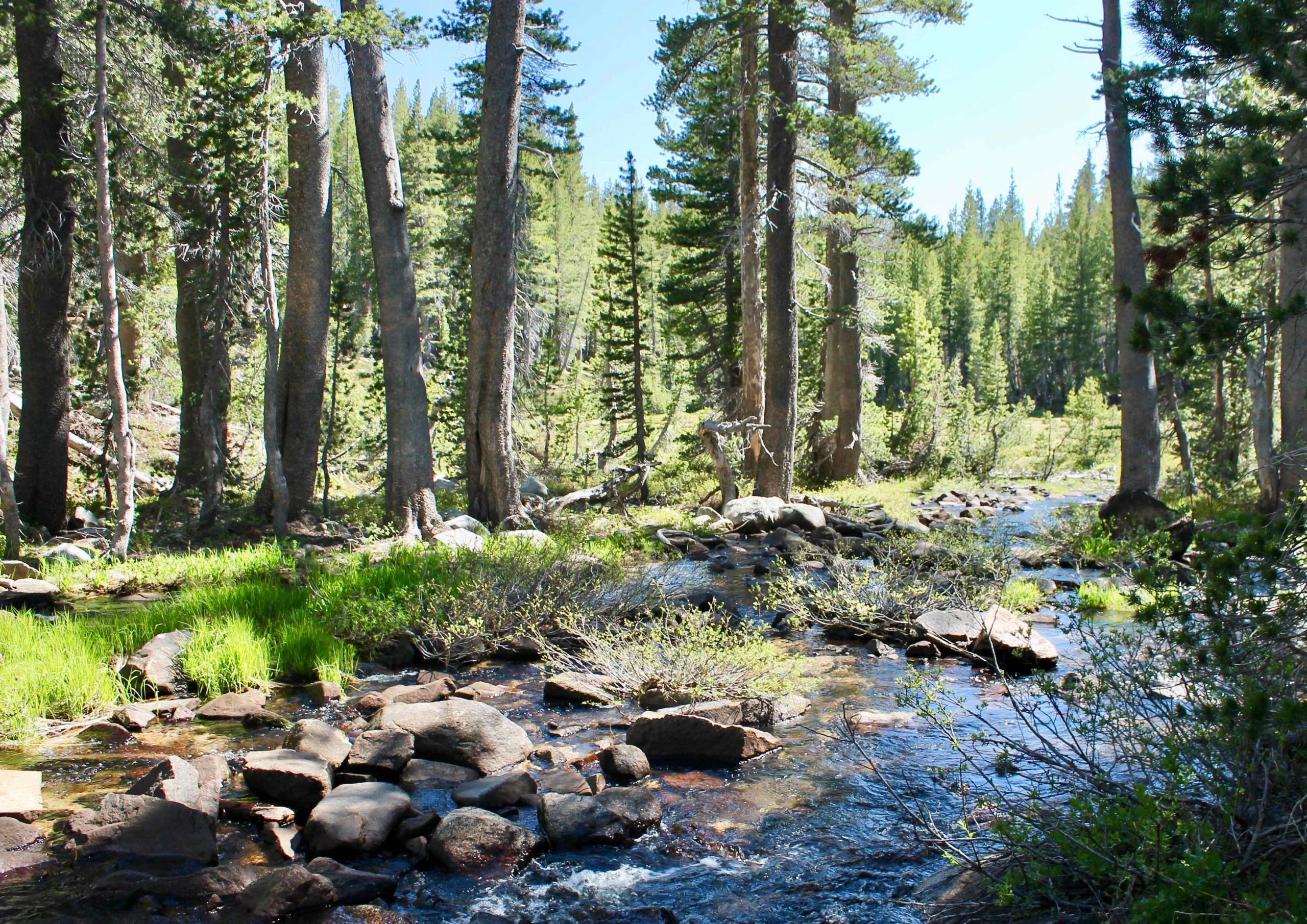
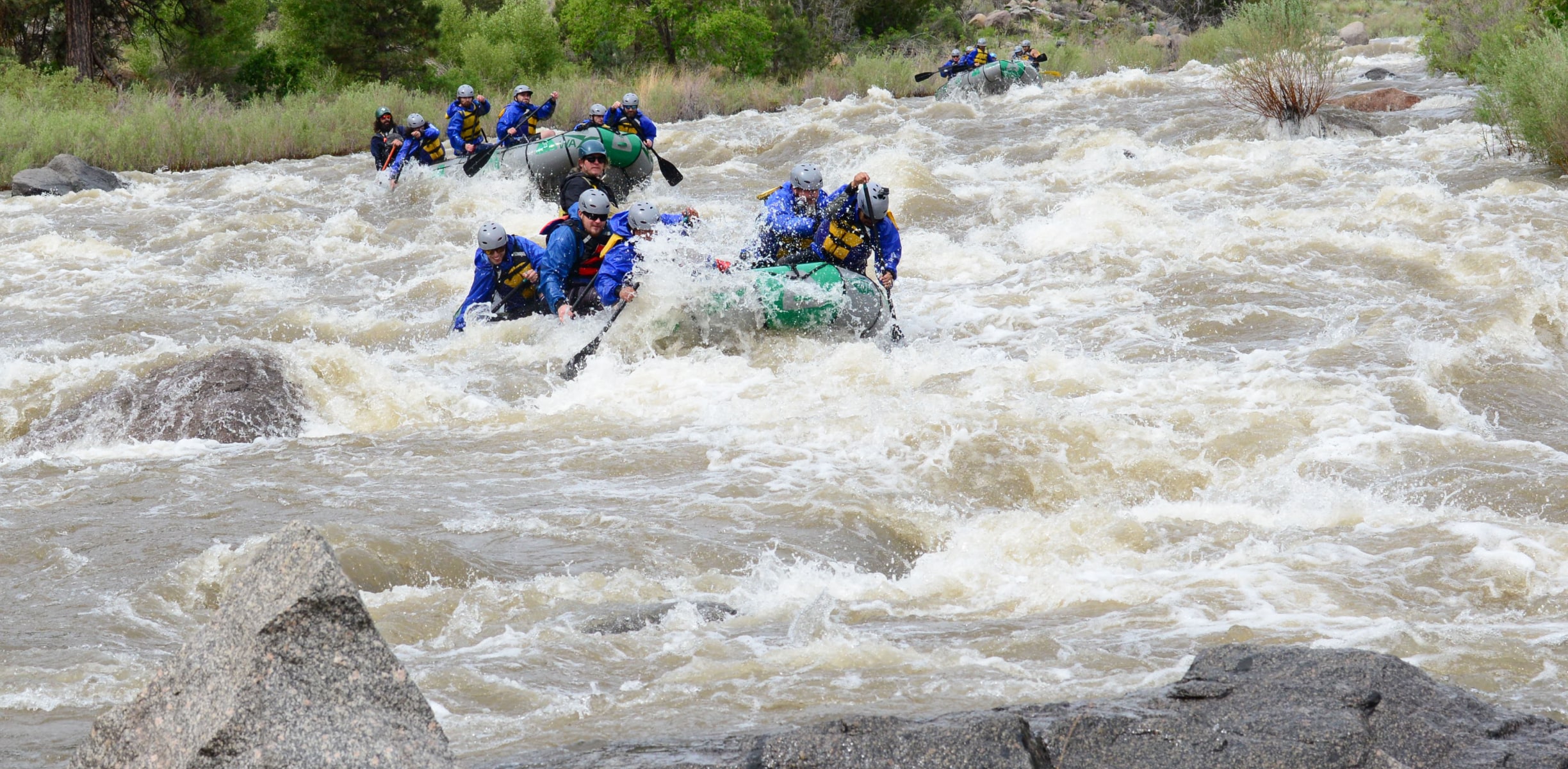
Photo courtesy of American Whitewater
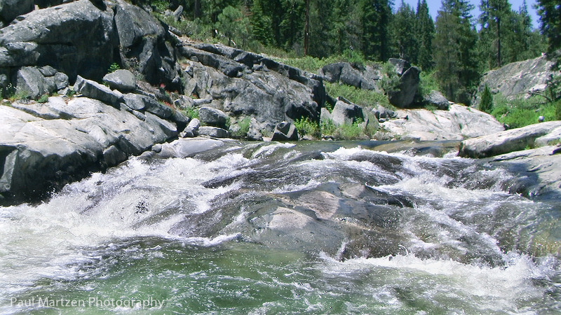
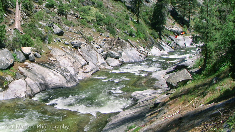
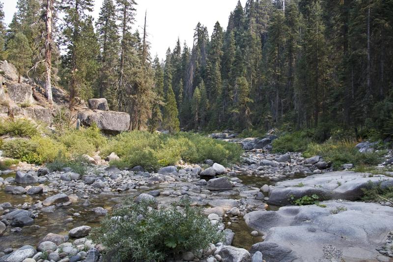
Description
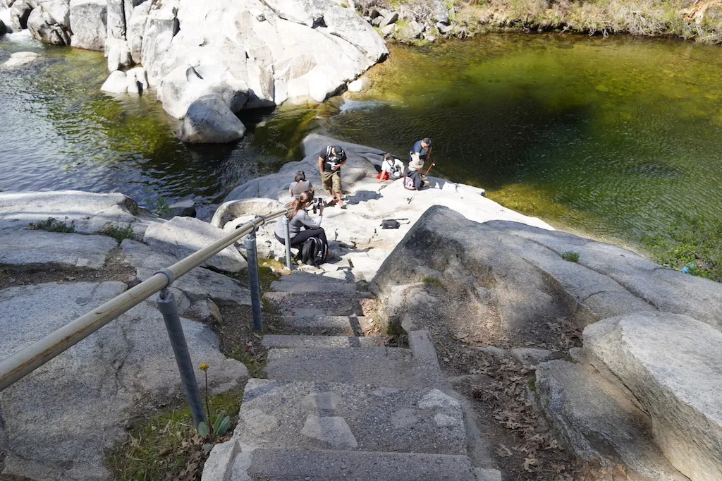
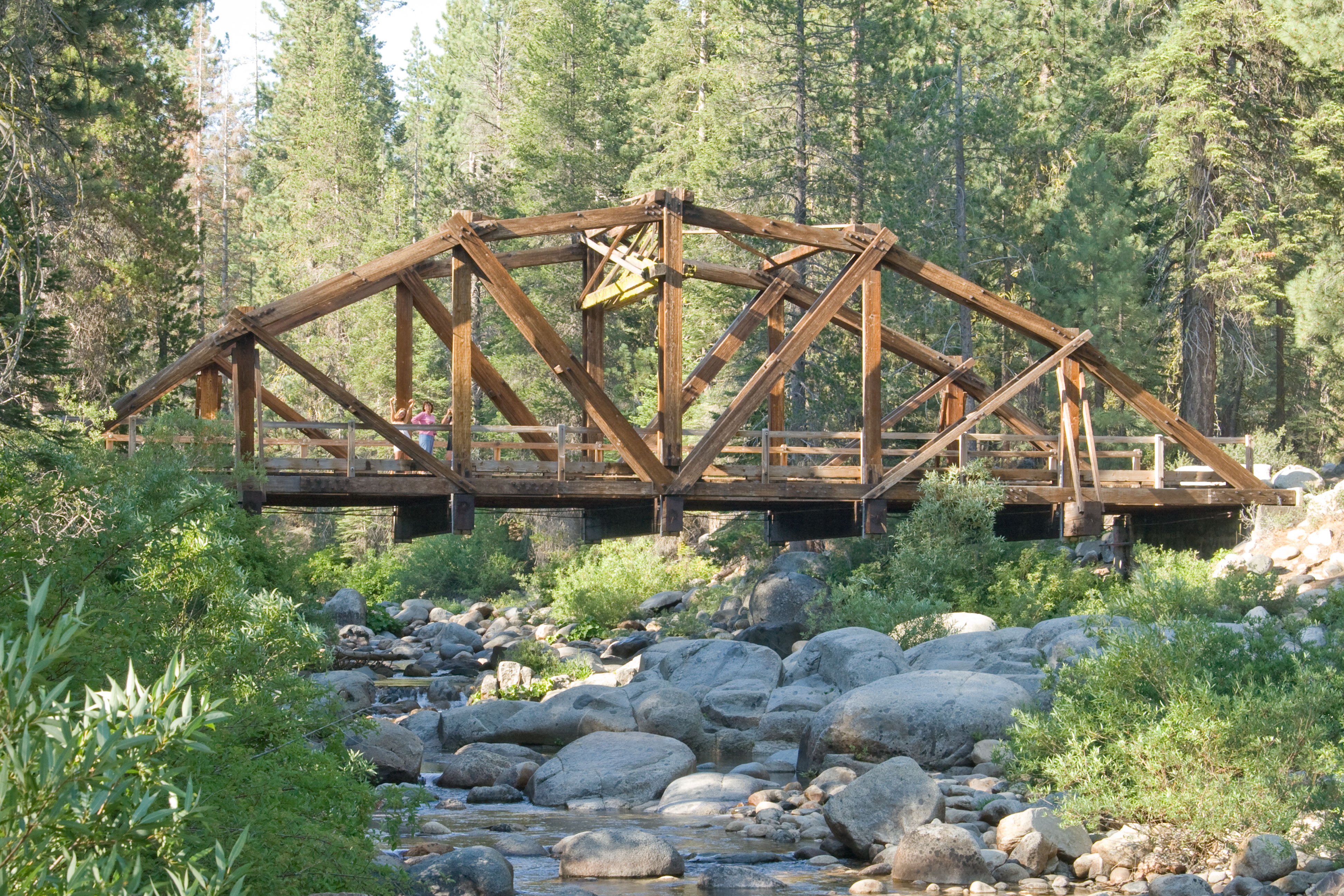
A corrugated gauge tower is visible on river left. A staff gauge, showing the level was on river right, but I did not see it in 2010. It is likely that I just forgot where to look as it is in a protected place.
Links to historical data are shown in the Flow tab.
Location
Other Rapids on This Run (19)
 Rapid
V
Rapid
V
Road's end Gorge
 Rapid
N/A
Rapid
N/A
Put In
 Rapid
N/A
Rapid
N/A
Honeymoon Pool
 Rapid
N/A
Rapid
N/A
Redwood Truss Bridge
Rapid
N/A
Highway Bridge
 Rapid
IV
Rapid
IV
Gorge Entrance
 Rapid
IV
Rapid
IV
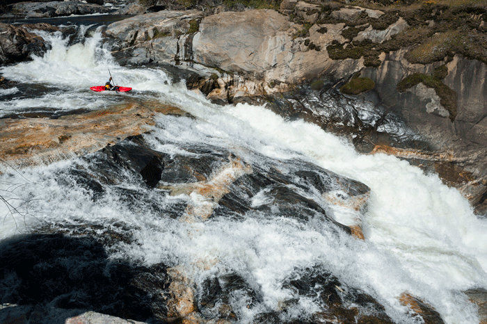
Drop before Nemo
 Waterfall
IV
Waterfall
IV
Captain Nemo
Rapid
III
Brushy Area
 Rapid
II
Rapid
II
Camp El-O-Win footbridge
 Rapid
IV
Rapid
IV
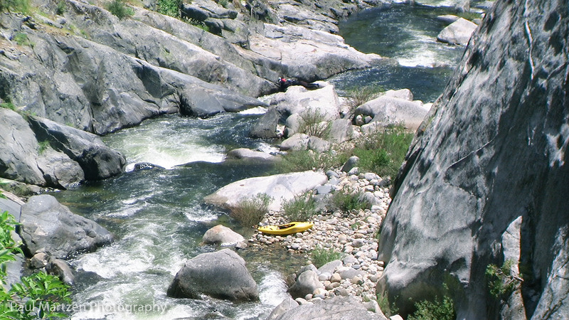
Gauge Drop
 Rapid
IV
Rapid
IV
Distinctive Slide
 Hazard
IV
Hazard
IV
Walt's Ledges
 Waterfall
IV+
Waterfall
IV+
Cherry Bomb Falls
 Rapid
IV
Rapid
IV
Max Headroom
 Rapid
IV
Rapid
IV
Sticky Ledge
 Rapid
IV
Rapid
IV
LA Riot
 Rapid
IV
Rapid
IV
Boulder Exit
 Rapid
N/A
Rapid
N/A
Take Out
View Full Run
2. Dinkey Creek Campgrounds to logging spur road
Dinkey Creek
IV-V
5.2 mi
Current Conditions
5-Day Forecast
Whitewater data from
American Whitewater
American Whitewater