Gauge Conditions
Approximate - nearest available gauge. Use as general reference only.
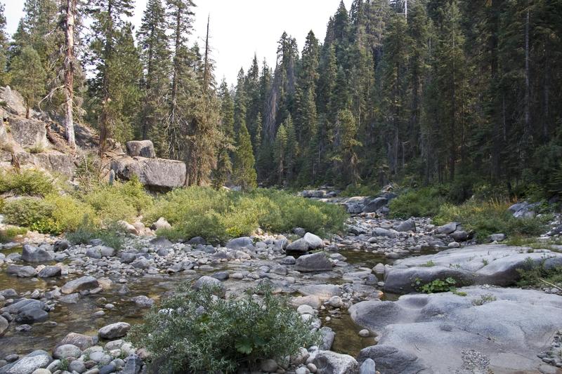
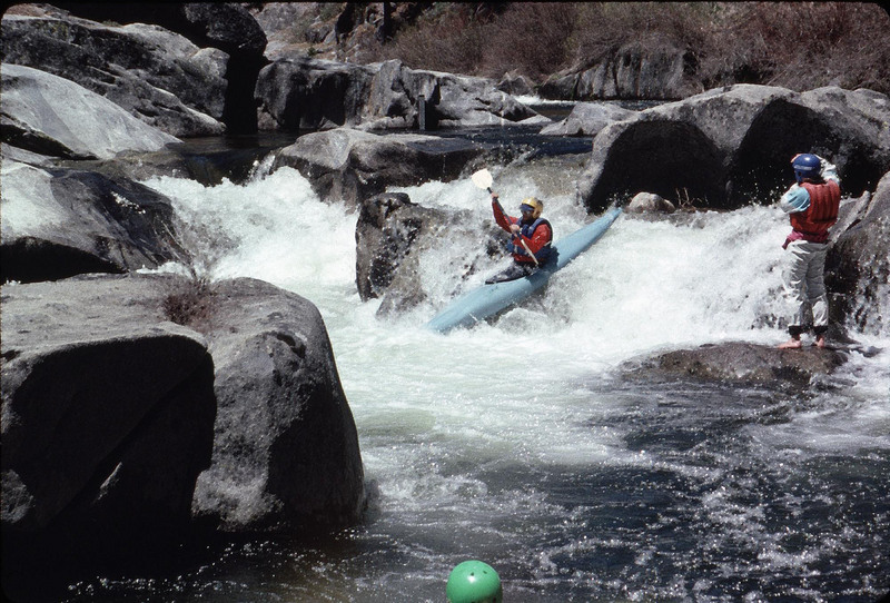
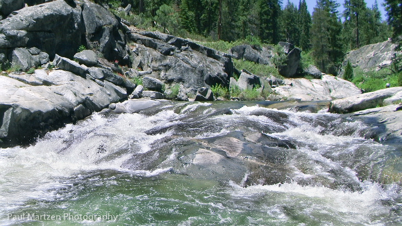
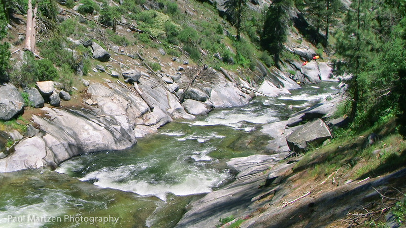
Photo
Description
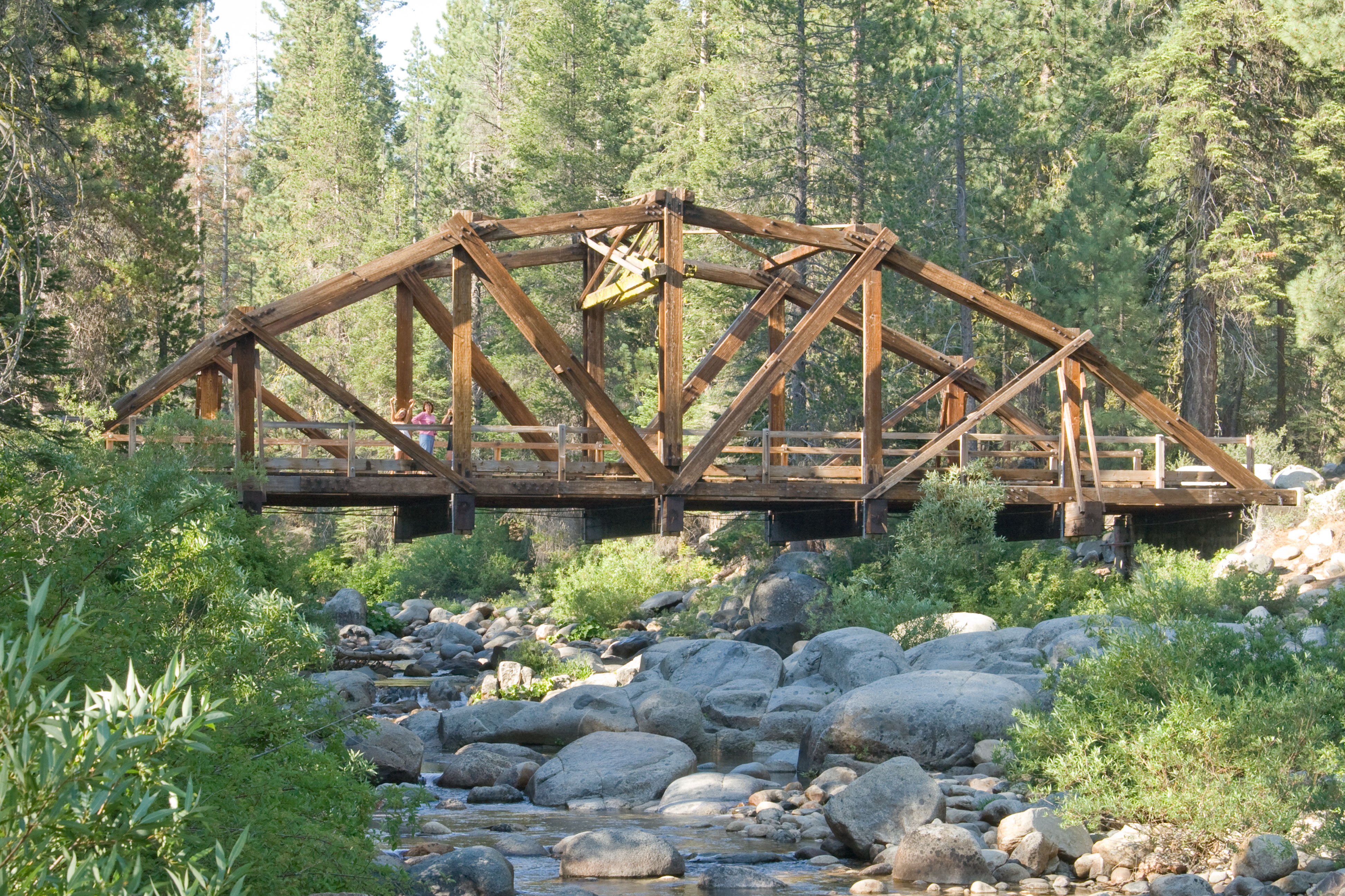
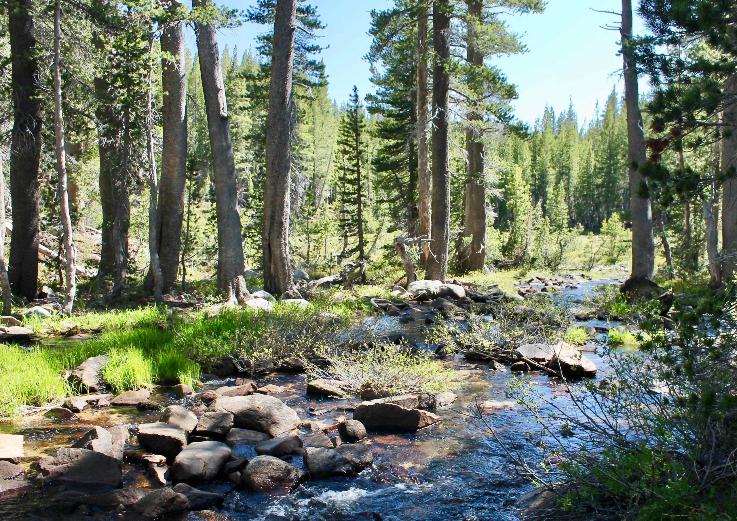
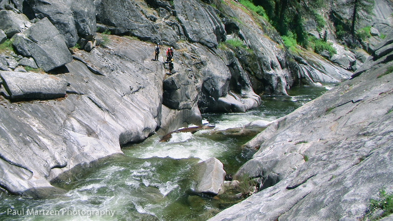
This take out is pretty non descript, so it is best to mark it somehow. The very last rapid before is distinctive. Downstream the creek turns to the left and quickly gets much steeper. Small slabs at the waters edge provide an easy exit from the water. A trail runs along the hillside on river right from the Sheriden Mine to Muley Hole. At this point the hillside flattens out near the water and so the trail comes down next to the creek.
In 2010, the trail looked well used, though there were some trees across it. Head upstream along the trail. Where the trail crosses a small gulley, two large logs are down. The trail just goes on top of the logs. A steep grade follows. When the trail levels out look for a side trail heading uphill to the logging spur road parking area. It is a popular trailhead for fishermen, but the trail was overgrown right at the parking area.
Location
Other Rapids on This Run (19)
 Rapid
V
Rapid
V
 Rapid
N/A
Rapid
N/A
 Rapid
N/A
Rapid
N/A
 Rapid
N/A
Rapid
N/A
 Rapid
IV
Rapid
IV
 Rapid
IV
Rapid
IV
 Waterfall
IV
Waterfall
IV
 Rapid
II
Rapid
II
 Rapid
N/A
Rapid
N/A
 Rapid
IV
Rapid
IV
 Rapid
IV
Rapid
IV
 Hazard
IV
Hazard
IV
 Waterfall
IV+
Waterfall
IV+
 Rapid
IV
Rapid
IV
 Rapid
IV
Rapid
IV
 Rapid
IV
Rapid
IV
 Rapid
IV
Rapid
IV
Current Conditions
5-Day Forecast
American Whitewater