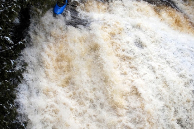
Drainage: ~1.23 square miles
Long Devil's Fork - Headwaters to Richland Creek (3+2 miles) (AR)
Gauge Conditions
Description
Just downstream of the listed put-in coordinates (after the juncture of three side-streams in quick succession), drainage area is ~1.23 square miles (as calculated by USGS StreamStats 4.2.0 software). Also, as labeled on that software, the indicated put-in is actually on a tributary of Long Devil's Fork. (What is marked as Long Devil's Fork has its headwaters very near the junction of Newton 5070 Road and Newton 5080 Road.)
Just prior to merging with Big Devil's Fork, drainage has risen to ~5.11 square miles.
Big Devil's Fork at that point has drainage of ~3.8 square miles, for a combined drainage of ~8.9 square miles. Not far downstream, you'll enter Richland Creek, and the combined drainage after the confluence will be ~41.6 square miles (obviously meaning a huge jump in volume in that run).
Location

Current Conditions
5-Day Forecast
American Whitewater