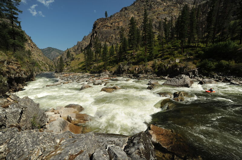
How's Your
River
×
Explore
Explore Map
Water Bodies
Gauges
Access Sites
Tidal Stations
Whitewater
Pricing
Login
Sign Up
Hazard Warning:
Hazard information may be user-submitted and unverified. Conditions change frequently. Always scout rapids and obstacles yourself.
Whitewater
Idaho
Salmon, S. Fork - 3 - Secesh Confluence with South Fork to Salmon River
Elk Creek Rapid
Rapid
ID
Class V
Elk Creek Rapid
Salmon, S. Fork - 3 - Secesh Confluence with South Fork to Salmon River (ID)
Monitor this Rapid
Water Body
This Run
Map
Other Rapids
Gauge
Weather
Directions
Gauge Conditions
SF Salmon River near Krassel Ranger Station ID
Upstream
Primary
Runnable: 1.0 – 7.0 FT
Data from
American Whitewater
&
USGS
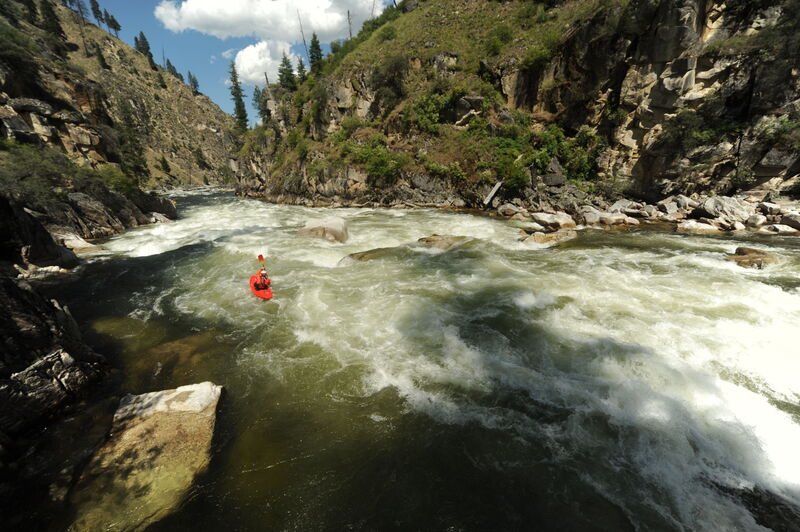
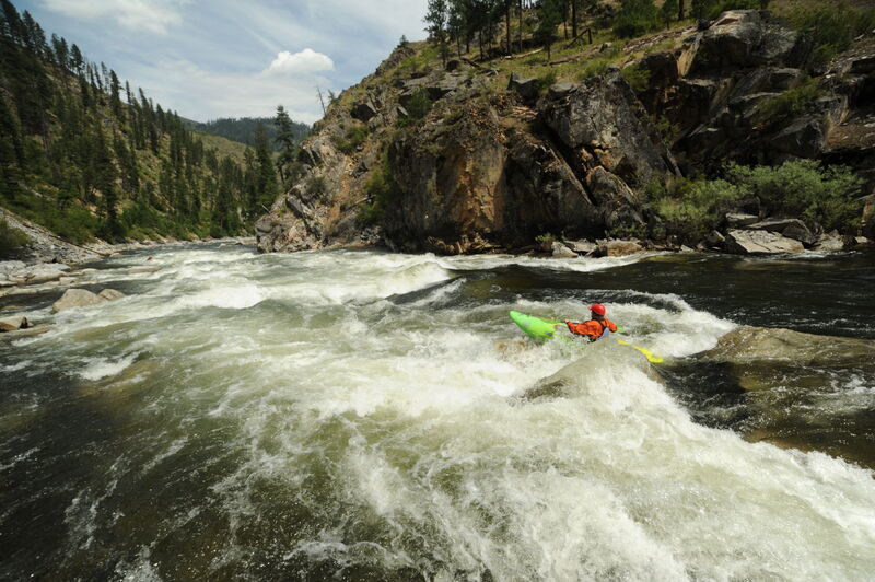
Photo
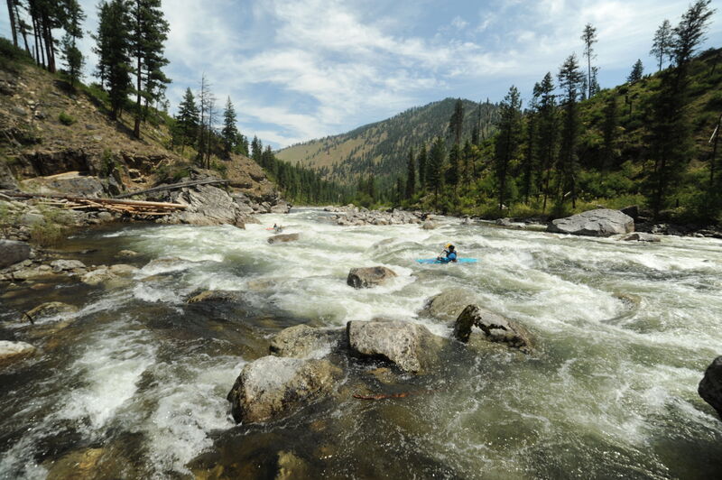
Photo courtesy of
American Whitewater
Description
Elk Creek Rapid, at one time known as Teetering Log before the log was washed away in 1982, has a cliff along river left with a steep drop at its base.
Location
Radar
Counties
Cell
Verizon
AT&T
T-Mobile
Dark
Satellite
Terrain
Other Rapids on This Run (7)
Rapid
N/A
Secesh Confluence Put-In
0.9 mi
Rapid
V
Devil Creek Rapid
9.7 mi
Rapid
IV+
Surprise
15.1 mi
Rapid
N/A
South Fork Guard Station Road Bridge
17.4 mi
Rapid
N/A
South Fork Salmon Trail Bridge at Porphyry Creek
27.3 mi
Rapid
V
Fall Creek Rapid
32.9 mi
Rapid
N/A
Vinegar Creek, Take Out
35.5 mi
Type
Rapid
Difficulty
Class V
Mile Marker
15.5 mi
Directions
Navigate
View Full Run
3 - Secesh Confluence with South Fork to Salmon River
Salmon, S. Fork
IV-V
36.0 mi
Current Conditions
5-Day Forecast
Whitewater data from
American Whitewater
Elk Creek Rapid