Gauge Conditions
Data from American Whitewater & USGS
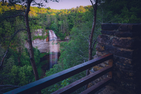
Description
A modern concrete bridge spanning the creek. The bridge, the road on it and both banks are private property: keep off except in case of emergency. If necessary, follow the road to the right through the gate and out to Sandy Ford Road.
Location

View Full Run
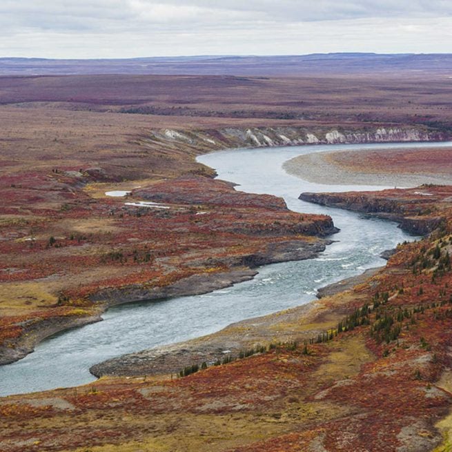
Town Creek Road to Copper Mine
Tesnatee Creek
I-II(IV)
9.4 mi
Current Conditions
5-Day Forecast
Whitewater data from
American Whitewater
American Whitewater