Forks Community Park River Access
Salmon, North Fork - Gallia Mine River Access to Forks of Salmon (CA)
Gauge Conditions
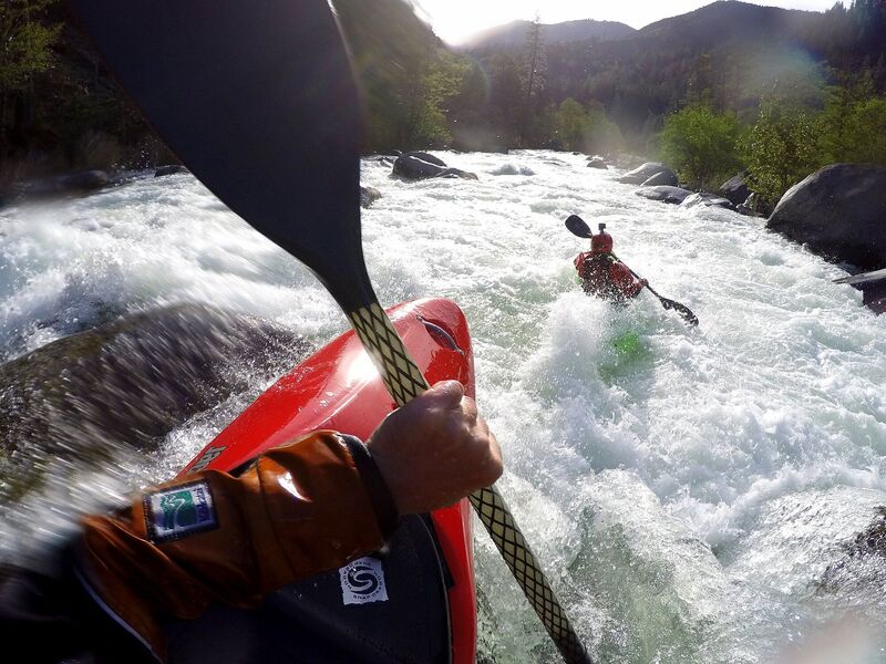
The NF Canyon can be run below 3200 cfs on the Somes Bar gauge but becomes increasingly technical and rocky. Above 5500 cfs, the run gets pushier but pads out
Description
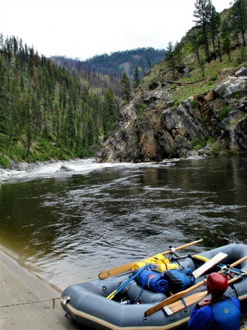
Take out on river right immediately upstream of the Cecilville Road bridge. There is a path from the river up to the Forks of Salmon Community Park near the USFS restroom and US Post Office. There is a parking area and a public phone here too plus a large North Fork Salmon River sign along the road to make it even more obvious.
Paddlers may also continue downstream to the mainstream Salmon River and go another 1/2 mile to take out at the sandy beach on river right below the Forks of Salmon Elementary School. This is accessed by the unsigned gravel road off Salmon River Road that is directly across from the white Community Club building at the 17-mile marker.
Location
Other Rapids on This Run (20)
 Rapid
IV
Rapid
IV
 Rapid
III
Rapid
III
 Rapid
III+
Rapid
III+
 Rapid
III
Rapid
III
 Rapid
IV-
Rapid
IV-
 Rapid
III+
Rapid
III+
Current Conditions
5-Day Forecast
American Whitewater