Gauge Conditions
Data from American Whitewater & USGS
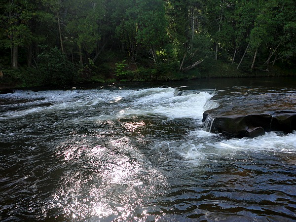
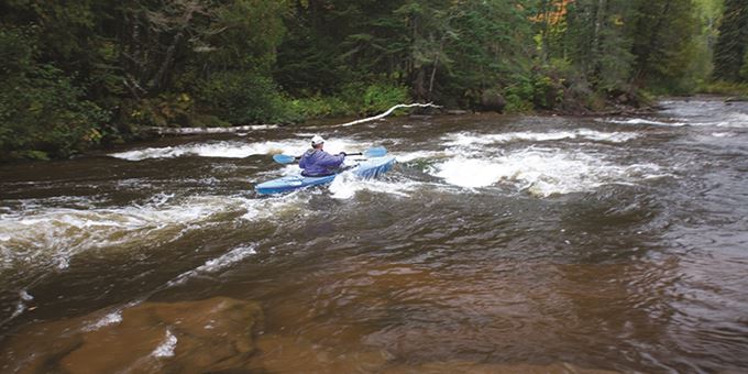
Photo

Photo courtesy of American Whitewater
Description
The Highway 13 Rapids on the Bois Brule River feature a mixed terrain of moderate gradient with scattered boulder gardens and potential channel constrictions. Paddlers should be prepared for potential mid-stream obstacles and variable water levels that can quickly change the character of the rapid, requiring careful route selection and precise maneuvering through the technical sections.
Location
Other Rapids on This Run (5)


View Full Run
B) Copper Range Campground to Hwy. 13 (9 miles)
Bois Brule
II
8.7 mi
Current Conditions
5-Day Forecast
Whitewater data from
American Whitewater
American Whitewater