Hwy 111 Bridge (public ramp / sandbar under the bridge)
Wolf River (Obay R./Dale Hollow Lake trib.) - Hwy 325 (Moodyville Rd/Red Hill Rd) to S Ford Rd / Hwy 111 (TN)
Gauge Conditions
Runnable: 3.0 – 4.0 FT
Between 3 and 4 feet is reported to be an optimal flow range.
Data from American Whitewater & USGS
Description
Hwy 111 Bridge (public ramp / sandbar under the bridge) - Access from Wolf River Rd
36.602346, -85.121555
Take-Out Elevation: 654 ft
Avg Gradient: 14 fpm
Great put-in option to paddle the Wolf River to Dale Hollow Lake as well (Gunnels Camp Boat Ramp is a ~2.3 mile paddle from this bridge.)
36.609623, -85.148666
Location
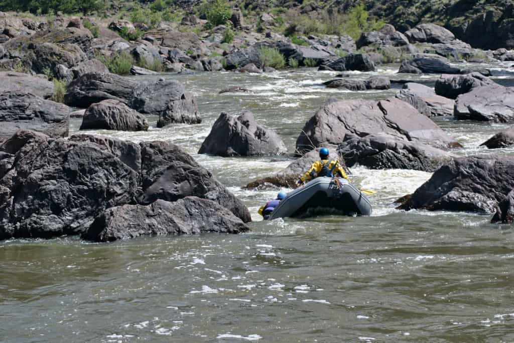
Other Rapids on This Run (9)
Rapid
I
Stokley R. West Bridge (Hwy 325/Red Hill Rd - Stokley West Rd)
Rapid
II
Alternate Put-in
 Waterfall
II
Waterfall
II
Pritchett Falls (Dry Creek Confluence)
Rapid
II
Heron Ledge (Burntmill Ford Bridge)
 Rapid
II
Rapid
II
Drum Hole Rapid
Rapid
II
Leaf Hole Rapid
Rapid
II
Cave Rapid
 Waterfall
II
Waterfall
II
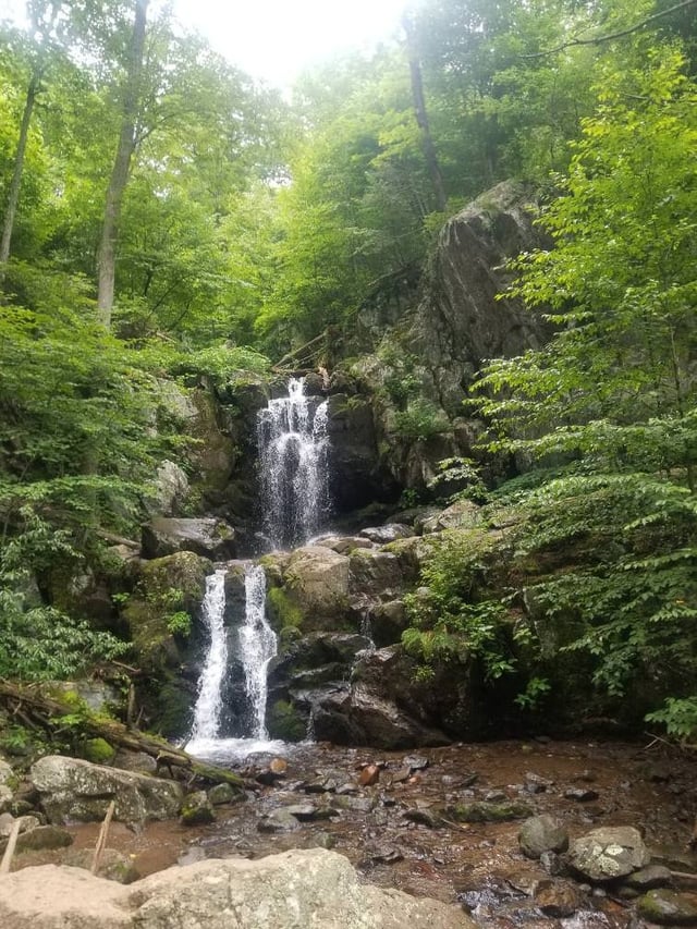
Twin Falls
Rapid
II
S Ford Rd. Bridge
View Full Run
Hwy 325 (Moodyville Rd/Red Hill Rd) to S Ford Rd / Hwy 111
Wolf River (Obay R./Dale Hollow Lake trib.)
II
12.0 mi
Current Conditions
5-Day Forecast
Whitewater data from
American Whitewater
American Whitewater