Pritchett Falls (Dry Creek Confluence)
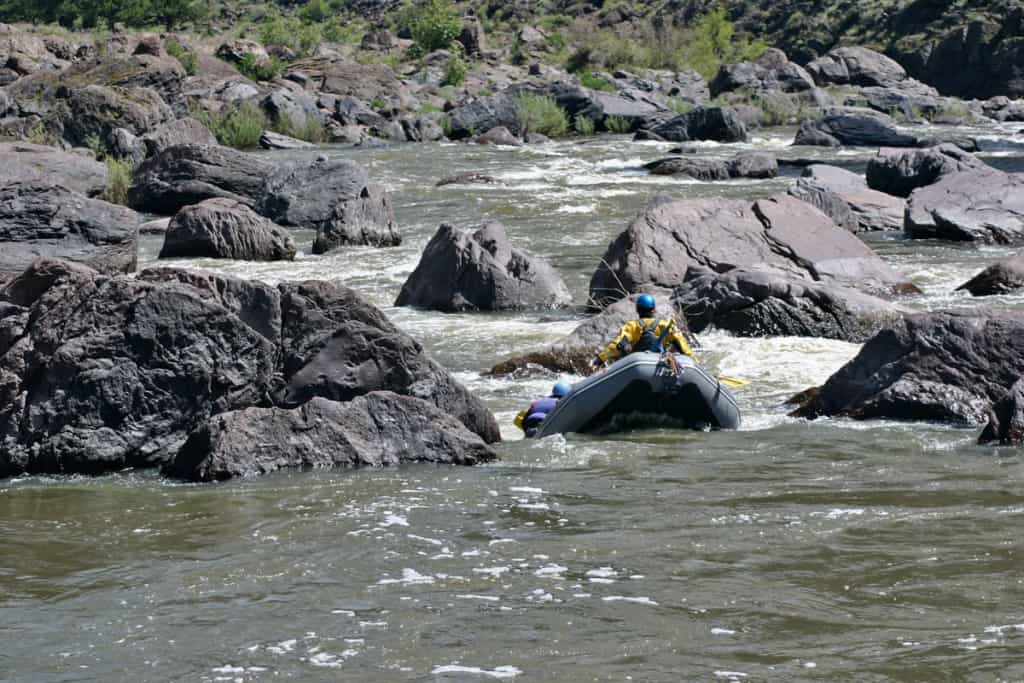
Wolf River (Obay R./Dale Hollow Lake trib.) - Hwy 325 (Moodyville Rd/Red Hill Rd) to S Ford Rd / Hwy 111 (TN)
Gauge Conditions
Runnable: 3.0 – 4.0 FT
Between 3 and 4 feet is reported to be an optimal flow range.
Data from American Whitewater & USGS
Photo
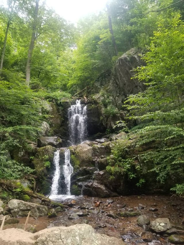
Photo courtesy of American Whitewater
Description
After the Chapman Branch confluence, the river absorbs a cascading tributary, Dry Creek, before bending right. From here, the gradient and rapids increase and stay consistent over the next ~1.25 miles (to the Leaf Hole Rapid).
Location
Other Rapids on This Run (9)
Rapid
I
Stokley R. West Bridge (Hwy 325/Red Hill Rd - Stokley West Rd)
Rapid
II
Alternate Put-in
Rapid
II
Heron Ledge (Burntmill Ford Bridge)
 Rapid
II
Rapid
II
Drum Hole Rapid
Rapid
II
Leaf Hole Rapid
Rapid
II
Cave Rapid
 Waterfall
II
Waterfall
II
Twin Falls
Rapid
II
S Ford Rd. Bridge
Rapid
I
Hwy 111 Bridge (public ramp / sandbar under the bridge)
View Full Run
Hwy 325 (Moodyville Rd/Red Hill Rd) to S Ford Rd / Hwy 111
Wolf River (Obay R./Dale Hollow Lake trib.)
II
12.0 mi
Current Conditions
5-Day Forecast
Whitewater data from
American Whitewater
American Whitewater