Gauge Conditions
Runnable: 3.3 – 10.0 FT
Likely too low for enjoyable whitewater trip. If rock just downriver from hwy 55 bridge has more than 2" showing above water flow is not adequate
Data from American Whitewater & USGS
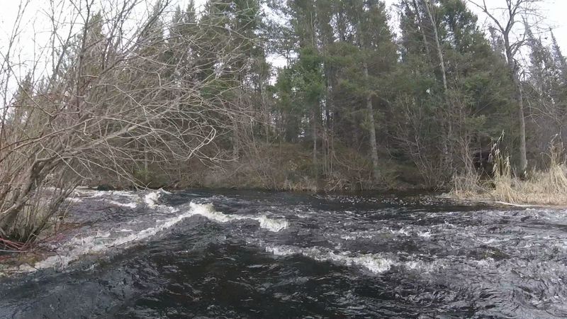
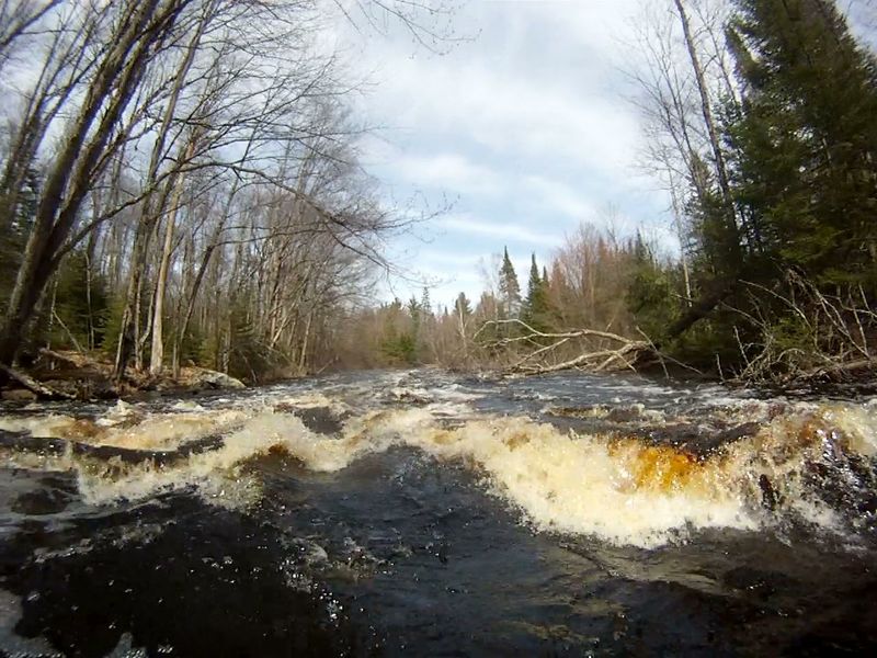
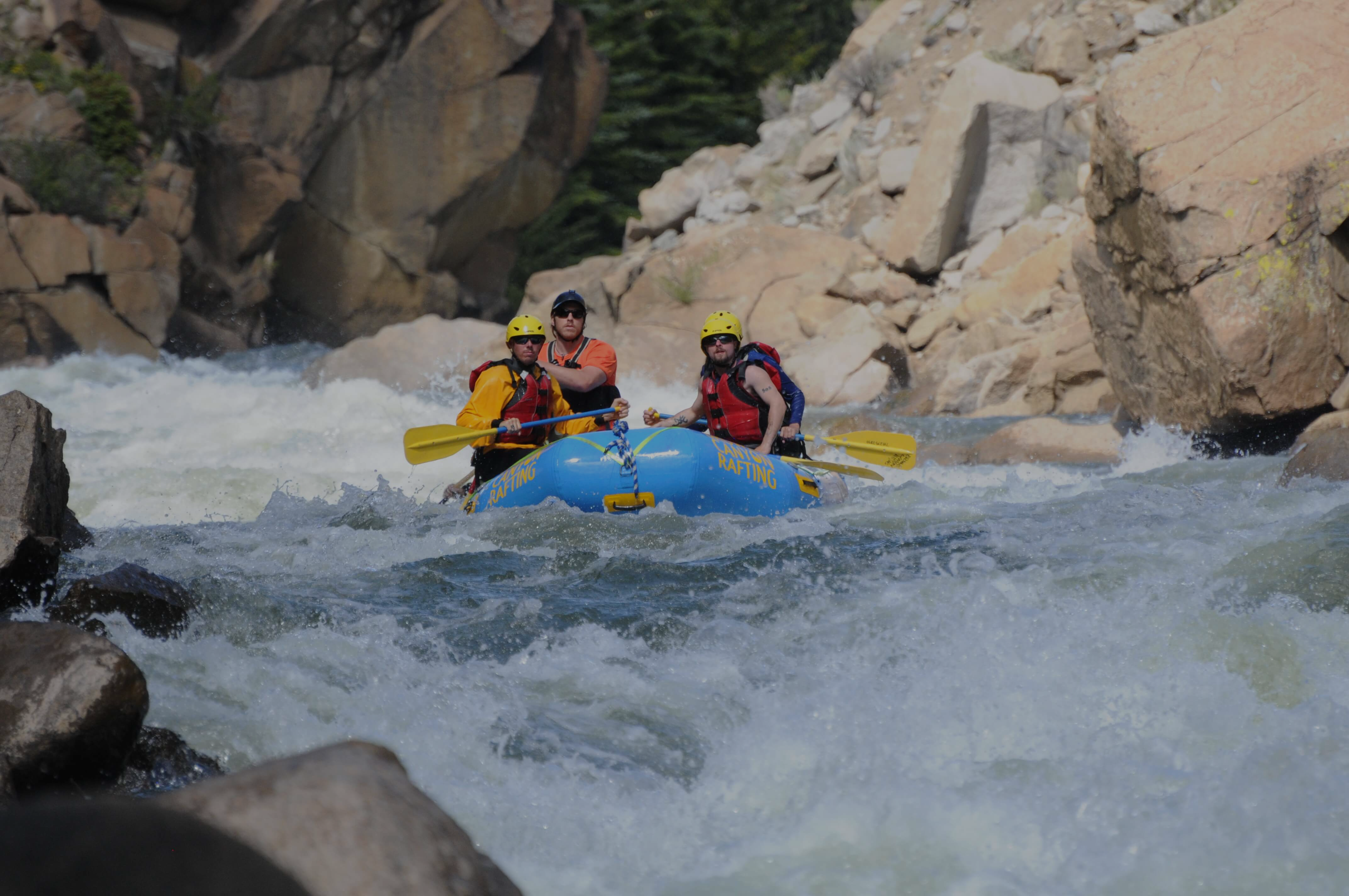
Photo
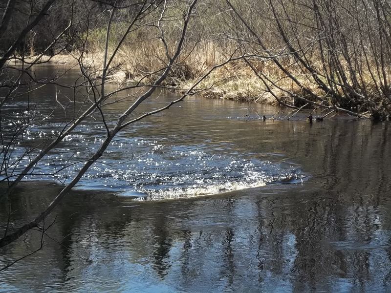
Photo courtesy of American Whitewater
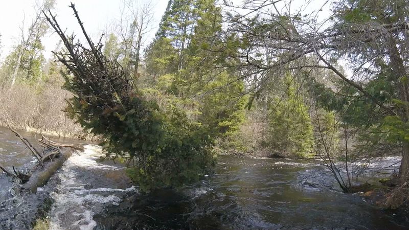
Description
Parking is only available along the road. The put-in is on river-left just downriver from the bridge. There is a large staging area near river but a narrow slot to launch from. When the mid-river rock visible downriver from the bridge (and just downriver launch spot) has more than 2” SHOWING above water, flow IS NOT ADEQUATE. If any of the rock is showing then the trip will require more maneuvering and may have some scraping on 3 of the upper rapids. On the other end of the scale, high flows are not significantly limiting for this section (just more waves and less rocks).
Location
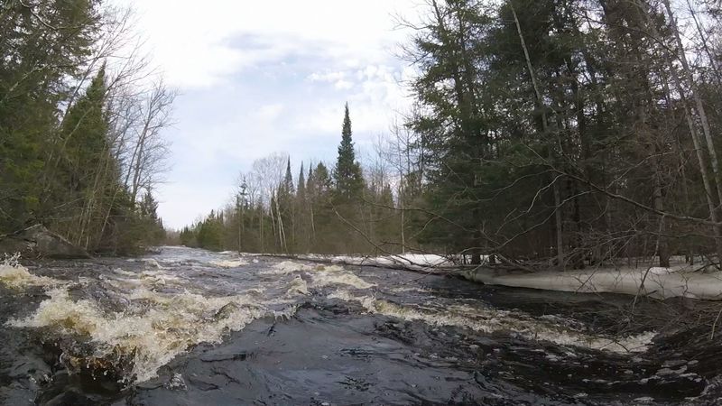
Other Rapids on This Run (12)
 Hazard
I
Hazard
I
Series of 4 minor rapids w/risk of stainers
Rapid
II
1st Long Rapids
 Rapid
II
Rapid
II
2nd Long Rapids
Rapid
I
Series of 6 minor rapids
 Rapid
II
Rapid
II
Series of 5 rapids
Rapid
N/A
Large Granite Outcrop
Rapid
N/A
First Outlet of Keystone Creek
 Rapid
II+
Rapid
II+
Old Dam Rapids
Rapid
II
Series of 3 rapids
 Rapid
II
Rapid
II
CCC Rapids
 Hazard
I
Hazard
I
Set of 3 minor rapids
Rapid
N/A
Stevens Lake Rd. Take-Out
View Full Run
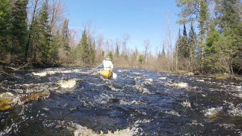
A) Hwy.55 to Stevens Lake Rd. (13.4 miles)
Pine
I-II
12.8 mi
Current Conditions
5-Day Forecast
Whitewater data from
American Whitewater
American Whitewater