Lake of the Falls County Park (R) and Campground (L)
Turtle - Shays Dam to CTH.FF (Turtle/Flambeau Flowage) (16.5 miles) (WI)
Gauge Conditions
Approximate - nearest available gauge. Use as general reference only.
Description
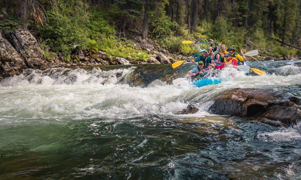
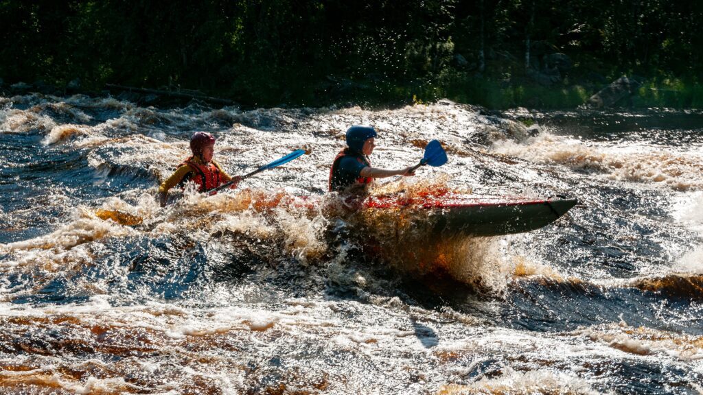
There first falls occurs where a footbridge crosses the river. To the left, water trips across a corrugated iron barrier followed immediately by major rock jumble (impassible under all normal flows) then into a mostly smooth channel. To the right, passing under the footbridge, a rocky first pitch (boat abuse at most flows), followed by a brief pool, then a second pitch (a bit smoother ... definitely runnable). Following that, the flow from the other channel rejoins (creating some turbulence at any significant flows), then heads toward a final complex pitch (likley runnable a couple different lines, but needing to be scouted for best line(s)).
Fine drone-footage video of the falls is available from the Mercer area Chamber of Commerce:
https://youtu.be/z9ZgF1o7n7M?si=lFCLNecoB8uQdRP_
Location
Current Conditions
5-Day Forecast
American Whitewater