Put-in
WI
Put In: Shays Dam Rd
Turtle - Shays Dam to CTH.FF (Turtle/Flambeau Flowage) (16.5 miles) (WI)
Gauge Conditions
Runnable: ? – ? CFS
Approximate - nearest available gauge. Use as general reference only.
Data from American Whitewater & USGS
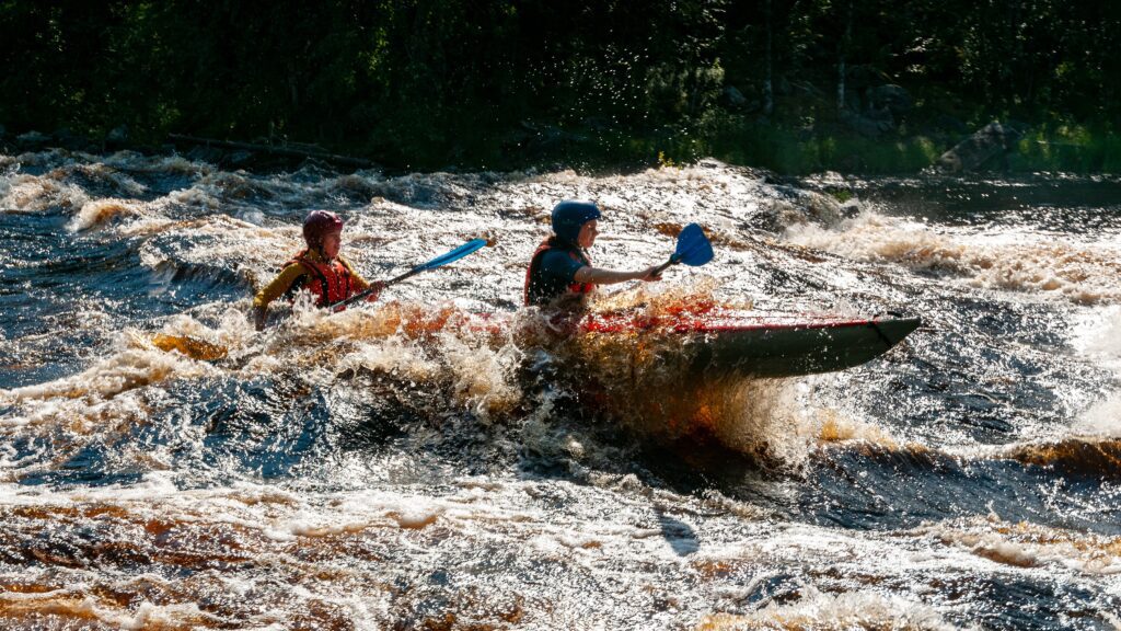
Photo
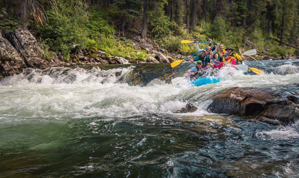
Photo courtesy of American Whitewater
Description
The put-in below Shays Dam offers a straightforward entry point to this stretch of the Turtle River, with minimal technical challenges immediately after the dam. Paddlers should be prepared for potential water level fluctuations and potential debris from the dam release, and maintain situational awareness as they begin their downstream journey through the Turtle/Flambeau Flowage section.
Location
View Full Run
Shays Dam to CTH.FF (Turtle/Flambeau Flowage) (16.5 miles)
Turtle
I(III)
16.8 mi
Current Conditions
5-Day Forecast
Whitewater data from
American Whitewater
American Whitewater