Gauge Conditions
Runnable: 2,000.0 – 30,000.0 CFS
Optimal flow range (flows based on 2014 Colorado Basin Flow Study).
Data from American Whitewater & USGS
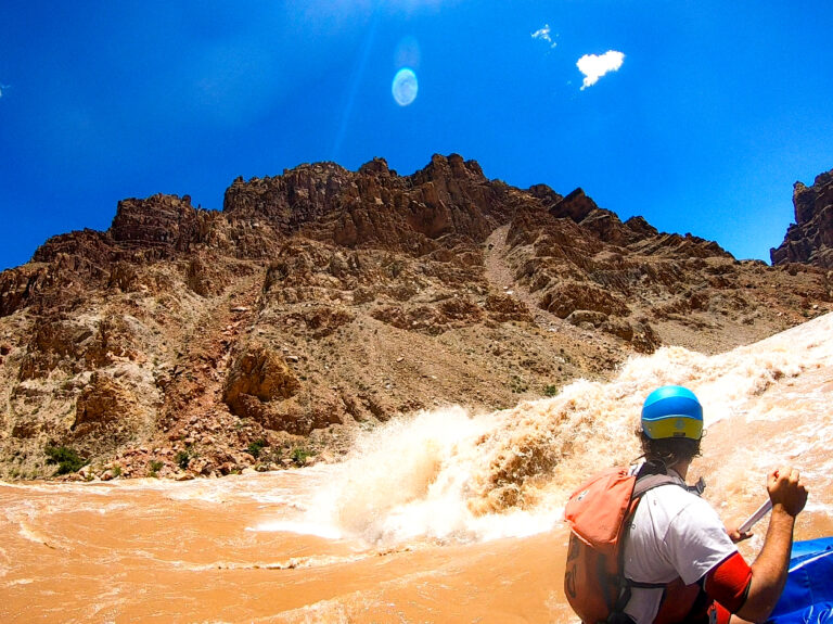
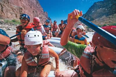
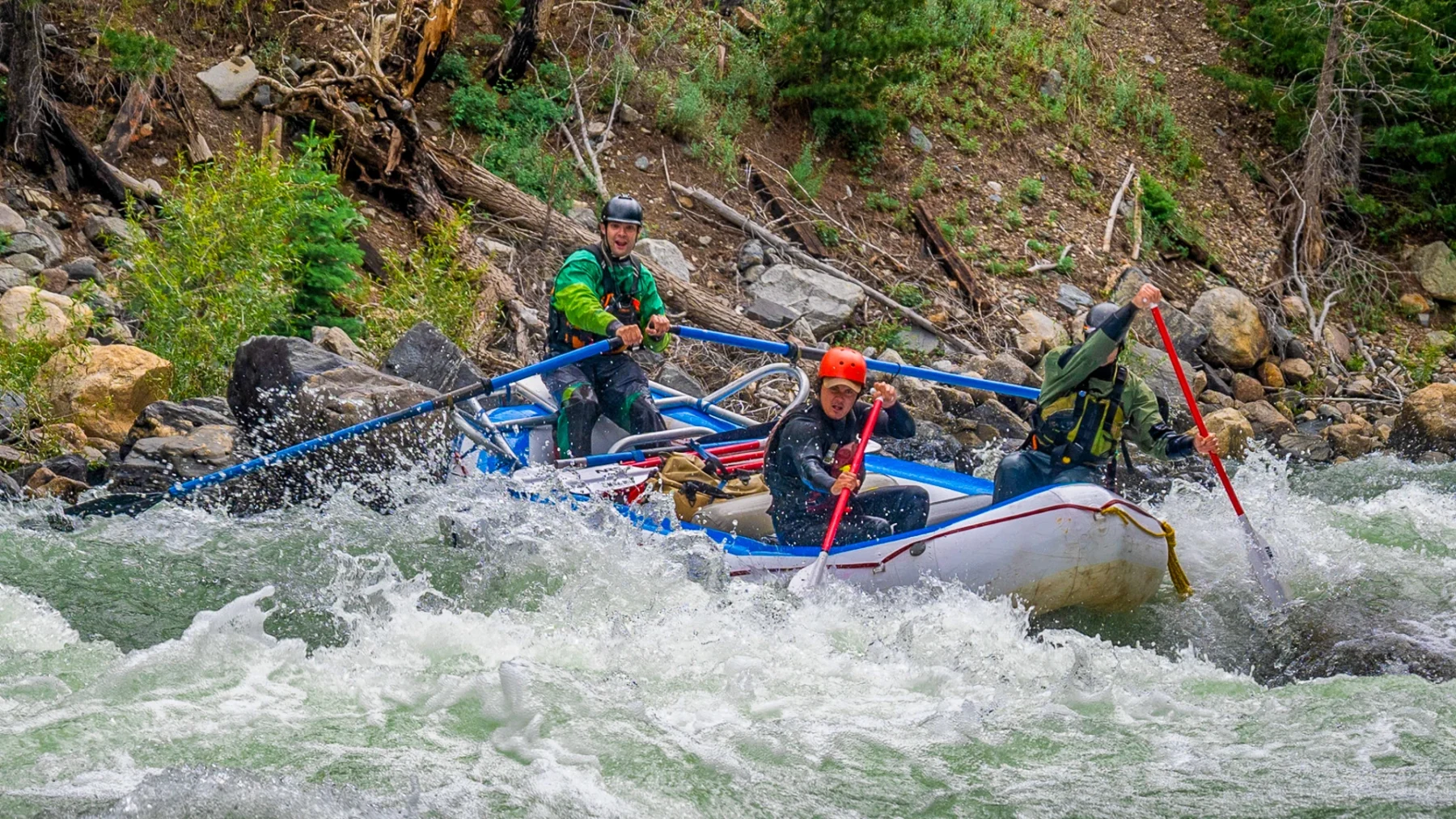
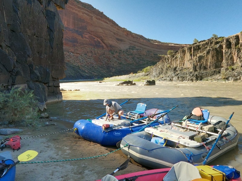
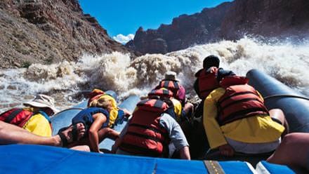
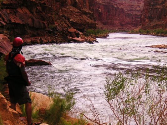
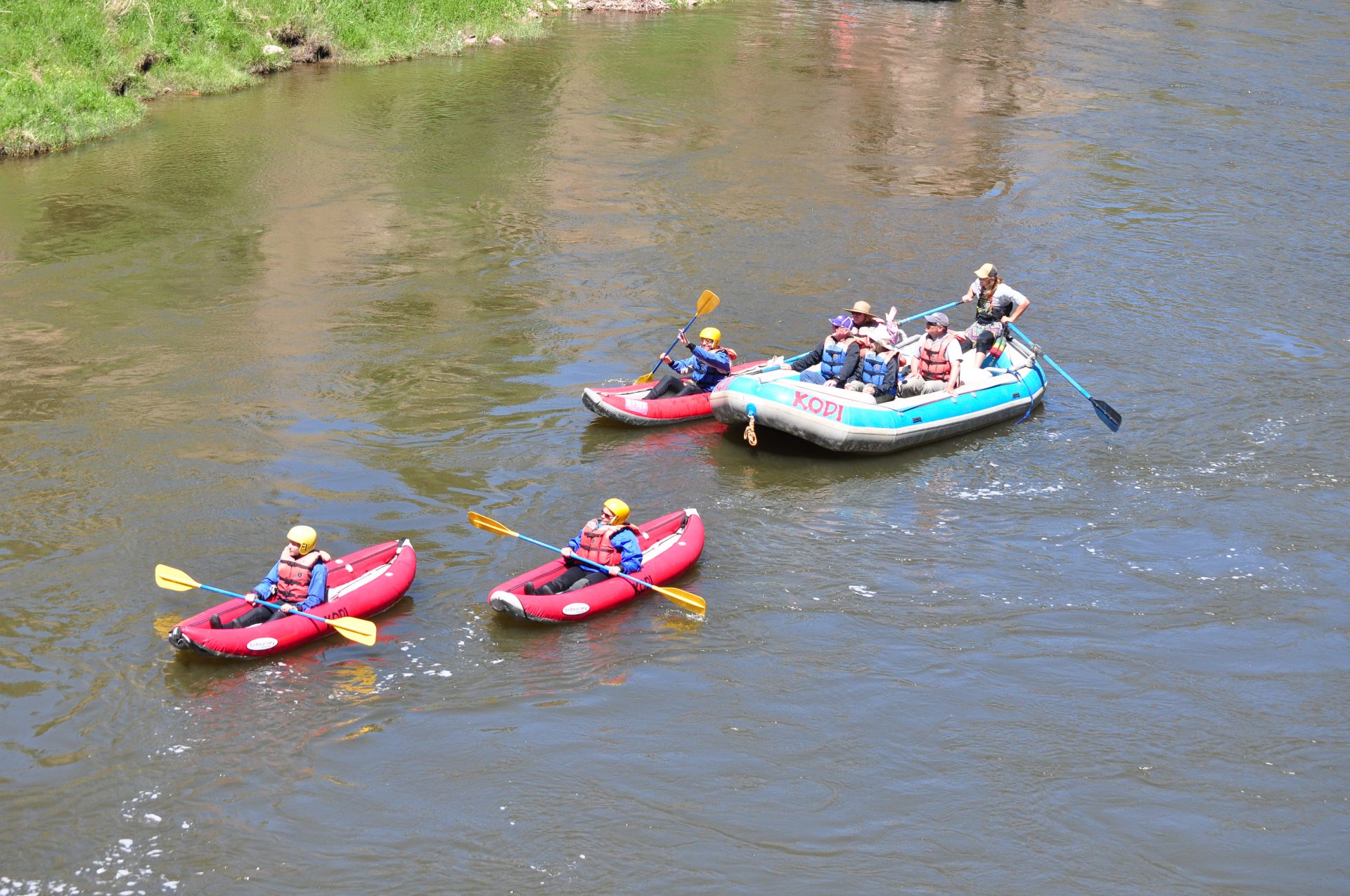
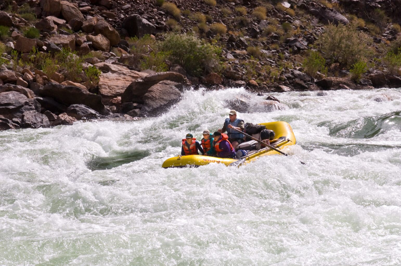
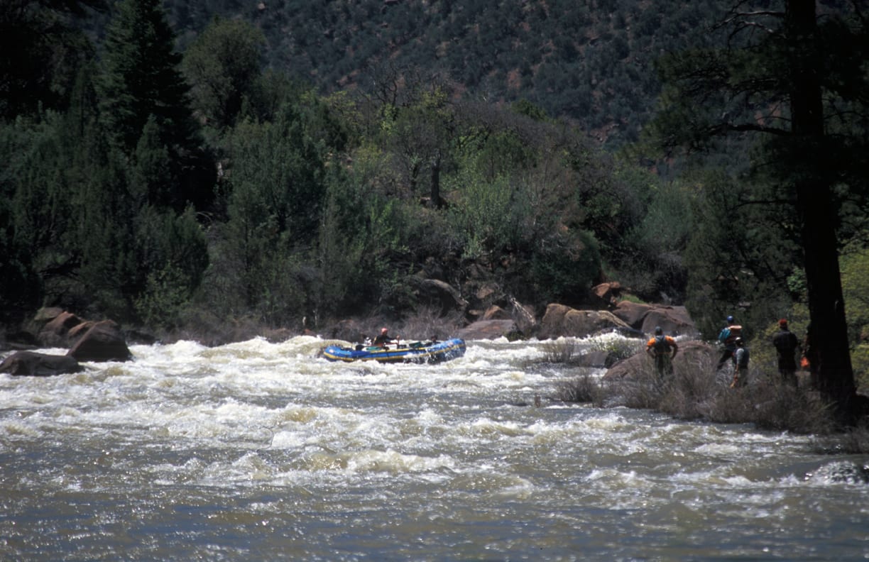
Photo
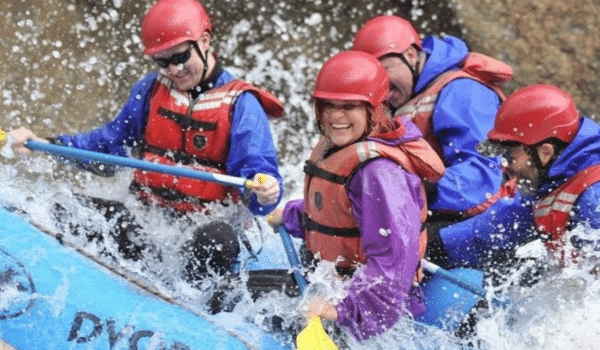
Photo courtesy of American Whitewater
Description
A large camp across the river from Little Hole.
Satellite imagery seems to show use trails from camp off into the desert beyond, and it's possible to ferry across the river to hike up Little Hole proper and visit some petroglyphs.
Location
Other Rapids on This Run (20)
 Rapid
N/A
Rapid
N/A
Westwater Ranger Station (put-in)
 Rapid
N/A
Rapid
N/A
Miners camp
 Rapid
II
Rapid
II
Wild Horse Rapids
 Rapid
N/A
Rapid
N/A
Folley's camp
 Rapid
N/A
Rapid
N/A
Upper Cougar Bar camp
 Rapid
N/A
Rapid
N/A
Lower Cougar Bar camp
 Rapid
N/A
Rapid
N/A
Upper Little Dolores camp
 Rapid
II+
Rapid
II+
Little Dolores Rapids
 Rapid
N/A
Rapid
N/A
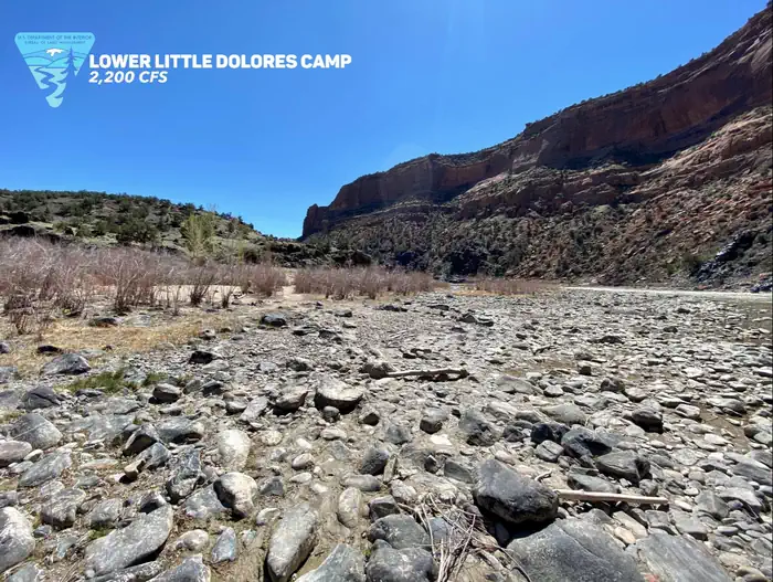
Lower Little Dolores camp
 Rapid
N/A
Rapid
N/A
Hades Bar camp
 Rapid
III
Rapid
III
Marble Canyon Rapids
 Rapid
III
Rapid
III
Staircase Rapids
 Rapid
III
Rapid
III
Big Hummer Rapids
 Rapid
III
Rapid
III
Funnel Falls
 Rapid
III
Rapid
III
Surprise Rapids
 Rapid
IV
Rapid
IV
Skull Rapid
 Rapid
III
Rapid
III
Bowling Alley
 Rapid
III
Rapid
III
Sock It To Me
 Rapid
III
Rapid
III
Last Chance Rapid
 Rapid
N/A
Rapid
N/A
Big Hole
View Full Run
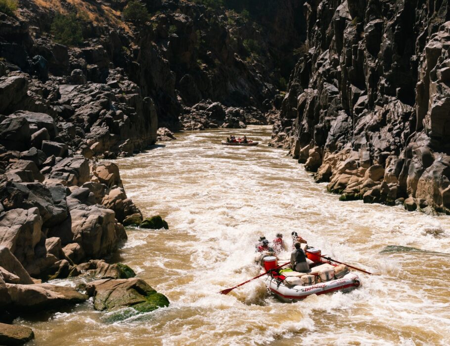
15. Westwater to Rose Ranch (Westwater Canyon)
Colorado
III-IV
17.6 mi
Current Conditions
5-Day Forecast
Whitewater data from
American Whitewater
American Whitewater