Gauge Conditions
Runnable: 200.0 – 10,000.0 CFS
Upper limit for best boatability uncertain. Please help your fellow boaters with a comment or report.
Runnable: 150.0 – 10,000.0 CFS
Upper limit for best boatability uncertain. Please help your fellow boaters with a comment or report.
Data from American Whitewater & USGS
Photo
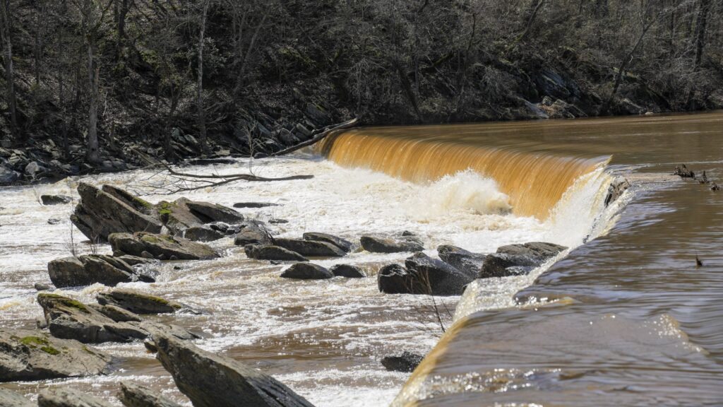
Photo courtesy of American Whitewater
Description
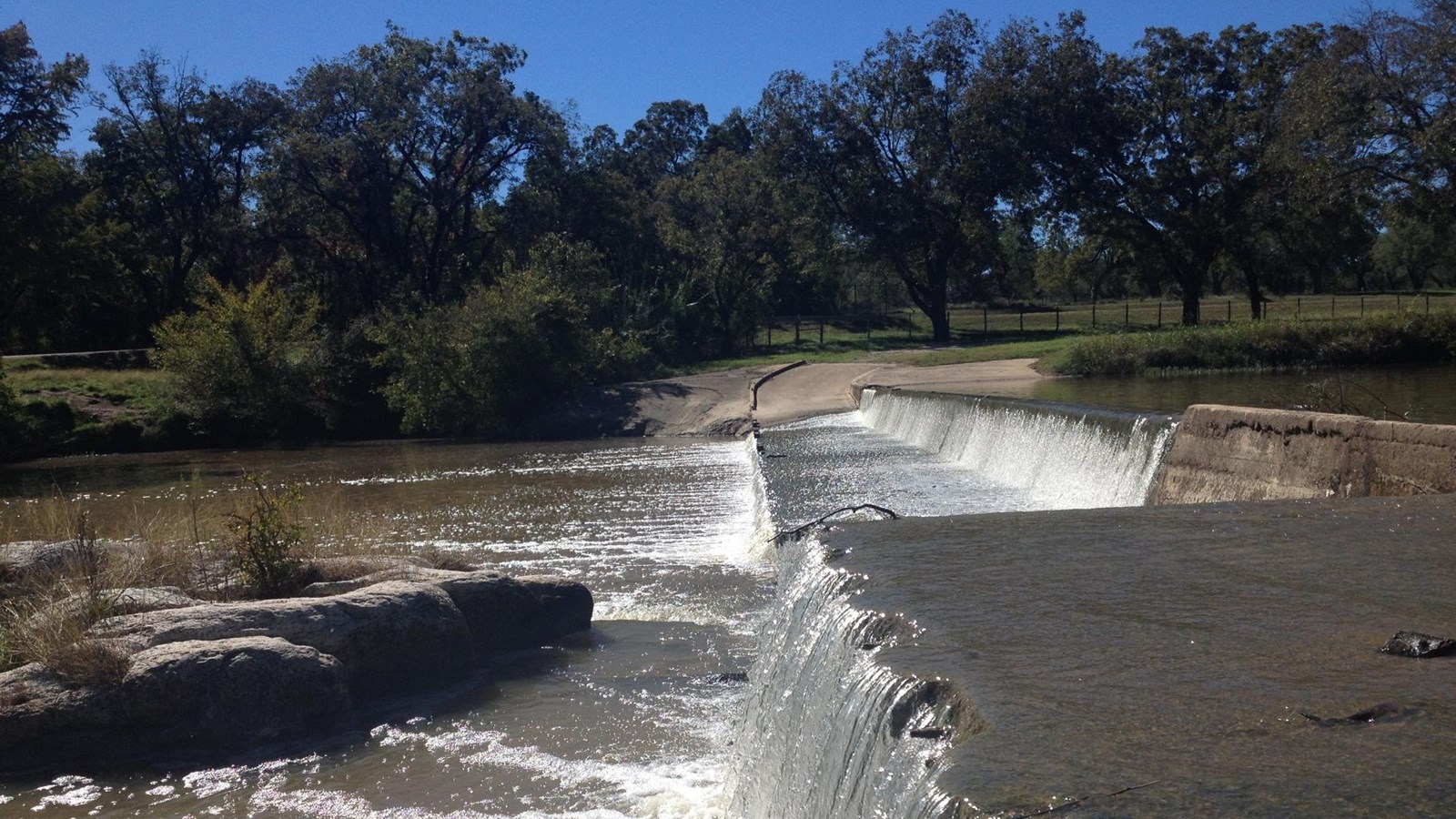
This dam/low-water crossing creates a significant drop, and the downstream side of it is effectively undercut due to the culverts that run through the dam. Thus, it creates a significant recirculating hydraulic when the water is high enough to overtop the dam (which is known to be the case at low runnable flows. Behavior at high flows is unknown.) Can be boofed at river left by experienced whitewater paddlers. Scout & portage on river left.
Location

View Full Run
1. SH 71 to Lost Creek (12 miles)
Barton Creek
II+
12.0 mi
Hazard — Exercise extreme caution in this area.
Current Conditions
5-Day Forecast
Whitewater data from
American Whitewater
American Whitewater