Gauge Conditions
Runnable: 200.0 – 10,000.0 CFS
Upper limit for best boatability uncertain. Please help your fellow boaters with a comment or report.
Runnable: 150.0 – 10,000.0 CFS
Upper limit for best boatability uncertain. Please help your fellow boaters with a comment or report.
Data from American Whitewater & USGS
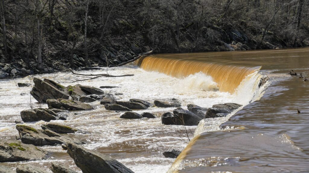
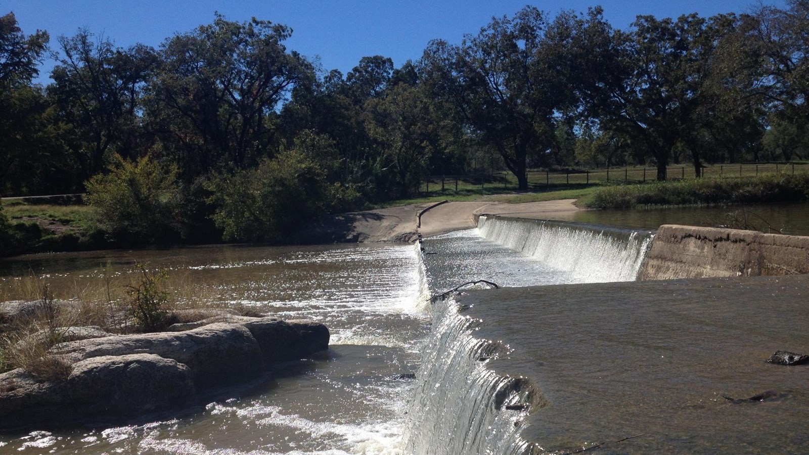
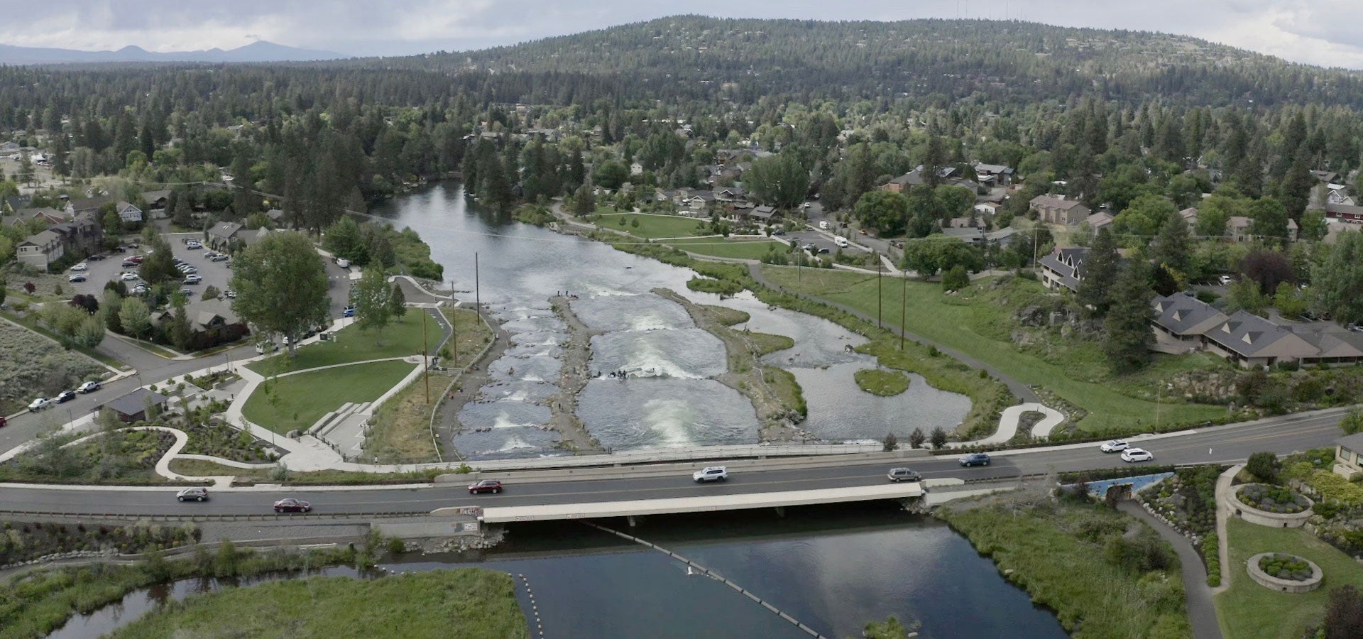
Photo
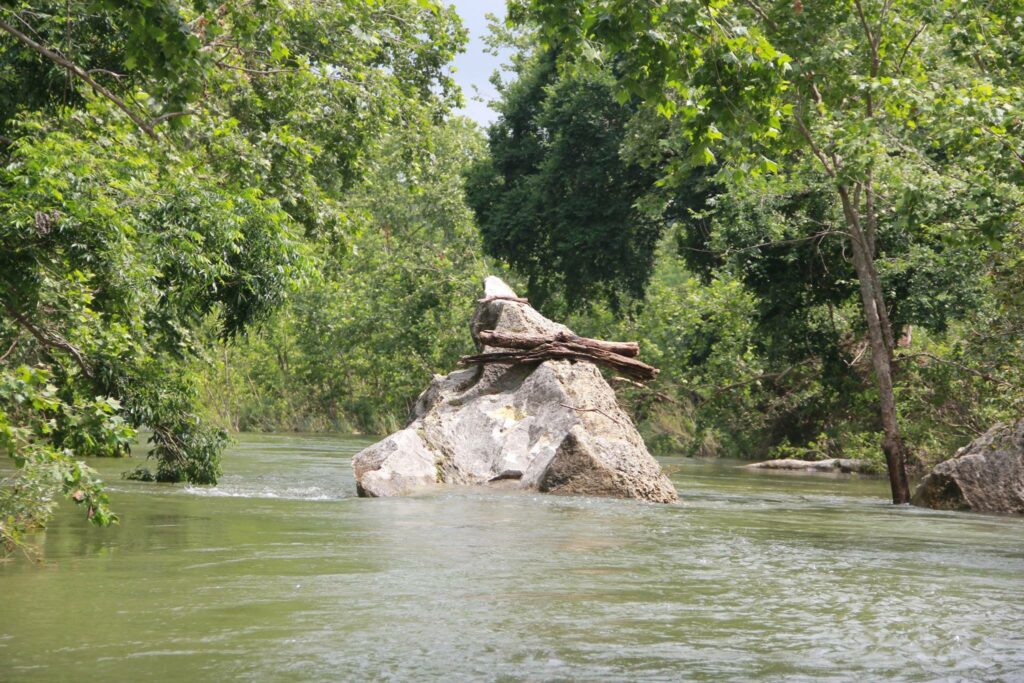
Photo courtesy of American Whitewater
Description
Diagonal dam/low-water crossing creates a mild hydraulic at low runnable flows (behavior at higher flows is unknown.) It can be run at river left if there is sufficient water. A manky creek line exists at river right, although it can frequently become clogged with debris, and its runnability is unknown. Scout & portage on river left.
Location
Other Rapids on This Run (7)

View Full Run
1. SH 71 to Lost Creek (12 miles)
Barton Creek
II+
12.0 mi
Current Conditions
5-Day Forecast
Whitewater data from
American Whitewater
American Whitewater