Gauge Conditions
Data from American Whitewater & USGS

View Full Run
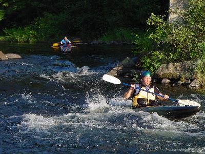
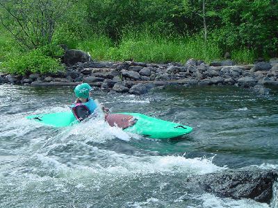
1. Tilton Road to Riverfront Park
Winnipesaukee
I-II
2.0 mi
Current Conditions
5-Day Forecast
Whitewater data from
American Whitewater
American Whitewater