Playspot
WI
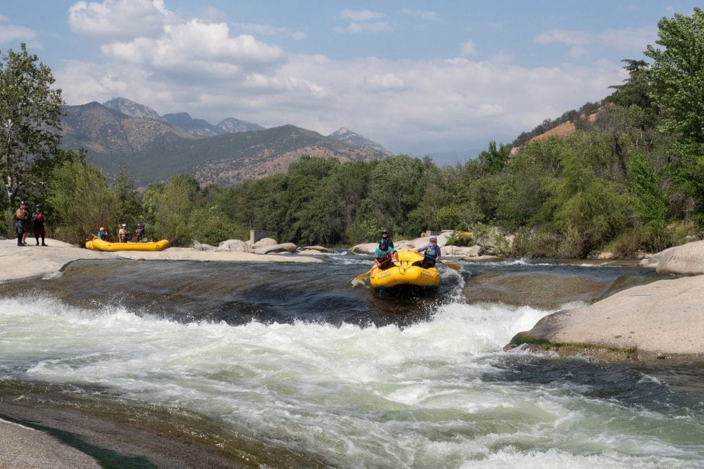
Midway Rips
Jump, S.Fk. - A) County Line Road Picnic Area to Little Falls (5.7-5.88 miles) (WI)
Gauge Conditions
Runnable: 525.0 – 3,525.0 CFS
Likely low flows (perhaps 150-300 cfs). (Possibly E.L.F. level - Extreme Low Flow run.)
Data from American Whitewater & USGS
Photo
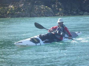
Photo courtesy of American Whitewater
Description
Very nearly midway down the run the areas of rock-garden rapids increase significantly.
Location
Other Rapids on This Run (4)

View Full Run
A) County Line Road Picnic Area to Little Falls (5.7-5.88 miles)
Jump, S.Fk.
I-II
5.7 mi
Current Conditions
5-Day Forecast
Whitewater data from
American Whitewater
American Whitewater