Put-in
WI
Put In
Jump, S.Fk. - A) County Line Road Picnic Area to Little Falls (5.7-5.88 miles) (WI)
Gauge Conditions
Runnable: 525.0 – 3,525.0 CFS
Likely low flows (perhaps 150-300 cfs). (Possibly E.L.F. level - Extreme Low Flow run.)
Data from American Whitewater & USGS
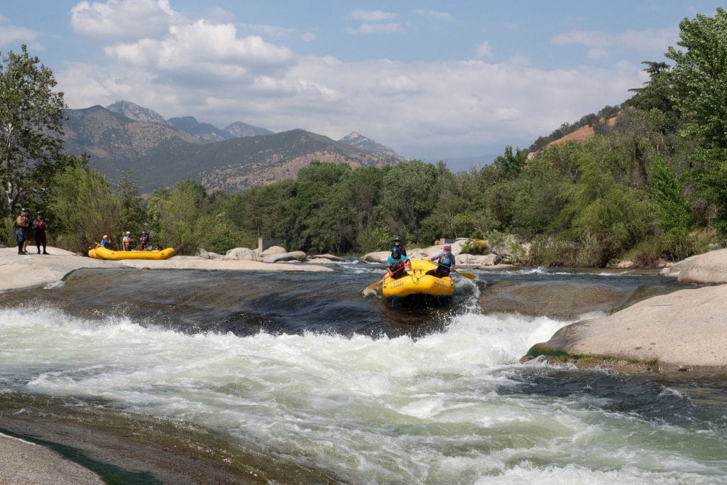
Photo

Photo courtesy of American Whitewater
Description
Put In rapid marks the entry point for this river section, featuring a straightforward but technical launch with potential rocky obstacles near the entry. Paddlers should carefully assess water levels and choose a clean line that avoids potential pin hazards along the river's initial descent from the County Line Road access point.
Location
Other Rapids on This Run (4)
View Full Run
A) County Line Road Picnic Area to Little Falls (5.7-5.88 miles)
Jump, S.Fk.
I-II
5.7 mi
Current Conditions
5-Day Forecast
Whitewater data from
American Whitewater
American Whitewater