Gauge Conditions
Photo
Description
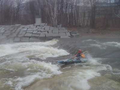
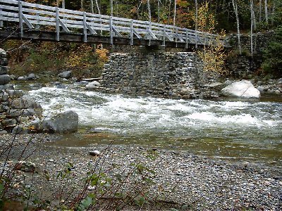
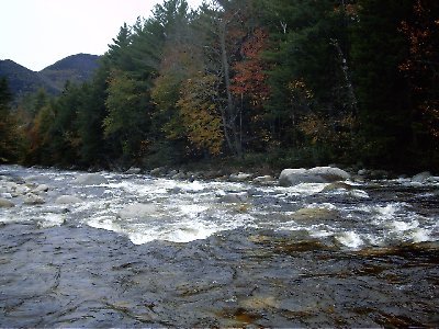
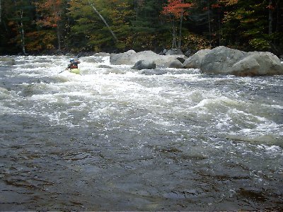
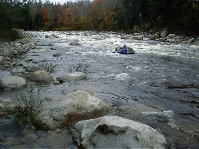
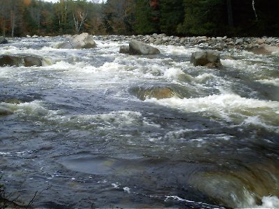
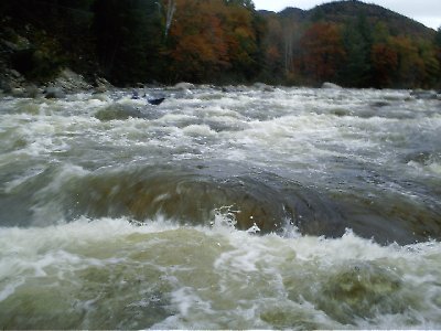
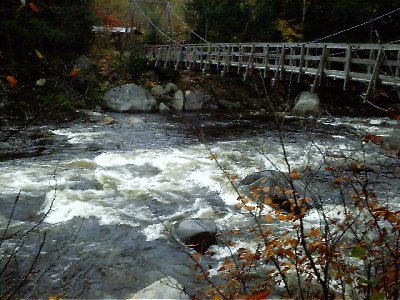
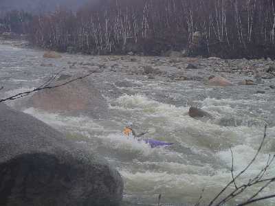
Once you view the USGS gauging building on your right, take out on river left on a gravel beach and scout the next drop. The rapid funnels through a cut in the log cribbing of an old delapitated dam then slides over a smooth ledge with two river wide hydraulics. At low water the upper hydraulic is worse, while at high water the lower one is. These hydraulics can hold boats and boaters for sometime and most people choose to walk around this rapid. There is a sneak route on the far left and another just to the left of the holes. The far left requires a paddler to scrape over ledge halfway down if the water is medium or lower. The usual route would be to run the tightrope just left of the holes and right of the shallow ledge. You can easily get off line here and end up in one of the holes.
Location
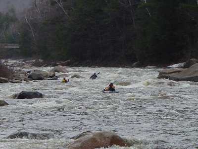
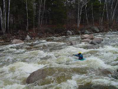
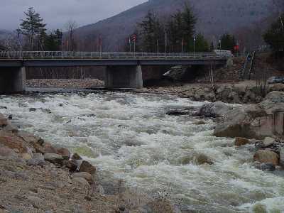
Other Rapids on This Run (20)
 Rapid
Rapid
 Rapid
Rapid
 Rapid
Rapid
 Rapid
IV
Rapid
IV
 Rapid
IV
Rapid
IV
 Rapid
IV
Rapid
IV
 Rapid
IV+
Rapid
IV+
 Rapid
IV
Rapid
IV
 Rapid
III+
Rapid
III+
 Rapid
IV
Rapid
IV
 Hazard
IV
Hazard
IV
 Rapid
N/A
Rapid
N/A
 Rapid
IV
Rapid
IV
 Rapid
IV
Rapid
IV
 Hazard
IV
Hazard
IV
 Rapid
IV
Rapid
IV
Current Conditions
5-Day Forecast
American Whitewater