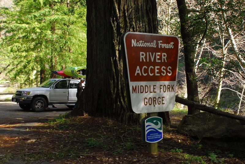
NF Smith Confluence & Water Plant River Access
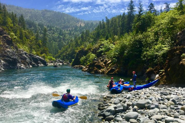
Smith, Middle Fork - Patrick Creek Campground to Forks River Access (CA)
Gauge Conditions
Description
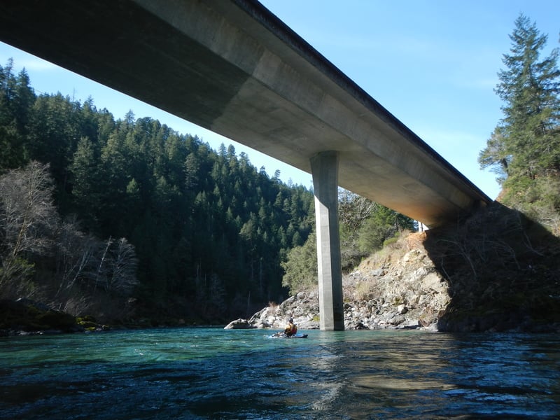
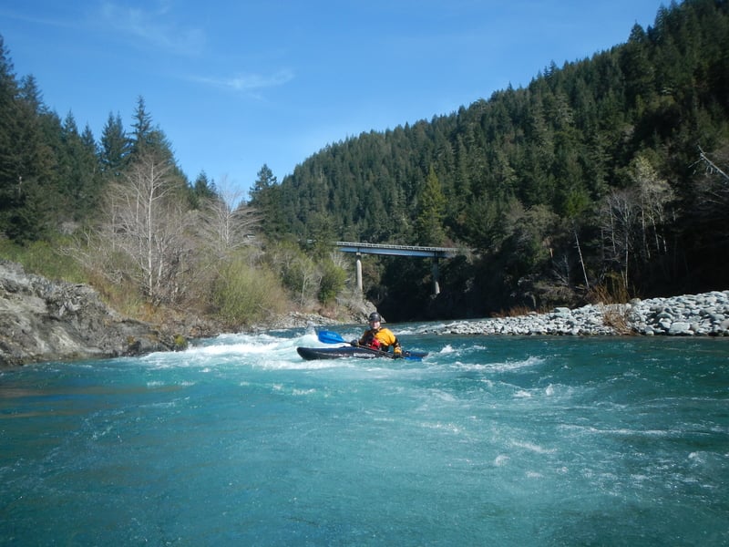
The town of Gasquet lies between the highway on the south and the river on the north. The North Fork Smith joins the Middle Fork Smith near the upstream end of the town of Gasquet. A bridge crosses the Middle Fork just before the confluence and there are a few homes visible along the river banks here. Located at USGS River Mile 8.1.
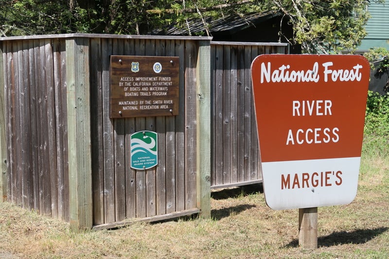
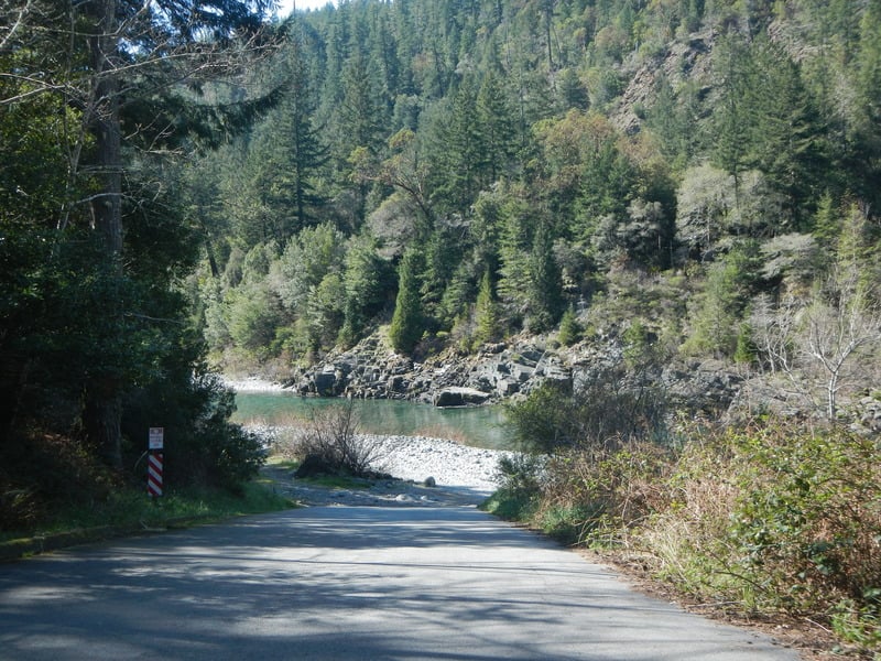
The Gasquet Water Plant is on the river right side at the confluence, and a steep climb up the rocks leads to a trail then double-track road past the water plant to the paved Gasquet Flat Road. Kayakers and othe small craft paddlers often use this as a take-out. Rafters typically continue downriver to take out at the more accesible Margie's River Access.
Location
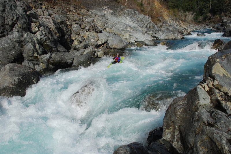
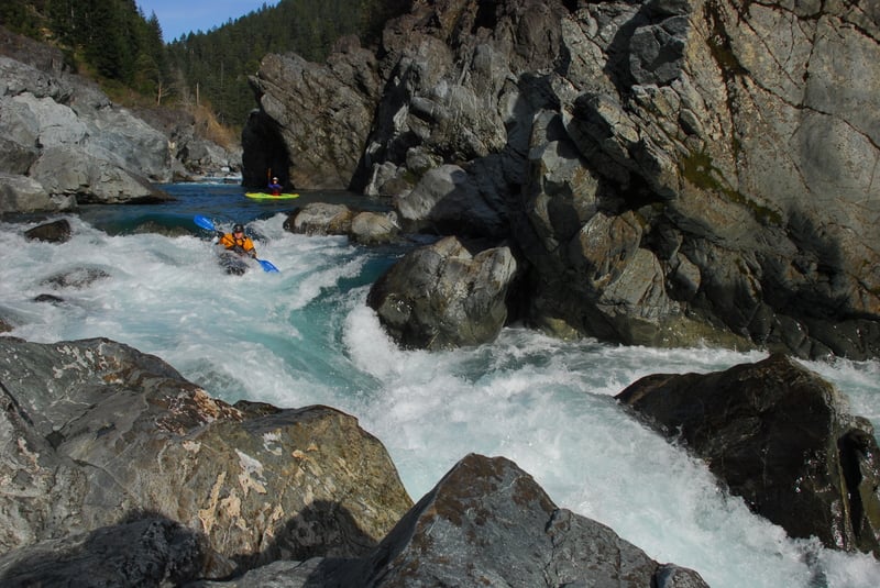
Other Rapids on This Run (17)
 Rapid
N/A
Rapid
N/A
 Rapid
N/A
Rapid
N/A
 Rapid
III
Rapid
III
 Rapid
III
Rapid
III
 Rapid
III
Rapid
III
 Rapid
N/A
Rapid
N/A
 Rapid
V
Rapid
V
 Rapid
V
Rapid
V
 Rapid
N/A
Rapid
N/A
 Rapid
N/A
Rapid
N/A
Current Conditions
5-Day Forecast
American Whitewater