Gauge Conditions
Runnable: ? – ? CFS
Approximate - nearest available gauge. Use as general reference only.
Data from American Whitewater & USGS
Photo
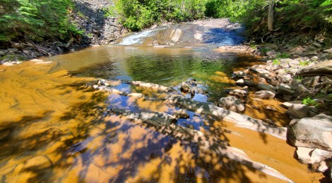
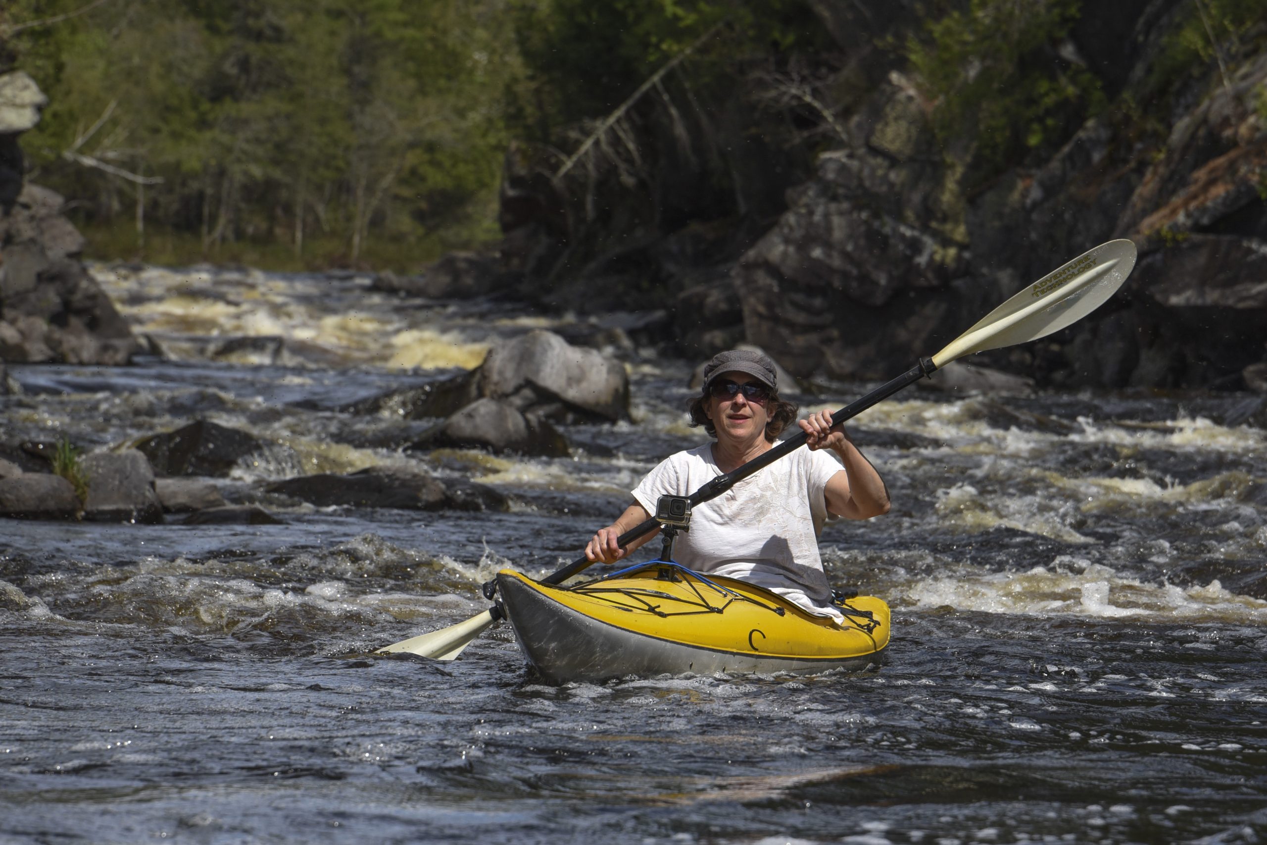
Photo courtesy of American Whitewater
Description
Described as "a twelve-foot graded drop", a decent photo of the falls at low water (found at: Flickr):
The falls is "adjacent to the old Nonesuch Mine ruins as well as a mining ghost town of the same name. The Nonesuch place name originated from the uniqueness of the geology in the bedrock: "none such" rock—copper-containing sandstone—had ever been found before."
Location
Other Rapids on This Run (4)


View Full Run
Nonesuch Falls to Hwy 107 (7.66 miles)
Little Iron
II-III(IV)
7.7 mi
Current Conditions
5-Day Forecast
Whitewater data from
American Whitewater
American Whitewater