Gauge Conditions
Runnable: ? – ? CFS
Approximate - nearest available gauge. Use as general reference only.
Data from American Whitewater & USGS
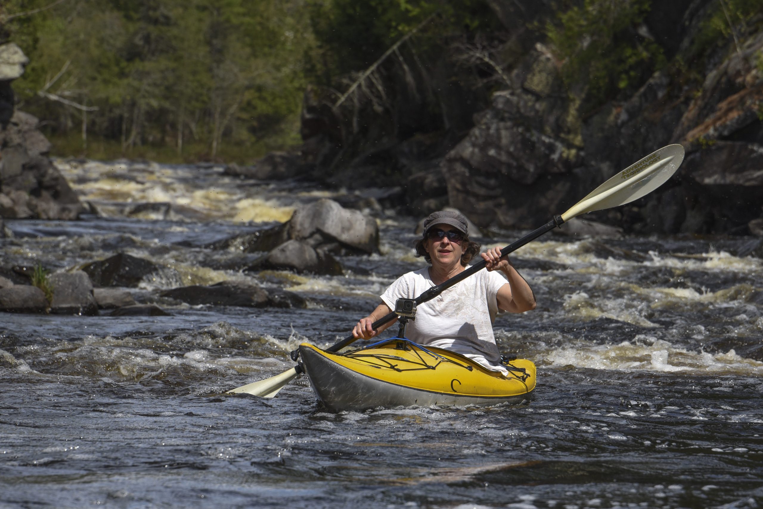
Photo

Photo courtesy of American Whitewater
Description
Take Out rapid marks the conclusion of the Nonesuch Falls river section, featuring a broad, shallow drop with scattered boulder fields that require precise navigation. Paddlers should be prepared for potential underwater obstacles and shifting current lines, with a recommended center-right approach during moderate water levels to avoid potential pin hazards.
Location
Other Rapids on This Run (4)

View Full Run
Nonesuch Falls to Hwy 107 (7.66 miles)
Little Iron
II-III(IV)
7.7 mi
Current Conditions
5-Day Forecast
Whitewater data from
American Whitewater
American Whitewater