Gauge Conditions
Runnable: 3,000.0 – 4,500.0 CFS
Likely 'fish flow' of 350 cfs.
Data from American Whitewater & USGS
Description
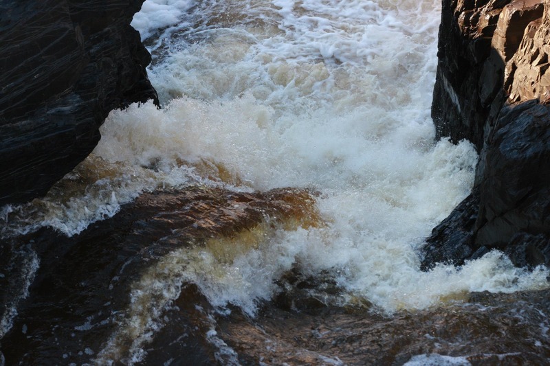
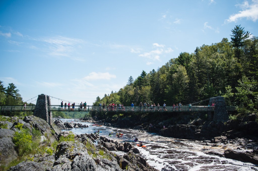
From a parking lot which is part of Jay Cooke State Park, an easy trail leads (maybe 250 yards) to a viewing area high over the river. From here you can see upstream all the way to Fin Falls (in the distance).
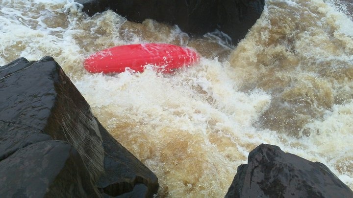
Boaters who have run this lower part of the river (who did not get out at Swinging Bridge/Fin Falls) have a long, steep, grueling climb up a rugged (unofficial) trail up a gully to make their way up to this viewing area and back to their shuttle vehicles.
Topo maps list the summit height near the parking area as 973', whereas your river-take-out is something near 710', so you are making about a 260' climb in about a quarter-mile!
Location
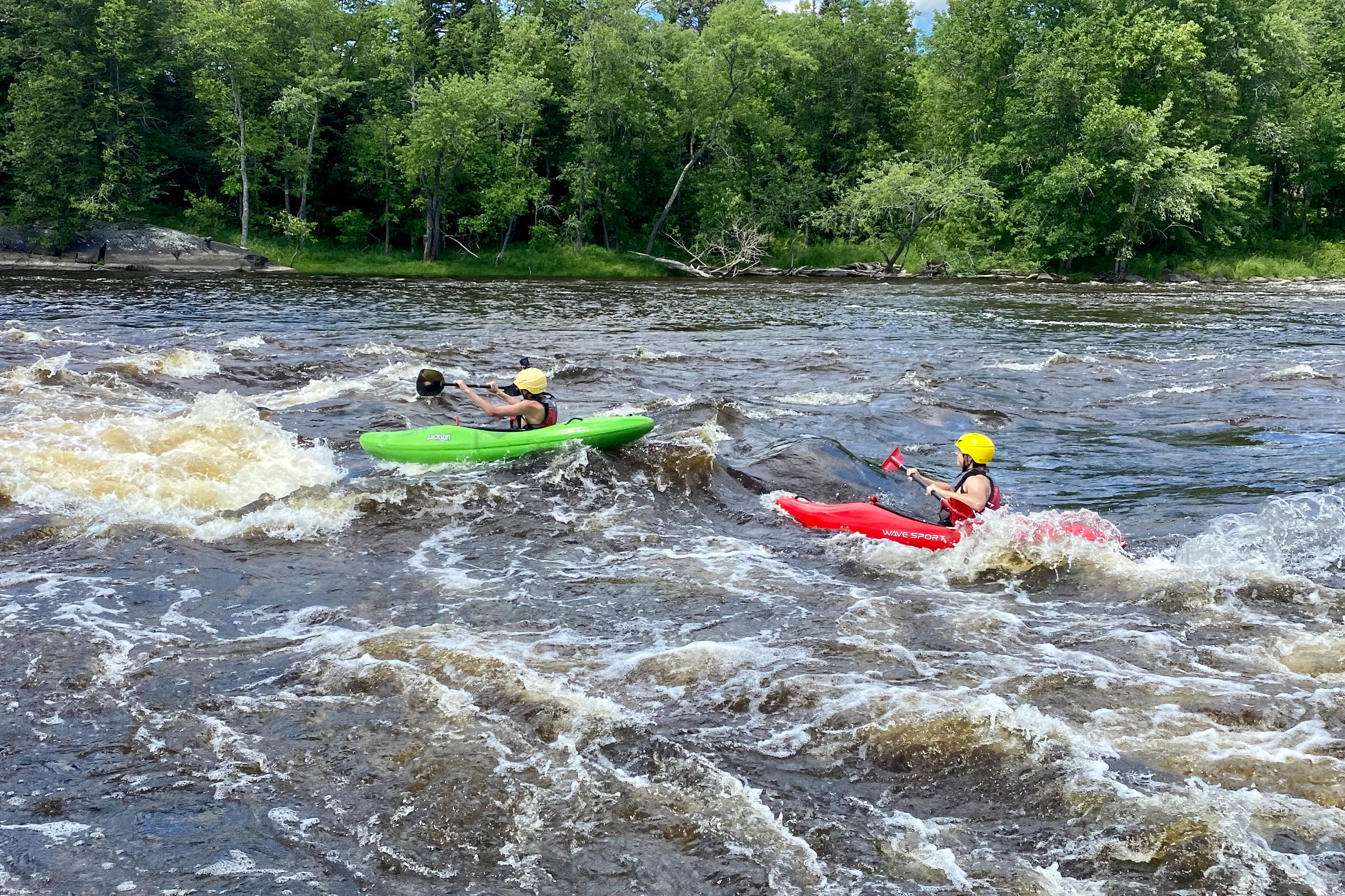
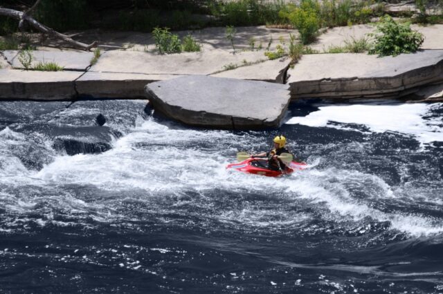
Other Rapids on This Run (13)
 Waterfall
IV+
Waterfall
IV+
Slot Machine
 Rapid
N/A
Rapid
N/A
Put In
Rapid
N/A
Entrance
 Playspot
III
Playspot
III
The "210 drop" (First Rodeo Hole)
 Playspot
III
Playspot
III
Second Rodeo Hole
Rapid
N/A
Twisted Sister
 Rapid
IV
Rapid
IV
Octopus
 Waterfall
IV
Waterfall
IV
Swinging Bridge
Rapid
IV+
"The Miracle Mile"
 Playspot
N/A
Playspot
N/A
Play Pen
 Rapid
IV+
Rapid
IV+
Fin Falls
Rapid
N/A
"The Wall"
 Rapid
N/A
Rapid
N/A
Take Out
View Full Run
E) CR210 to Oldenburg Point (3.25 miles)
St. Louis
II-V
3.3 mi
Current Conditions
5-Day Forecast
Whitewater data from
American Whitewater
American Whitewater