Gauge Conditions
Runnable: 3,000.0 – 4,500.0 CFS
Likely 'fish flow' of 350 cfs.
Data from American Whitewater & USGS
Description
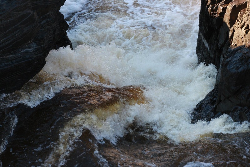
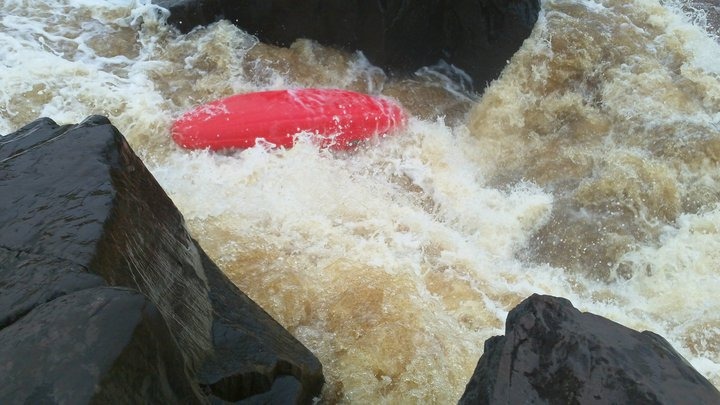
After Fin Falls the river (as stated before) is a myriad of splines of rock, forming short steep slides too numerous to detail. The river is wide, and scouting from shore is nearly impossible, though occasionally one may be able to beach on rock/islands midstream for a breather and mid-river scout. In general, the usual route stays well to river right, where boaters will slip and slide down river and rock to work their way down. First-timers will want to be in the company of boaters well-experienced with lines down the final gradient.
The last 50-100 yards gets even steeper, entering "The Wall". More advanced boaters may work to center-river to slide down a large steep-sloping wall of rock. Most will stay to the right to work down more gradual (but still demanding) sluices and ledges to reach the boney pool at the end.
Whatever routes taken, AS SOON AS THE GRADIENT SUBSIDES, get to river-left for your take-out and carry up to Oldenberg Point! Climb over the rock jumble on shore, head up a small trail, across and through a gully, and climb (and climb, and climb) up to Oldenberg point. (Hope you're in good shape, and have a light boat!)
When you reach the top, take a look upstream from the overlook for an amazing view (from on high) of the incredible stretch of water you have just survived! In the distance, you will just make out the slot which is Fin Falls.
Location
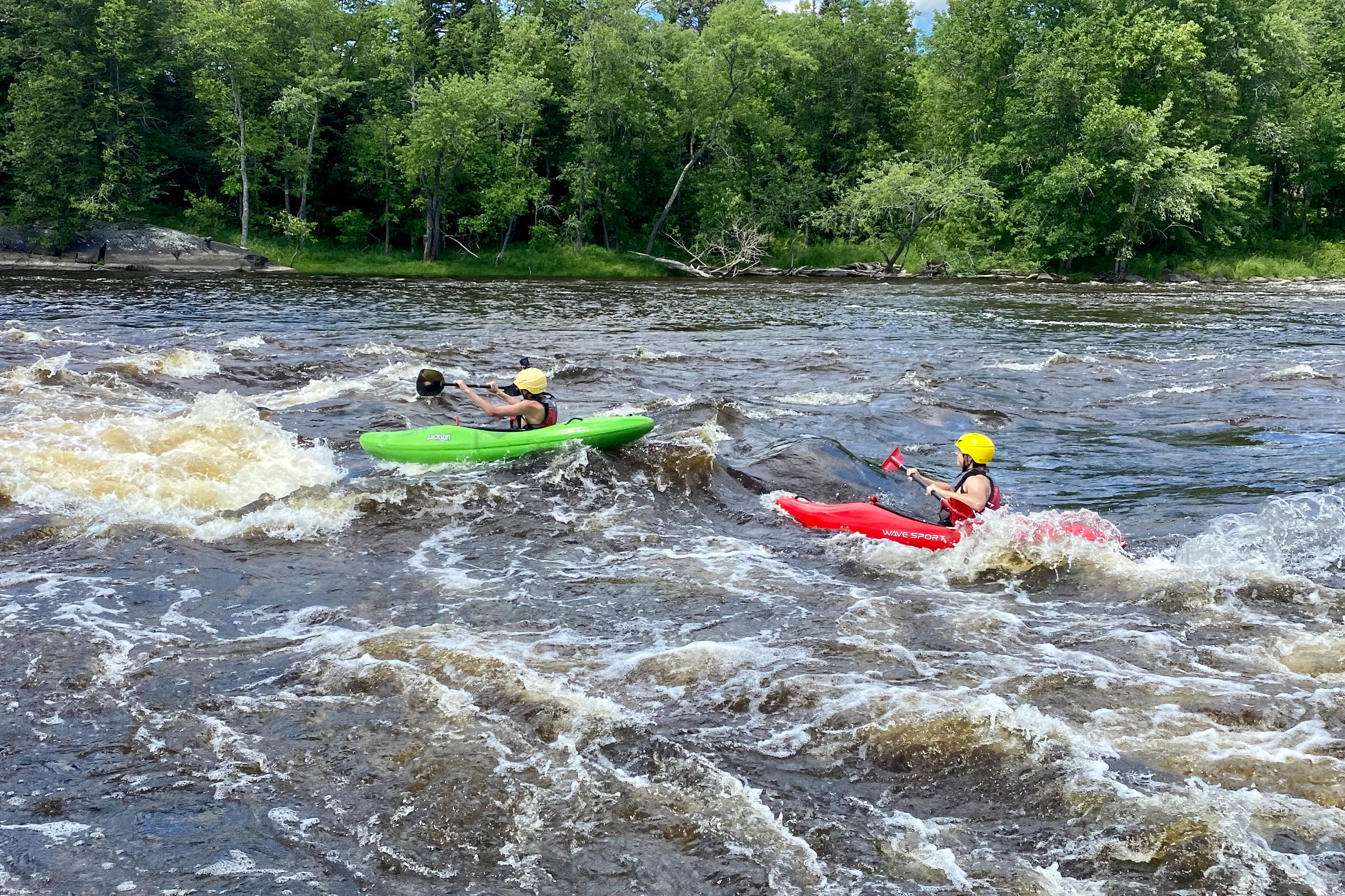
Other Rapids on This Run (13)
 Waterfall
IV+
Waterfall
IV+
Slot Machine
Rapid
N/A
Entrance
 Rapid
N/A
Rapid
N/A
Put In
 Playspot
III
Playspot
III
The "210 drop" (First Rodeo Hole)
 Playspot
III
Playspot
III
Second Rodeo Hole
Rapid
N/A
Twisted Sister
 Rapid
IV
Rapid
IV
Octopus
 Waterfall
IV
Waterfall
IV
Swinging Bridge
Rapid
IV+
"The Miracle Mile"
 Playspot
N/A
Playspot
N/A
Play Pen
 Rapid
IV+
Rapid
IV+
Fin Falls
 Rapid
N/A
Rapid
N/A
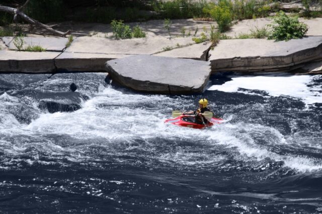
Take Out
Rapid
N/A
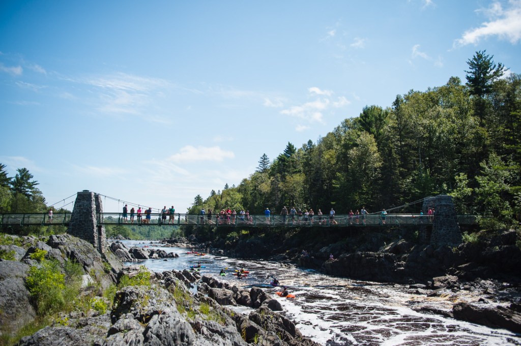
Oldenburg Point Viewing Deck
View Full Run
E) CR210 to Oldenburg Point (3.25 miles)
St. Louis
II-V
3.3 mi
Current Conditions
5-Day Forecast
Whitewater data from
American Whitewater
American Whitewater