Gauge Conditions
Upper limit for best boatability uncertain. Please help your fellow boaters with a comment or report.
Description
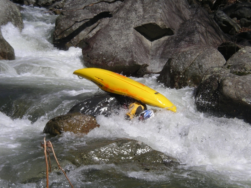
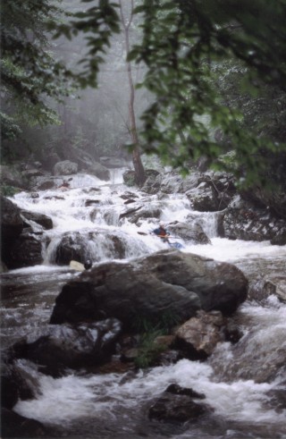
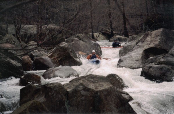
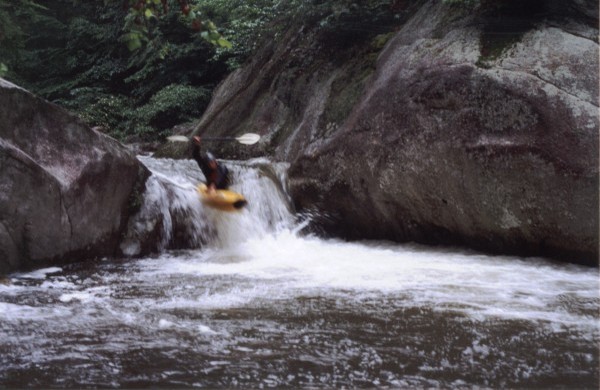
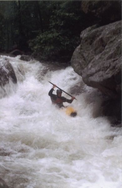
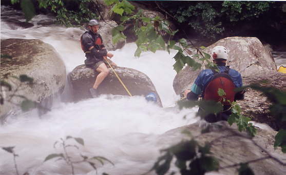
Scout respectfully on the river-right, staying within the high-water line. This rapid has changed significantly since the first-descent in 1995. Back then, "Packsaw" ended with a 8+ foot mini-waterfall boof over a sticky hole. Remnants of a hurricane sometime in the late '90's / early-2000s collapsed the ledge and turned the lower part of this rapid into a jumbled mess. Most folks portage the rapid now; it has a long, technical entrance and the crux comes at the very end of the rapid, where the water dumps directly into a rough, overhanging piton rock. In general, it feels a little bit better at higher flows but is still not recommended. Portage respecfully. Be aware that there is a hard-to-see undercut/sieve on the left about 70% through the rapid.
Location
Current Conditions
5-Day Forecast
American Whitewater