Gauge Conditions
Approximate - nearest available gauge. Use as general reference only.
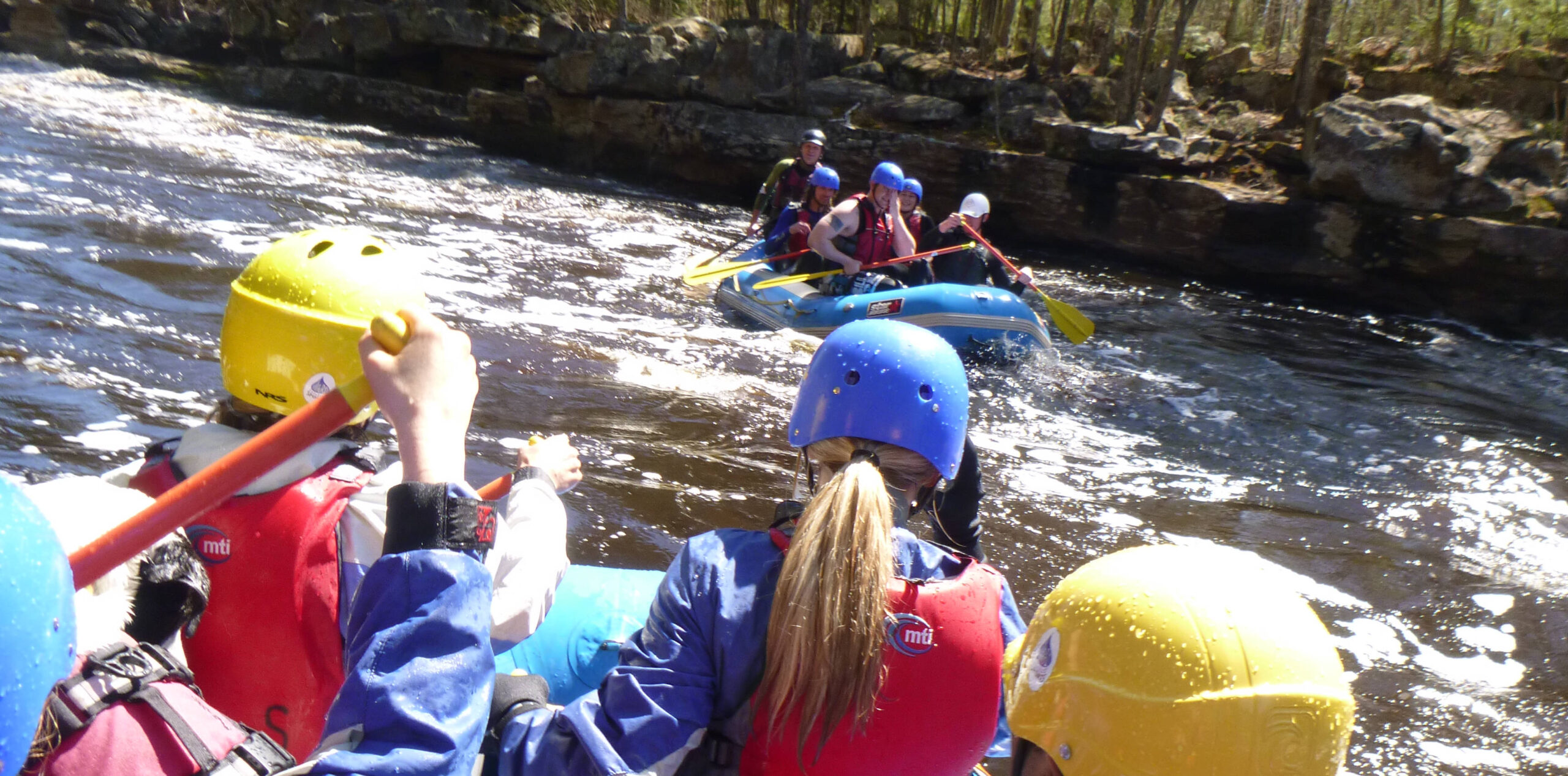
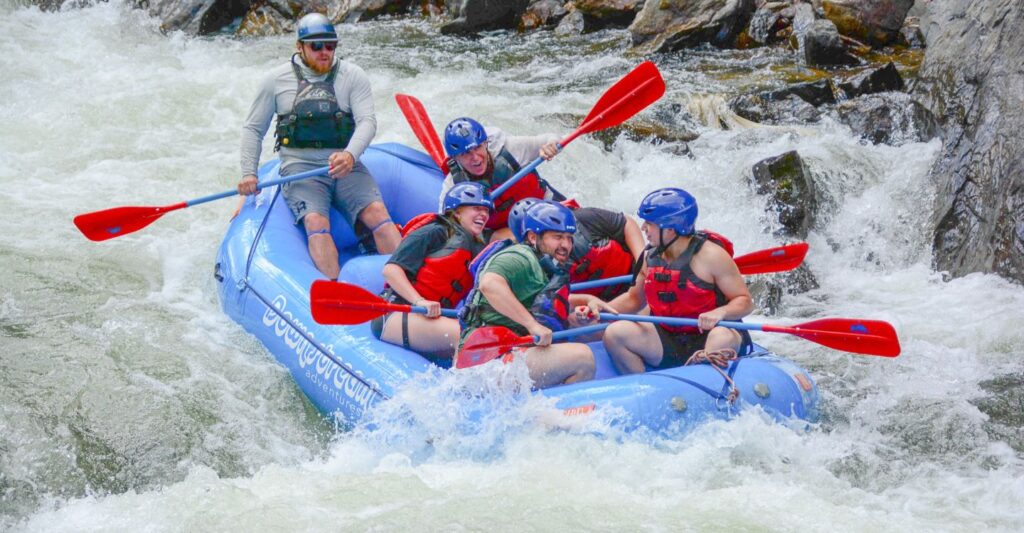
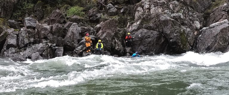
Photo

Description
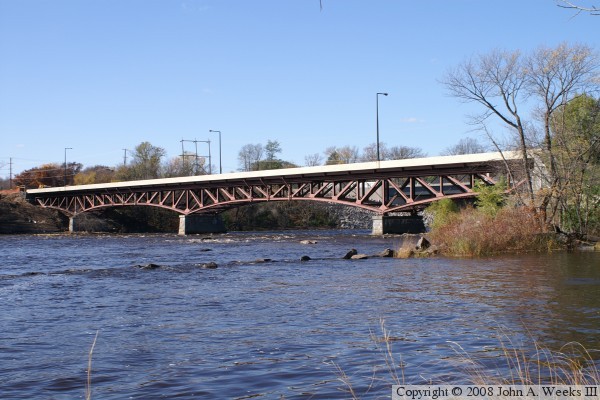
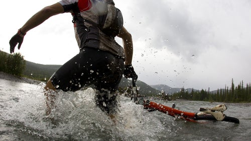
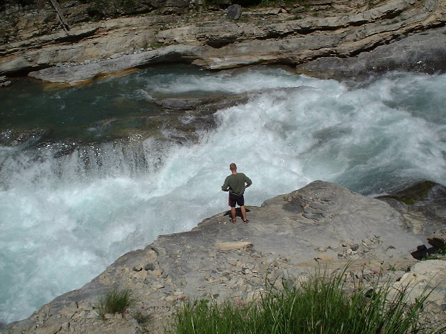
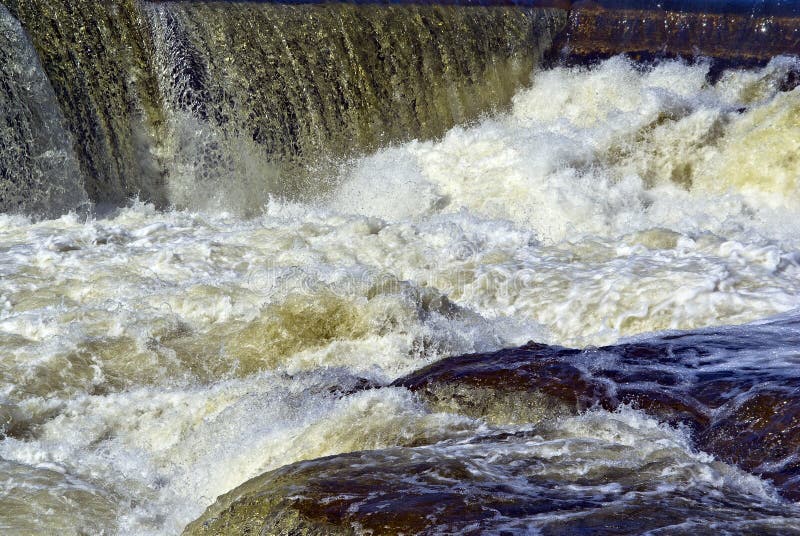
If you've paid attention since the SHT bridge (at mile 6.54), the river has three times (in about 1.5 miles) swung almost due East for short stretches (on its otherwise predominantly SSE direction the latter half of this run). At this point, it takes a sharp (90-degree/right-angle) to the WEST. This is your cue to be very cautious about how far downstream you go. Right at this bend SHT is very close on the left, but it veers to the left as the river veers right, meaning you'll be bushwacking from shore anyplace downstream. (Not that there is any sort of dense underbrush, just that there is not a wide groomed trail.) Downstream of this right-elbow bend, the pace accelerates.
(All fellow boaters and I would appreciate update/revision if the above description is inaccurate!)
Location
Other Rapids on This Run (16)
 Rapid
N/A
Rapid
N/A
 Rapid
II
Rapid
II
 Rapid
II
Rapid
II
 Rapid
III
Rapid
III
 Rapid
N/A
Rapid
N/A
 Rapid
III
Rapid
III
 Rapid
N/A
Rapid
N/A
 Rapid
N/A
Rapid
N/A
 Rapid
III
Rapid
III
 Waterfall
N/A
Waterfall
N/A
 Rapid
N/A
Rapid
N/A
 Waterfall
N/A
Waterfall
N/A
 Waterfall
N/A
Waterfall
N/A
 Rapid
N/A
Rapid
N/A
 Rapid
N/A
Rapid
N/A
 Rapid
N/A
Rapid
N/A
Current Conditions
5-Day Forecast
American Whitewater