Start of a nice sequence
Cross - Forest Rd 166 to falls above Hwy 61 (8.5 miles) (MN)
Gauge Conditions
Approximate - nearest available gauge. Use as general reference only.
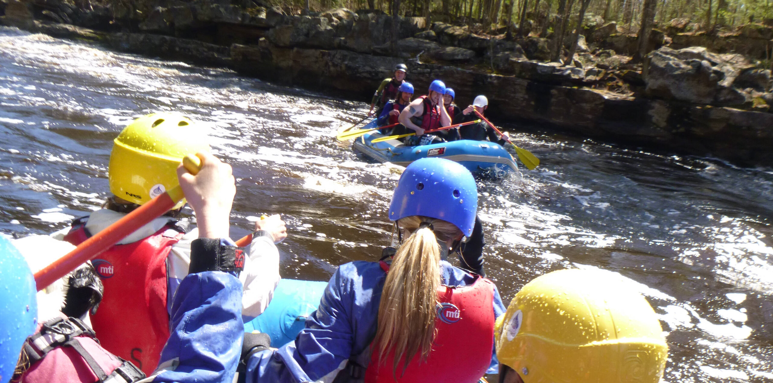
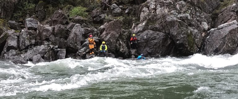
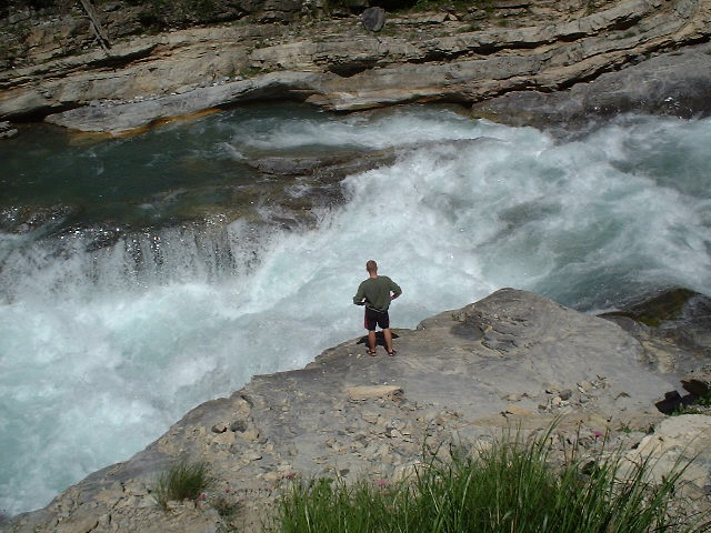
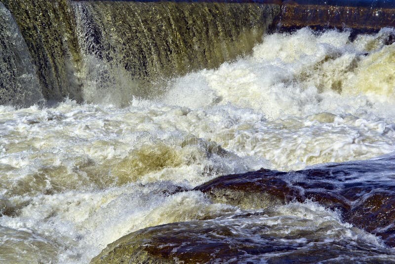
Photo
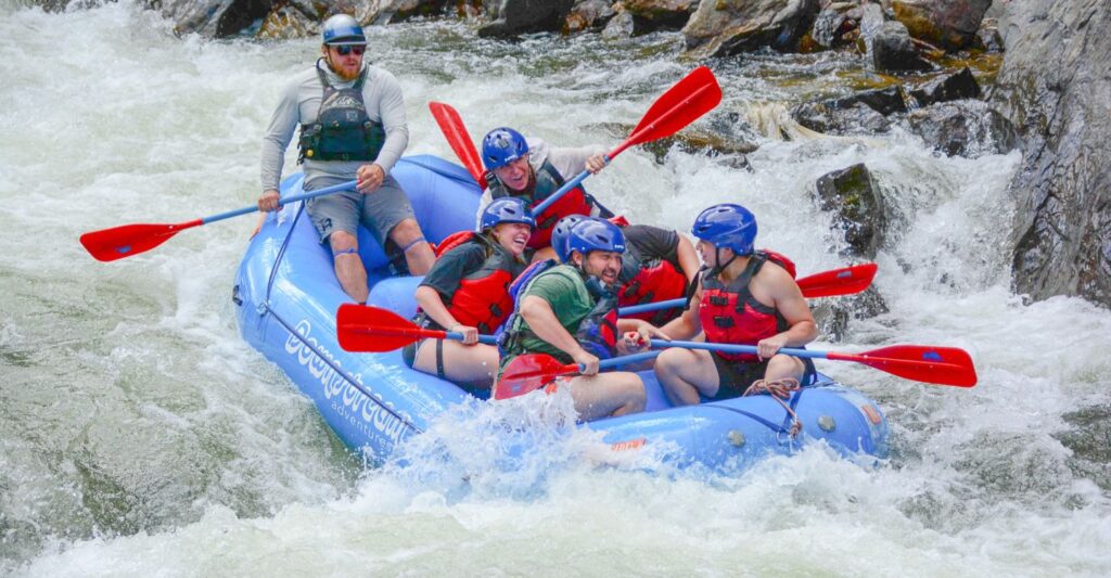
Description
We do not have much accurate information about specific drops on this run (nor names for them). Therefore NONE of the 'names' here are actual names, but rather are just descriptions. Do NOT expect this to be an accurate account of every significant feature on the run. What follows is strictly what can be perceived from aerial views online, and should be taken primarily as 'way-points and mile markers' to anticipate or judge how far along you are down the run. Aerial view of the river is often obstructed (especially in narrow, tree-lined areas or gorges), which will preclude perception of some drops from online inspection.
Anyone having more/better information is highly encouraged to help your fellow boaters by either (1) email me, via address listed on 'Credits & Network' tab, (2) use the 'Add a Comment' button below, or (best of all) (3) email me to volunteer as StreamTeam member so you can update this description (or any of the other awesome North-Shore rivers you have familiarity with).
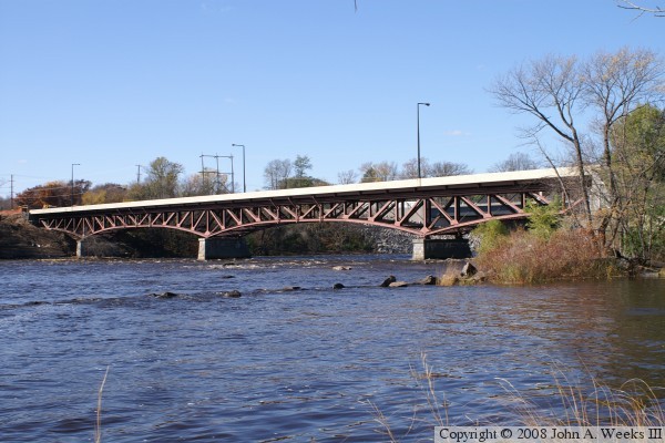
Location
Other Rapids on This Run (16)
 Rapid
N/A
Rapid
N/A
 Rapid
II
Rapid
II
 Rapid
III
Rapid
III
 Rapid
N/A
Rapid
N/A
 Rapid
III
Rapid
III
 Rapid
N/A
Rapid
N/A
 Rapid
N/A
Rapid
N/A
 Rapid
III
Rapid
III
 Waterfall
N/A
Waterfall
N/A
 Rapid
N/A
Rapid
N/A
 Waterfall
N/A
Waterfall
N/A
 Portage
N/A
Portage
N/A
 Waterfall
N/A
Waterfall
N/A
 Rapid
N/A
Rapid
N/A
 Rapid
N/A
Rapid
N/A
 Rapid
N/A
Rapid
N/A
Current Conditions
5-Day Forecast
American Whitewater