Gauge Conditions
Runnable: ? – ? CFS
Approximate - nearest available gauge. Use as general reference only.
Data from American Whitewater & USGS
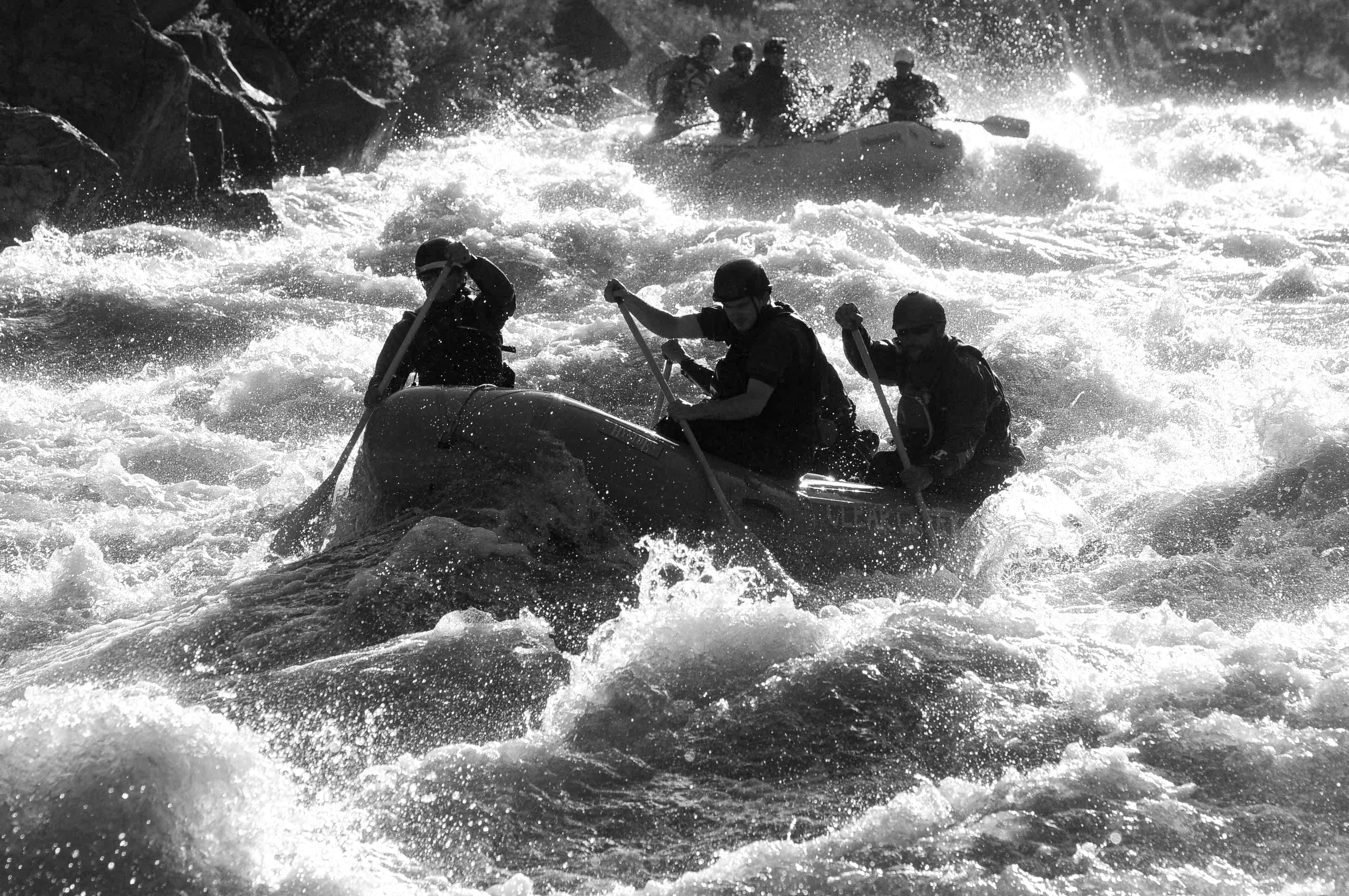
Photo
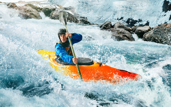
Photo courtesy of American Whitewater
Description
Put In rapid marks the entry point for this section of the Conejos, offering paddlers an immediate immersion into the river's flow. While specific details are limited, the rapid likely features initial navigational challenges that set the tone for the downstream run, potentially including initial boulder garden or constriction elements that require precise maneuvering.
Location
Other Rapids on This Run (1)
View Full Run
02. South Fork CG to Highway 17 Bridge
Conejos
II+
12.6 mi
Current Conditions
5-Day Forecast
Whitewater data from
American Whitewater
American Whitewater