Gauge Conditions
Runnable: ? – ? CFS
Approximate - nearest available gauge. Use as general reference only.
Data from American Whitewater & USGS
Photo
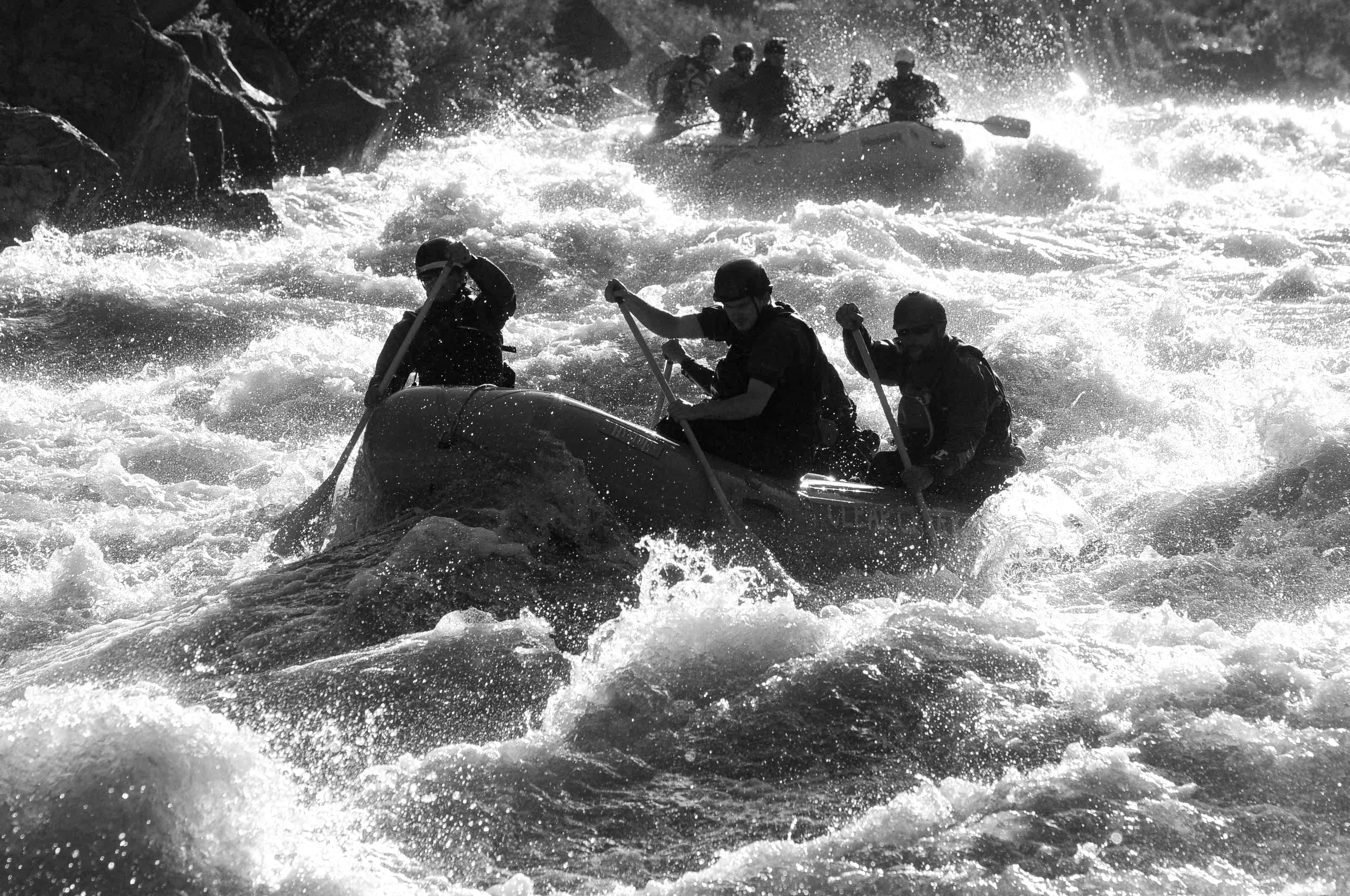
Photo courtesy of American Whitewater
Description
Take Out rapid marks the end of the South Fork section, featuring a straightforward line with minimal technical challenges. Paddlers should be aware of potential shallow rocks near the river's edge as they approach the Highway 17 Bridge takeout point, and maintain situational awareness during the final approach.
Location
Other Rapids on This Run (1)
View Full Run
02. South Fork CG to Highway 17 Bridge
Conejos
II+
12.6 mi
Current Conditions
5-Day Forecast
Whitewater data from
American Whitewater
American Whitewater